TT2000 2017 – Planning Stage
Time for the annual TT2000 to start. The information was released on the 1st September 2016 and I grabbed everything that I could off the site. Once I got home from work I decided to load all the checkpoints into Basecamp and see what it looked like.
This year everyone starts in Christchurch but you can pick to finish in Picton or Dunedin. Of course I picked Picton to finish in. So I booked the Bluebridge ferry over to the South Island arriving 6am on Friday 24th February and booked a sleeper cabin as well. Next was to see how many points I needed to visit to get the 60,000. The points were in 4 clusters so everyone would need to visit 3 of the clusters to get enough. I laid out a route for Friday finishing in Darfield for the night. A total of 509kms to be done. Next I laid out Saturday’s route going through Arthur’s pass and down as far as Franz Josef and back to Takaka and then back to Motueka for a sleep for the night. Going to be a long days riding Saturday with 1280kms travelled!
Sunday takes me from Motueka to Picton finish covering a measly 346kms to finish at around 10am and catch the early ferry home.
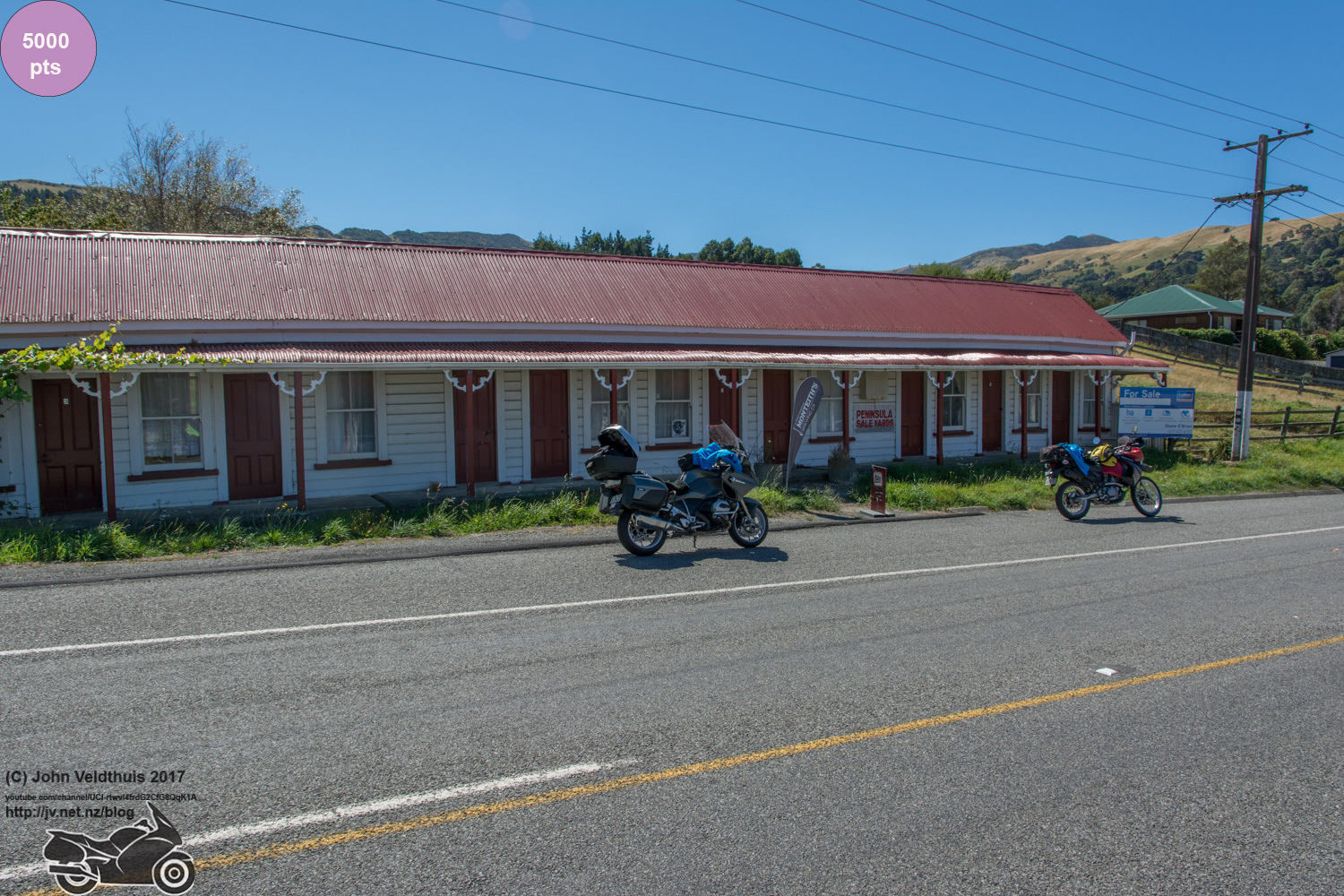
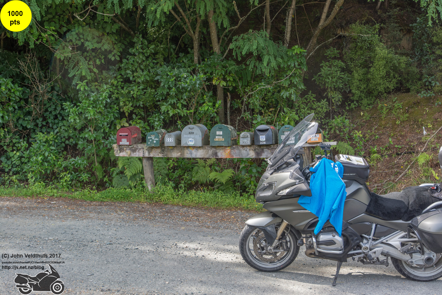
After all that I found I was 3,000 points short so I needed at least one of the four mystery locations. Number 4 was quite easy to find via Google but it was way down south and no good to me. I found number 3 quite easy as it was a pier so it was just a matter of using Google maps to search the coves. Took a while but was rewarded as it was on my path. Now had enough points. Number 2 was a bit harder and was a bridge near a railway crossing. Got the railway map of the South Island and as most where closed and the picture showed that the track was in good use soon found that one as well using Google maps and following the railway lines. Number 1 was going to be a bit harder as it was a historical building with not much else to go on. I got a clue for this one from a forum even though I did not actually ask for a clue. This too was on my route so I now had 11,000 points extra and was all planned out. However after a few days I removed 8,000 points. One One seemly had horrible gravel road to it and I have an aversion to gravel having all but one of my seven punctures happen on it. I also found that the road to Goddley Heads was closed and would have to take the long way around. Didn’t need all those points anyway so off they came. Had 12kms to spare now so will have to go around the block a few times no doubt somewhere.
Booked a $40 stay in Darfield and a $90 stay in Motueka (always hard to find somewhere to stay there that time of the year) and was ready to go and it is only the 3rd September. Just need to plan my fuel stops and put some times down for the run to ensure I stay on track.
I won’t put up the route with this as it will give the mystery locations away and others may want to find them themselves.
Then the earthquake struck and basically killed the road from Picton to Christchurch. What was going to be a nice leisurely 4 hour cruise down the coast had now turned into a 5.5 hour ride down the centre and across the Lewis Pass. TPTB say it will over 7 hours but the GPS says 5.5 and it is usually right. So as long as the ferry is not delayed that will put me in Christchurch with 30 minutes to spare for the start. Then in January the weather did not play ball and mothered the Lewis and Arthur’s Pass. Hopefully they will have cleaned up the mess in the 4 weeks left until the start but it may slow my trip down.
Day 1 – The Trip down & Start
I left home about 5:00pm for a nice quiet ride down to Welling to catch the ferry on Thursday 23rd February. I refuelled in Wellington so I could zip straight off the ferry and start the long ride down to Christchurch. Boarded the ferry at midnight and climbed into my bunk for a 5-hour sleep.
Got up and had breakfast and was ready to go as the ferry docked. My 2017 TT2000 was not off to a good start as the ferry was late and docked at 6:25am but when my GPS picked up a signal it said Christchurch by 11:40. One of its first many lies. The weather was great but a bit foggy for the first hour as I made my way down the detour to Christchurch.
I can now also see why the roads in the naki are in such bad state of repair. All the road works crews and money are being spent on this one road. The road works were beyond a joke and I lost count after 30 of them and most had stop/go to kick. Most stop/go people were awesome in that when they saw me coming they flicked the sign around and let me through to catch up with the queue. However the constant slowing/stopping took its toll and the ETA went further and further back to finally finish at 12:20pm. I was going to refuel before I called in but decided to get the info first.
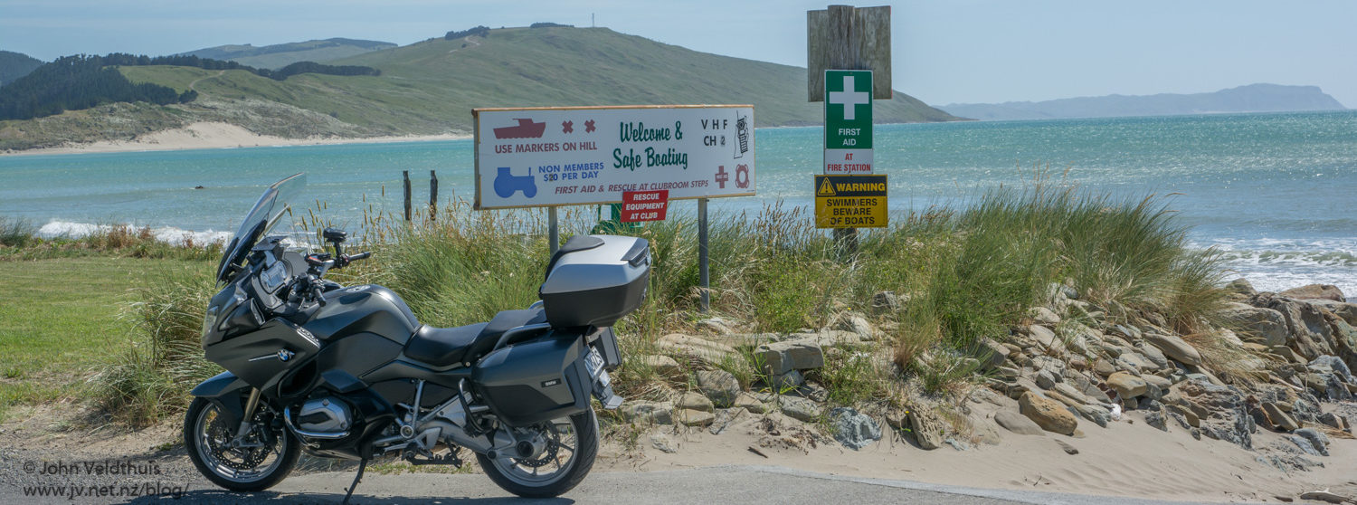
Everyone had already gone by the time I pulled in and it was a quick grab the tee shirt and go. I had tried to grab a time-lapse recording of the whole trip on my GoPro but after two attempts when it only ran for about a minute I gave up. Looked like it was losing power or something.
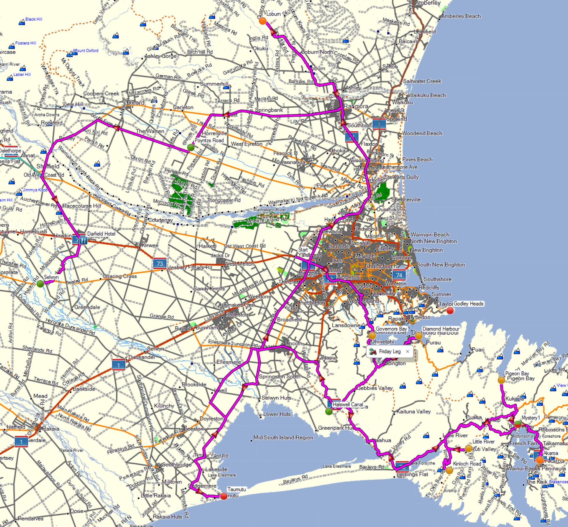
Day 1 – Friday Leg
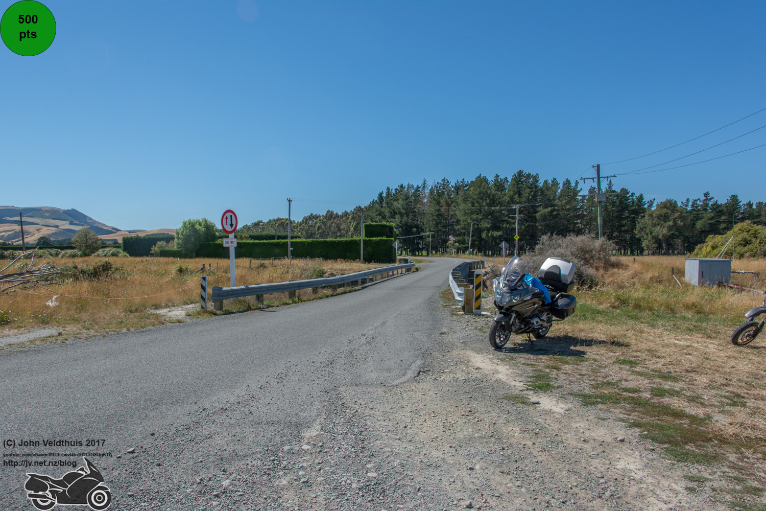
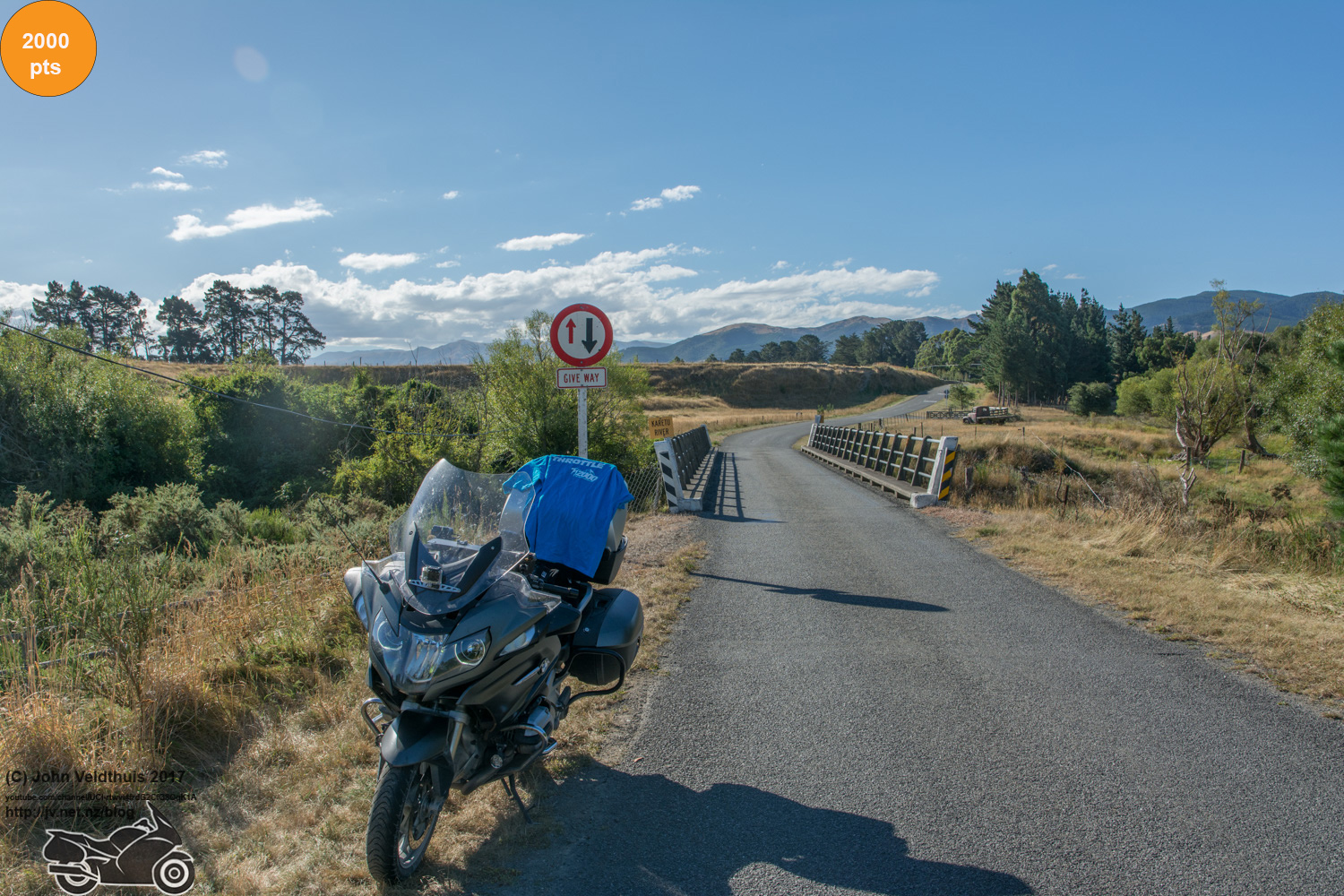
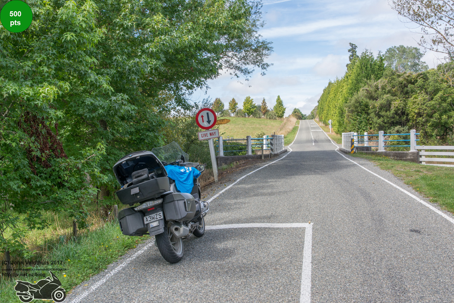
So I headed off and topped up the big tank and headed for my first checkpoint. Troubles struck very early and a sign soon informed me that the road was closed via Dyers Pass to Governors bay. That lead on to my second point of Diamond Harbour. I did not want to drag the laptop out and check for alternate routes and I had 4,500 points to spare and each of these were 1,000 so decided to shoot for checkpoint 3. This means I would be short on distance as I only had 83km up my sleeve but I had a cunning plan to get these back even though I did not know it at this point.
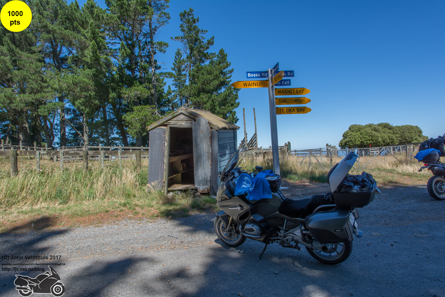
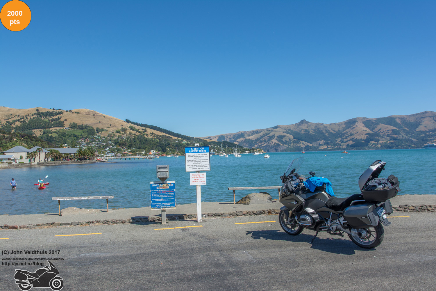
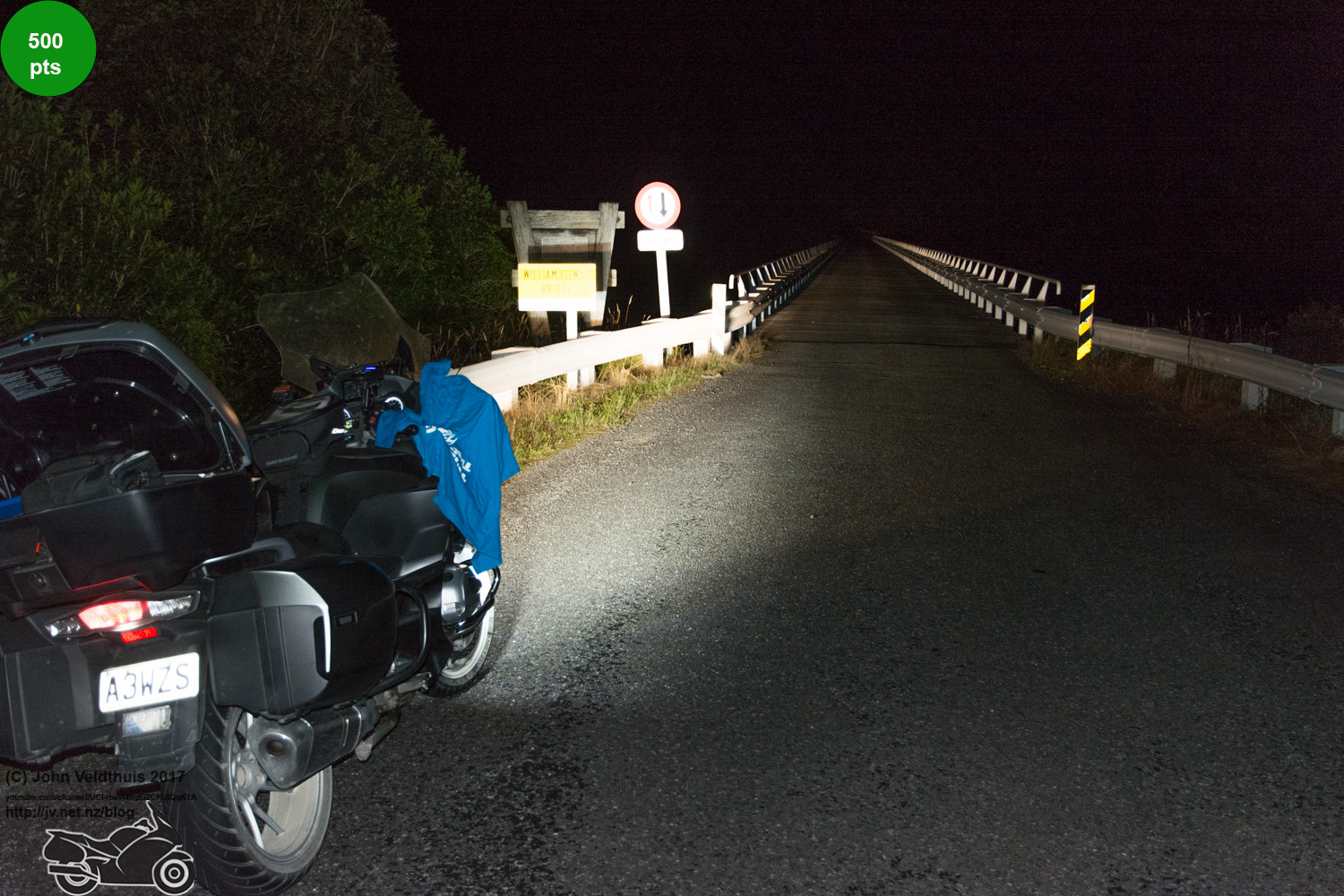
So onto my first real checkpoint of Halswell Canal. The road out was nice and plenty of bikes around. Picture taken and it was off to Kinloch Road for the second and then Little River for the third photo. Next was to be the Mystery #1 checkpoint and is the only one I did not find myself. It was an easy 5,000 points sitting right on the roadside I was going past. After that was Akaroa and then back the way I came for a bit onto Pigeon Bay. I had never ridden these roads before so was all new to me. Taumutu was next and it said the last 1.2km was gravel so I was expecting a bit of gravel even if I did not like it. The GPS turned me down a road and it was gravel so I thought it was close, then another gravel road, then another, passed some dogs and more gravel, then a bit of seal and then more gravel, then some dogs and suddenly thought they were the same dogs and the GPS was running me in circles. I zoomed it out and sure enough. I found the checkpoint from eyeball from here and I was 4 minutes behind my original schedule I planned way back last year. The GPS took me out the way I should have come so not sure what it was doing.
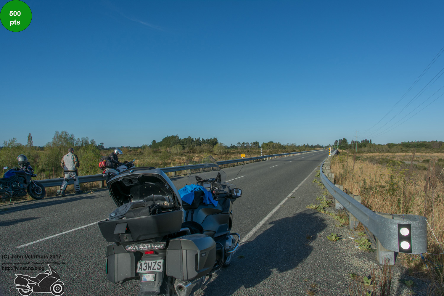
Next was the long drag to Loburn which meant another trip through Christchurch but now it was rush hour and the traffic was crawling. Lane splitting was the order of the day and nearly everyone gave me room to get through. Another fuel top off was done so that the final one of the day was not too expensive and I had cleared the traffic and arrived at Loburn 12 minutes behind. Poyntzs Road was next on the list and after taking the picture went into Darfield where I picked up the key to my hotel room and then headed for the final checkpoint of the day at Selwyn. Grabbed the photo and head back to Darfield to the hotel. The local fish and chip shop was packed so I ordered a meal at the hotel and sat and ate it with some cold black Russians to wash it down. Wen to bed at 9pm but the room was very warm and hard to sleep. Plan was to leave at 3am for day 2 but plans are made to be broken and I woke up just after midnight.

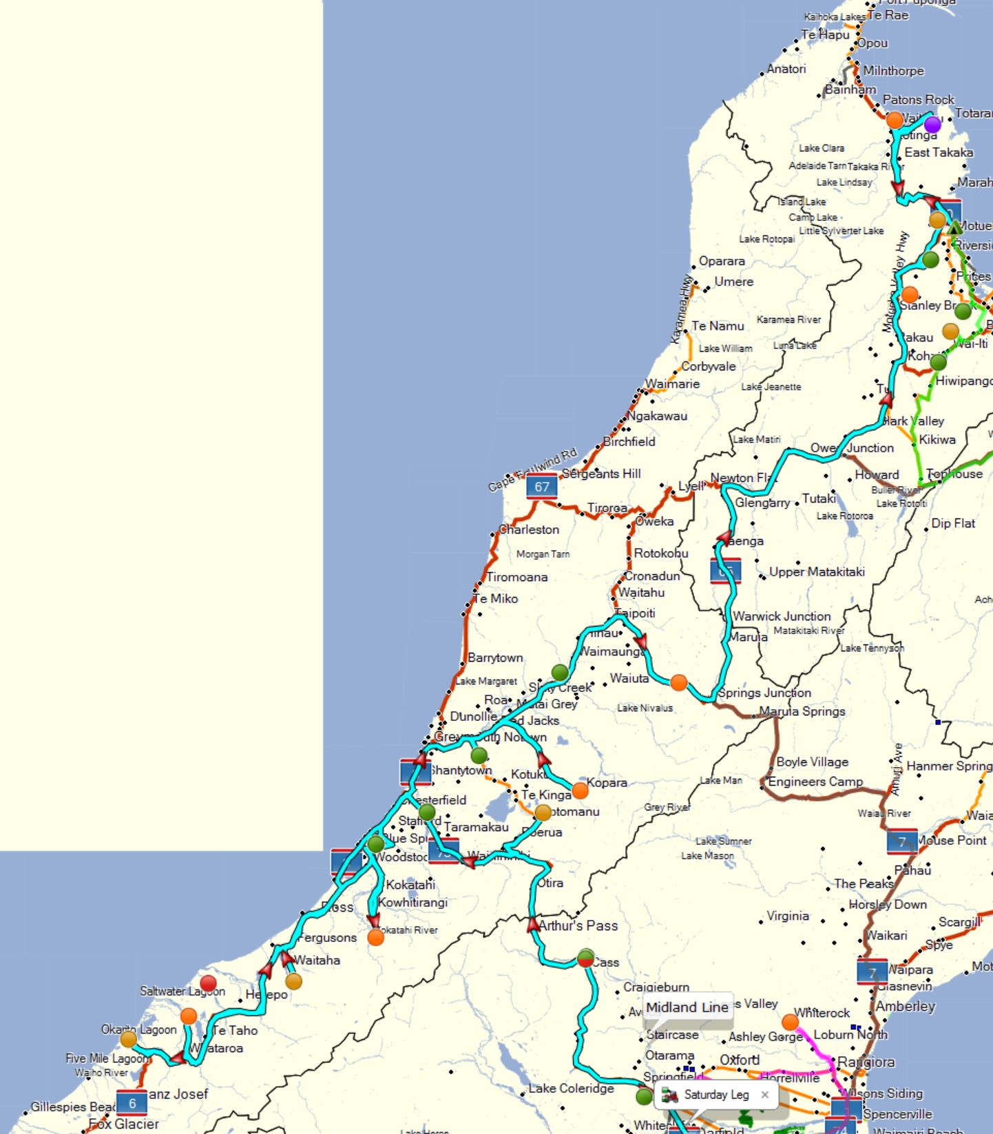
Day 2 – Saturday Leg and the Problems
This was to be my biggest day on the plan and after waking up at midnight sweating I decided I may as well start early. Put the gear back on the bike and was off at 0:30 with the GPS saying I would be at my final stop at 15:08. Liar! My plan was 18:59 to finish the day.
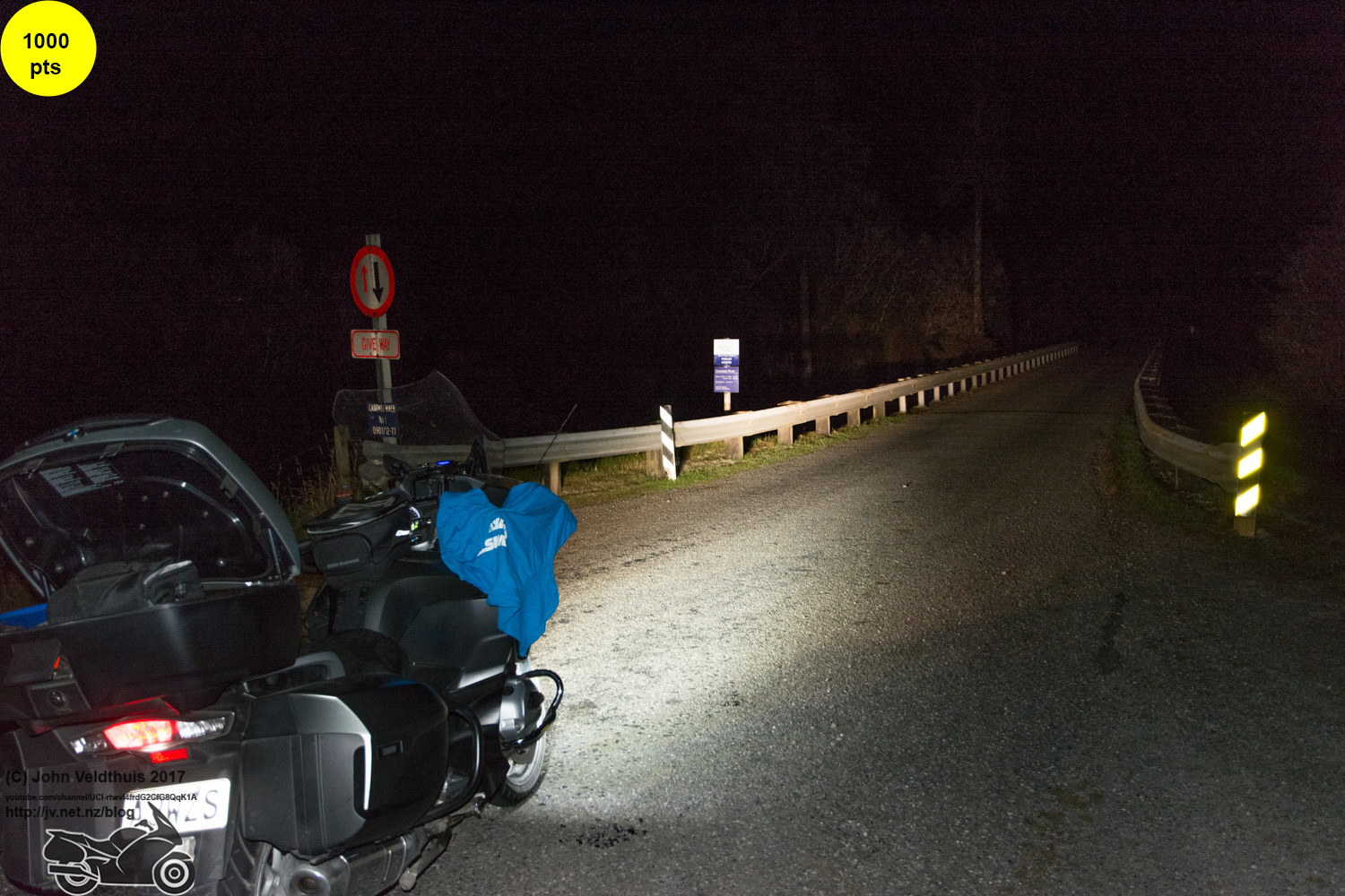
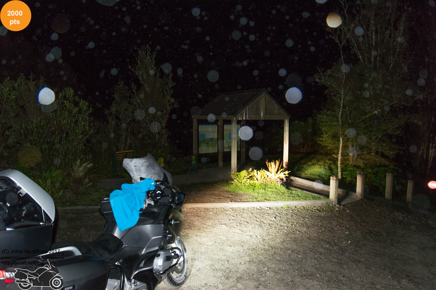
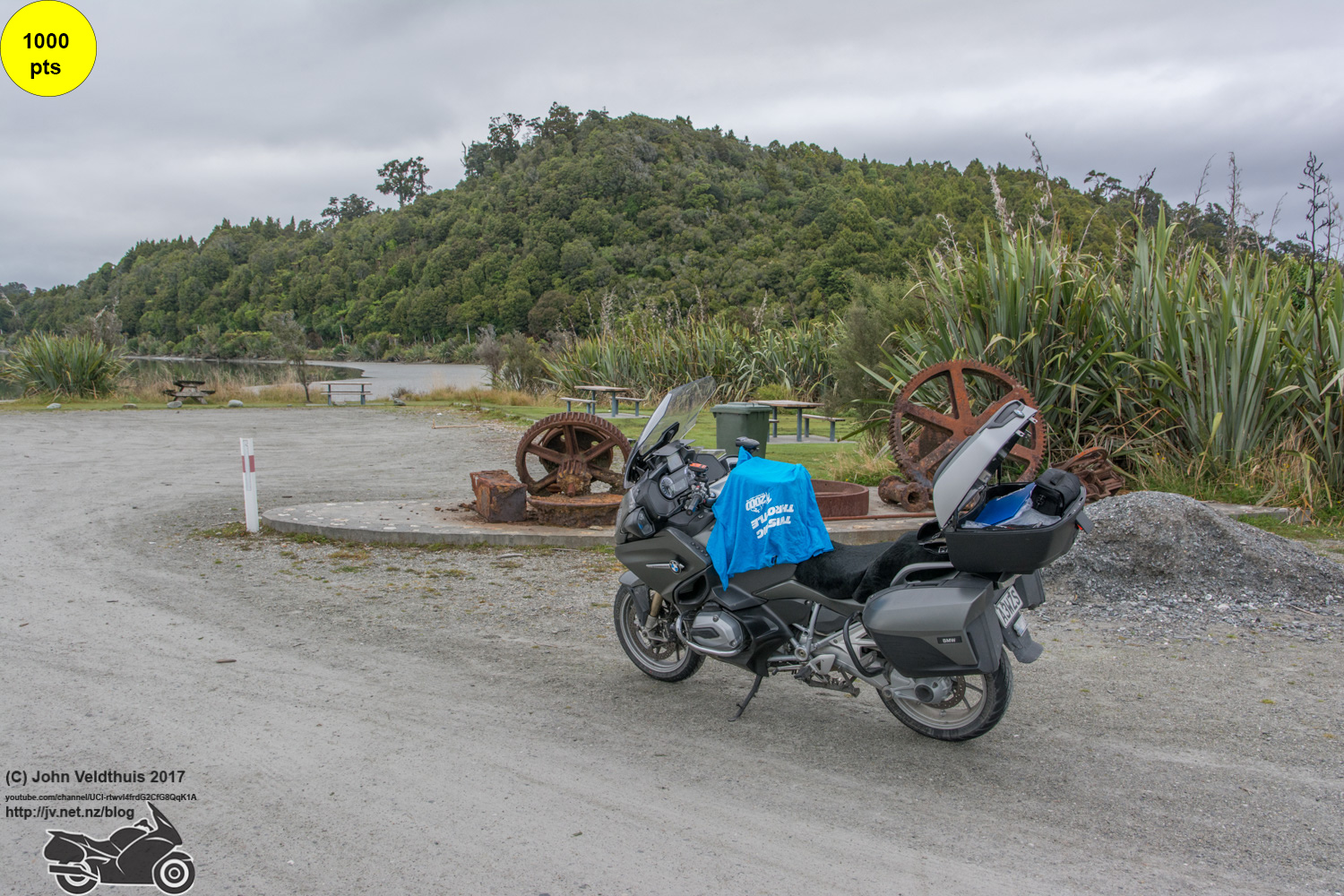
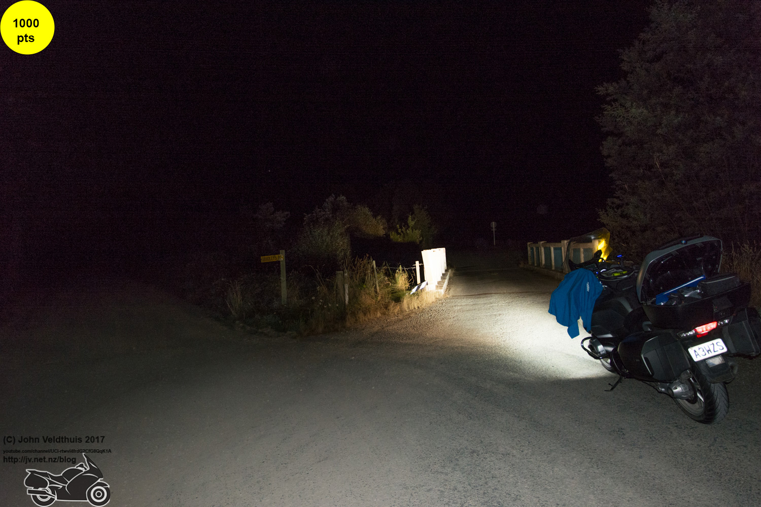
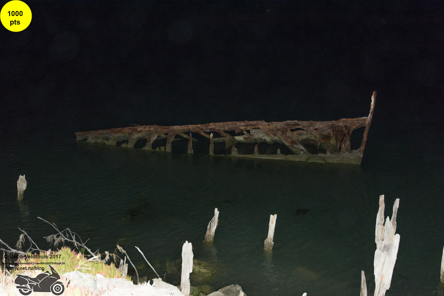
First stop was at Dalethorpe and just off the highway a short distance. Second stop was Mystery #2. I found this one using Google Maps and following the railway line till I found it. Took about 4 hours of searching and being off the road a distance is not one you would have found passing by. Another easy 5,000 points and I was one my way to Crooked. The weather was getting foggy and plenty of water streaming off the visor. Crooked was done and dusted so Taramaku was next on the list. Another 500 points down and Blue Spur was next and after that Hokitika Gorge but first a nip into Hokitika for a top up of fuel. However all the fuel stations here were closed. I went out to the gorge and saw a remote fuel with the pump lights on and pulled in. However someone had done a demo job on the card system so nothing here. The GPS was playing silly buggers again and was again trying to send me down gravel roads and some which could barely called roads. I managed to force it onto the correct road and found Hokitika Gorge. In my lights I could see something fine coming out of the sky and yip it was raining. Snapped the shot and went back to Hokitika with fingers crossed. Arrived at 5:15am and nothing open so I could either sit and wait until 6am or 7am when they opened or head to Greymouth and fill up. Needed the extra distance so 34km to Greymouth it was. When I got back through Hokitika at about 6:20am they were now open of course but I got those extra kilometres that I needed. See I knew I had a plan.
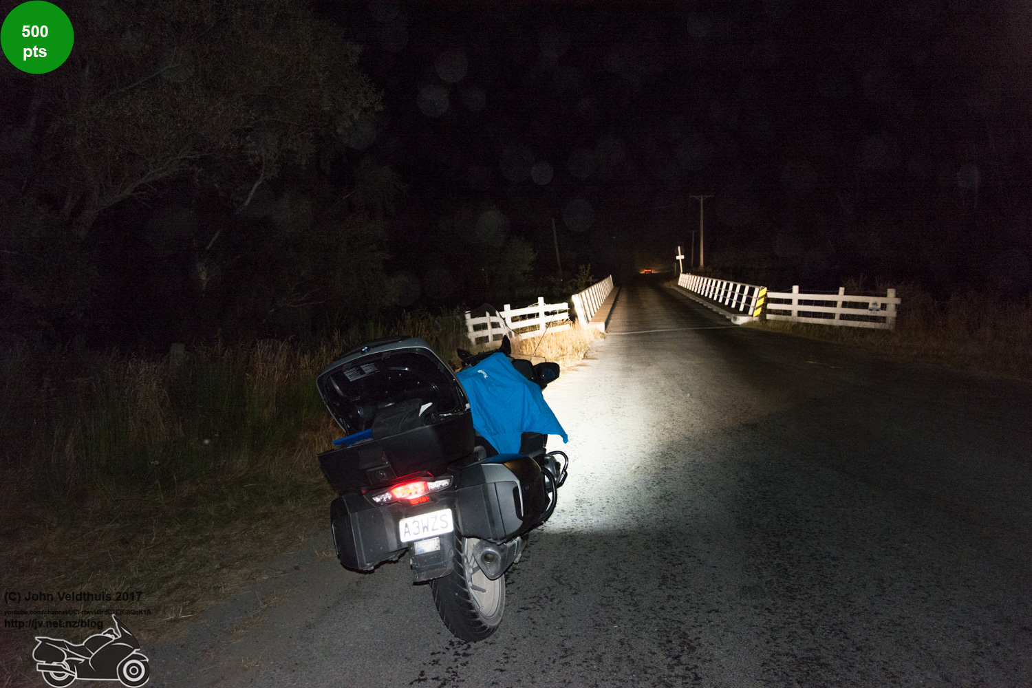

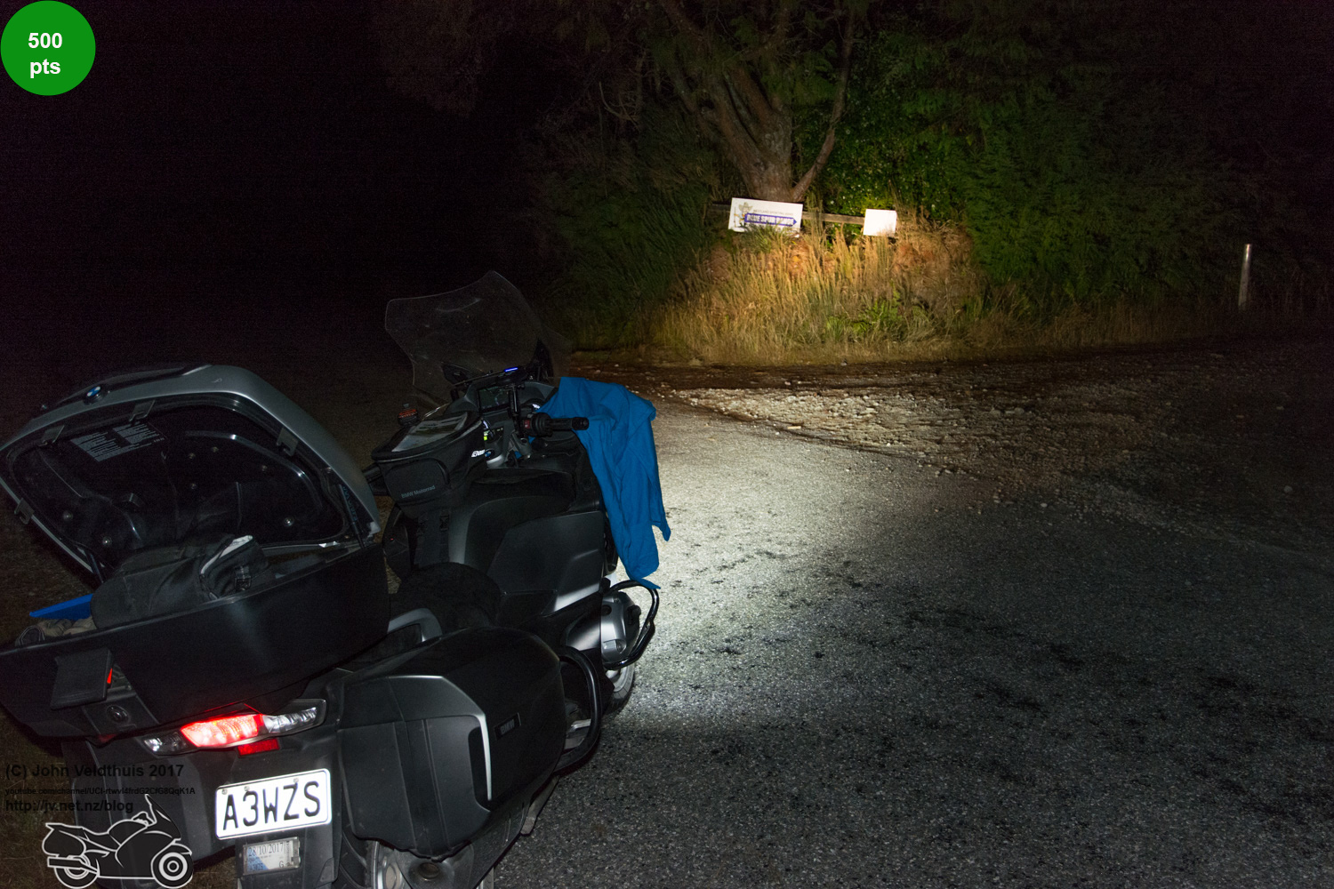
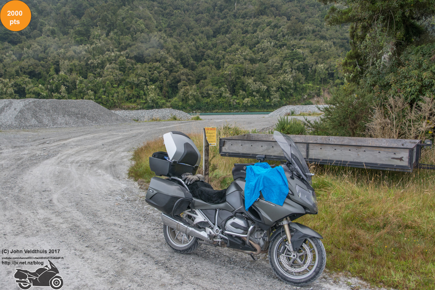
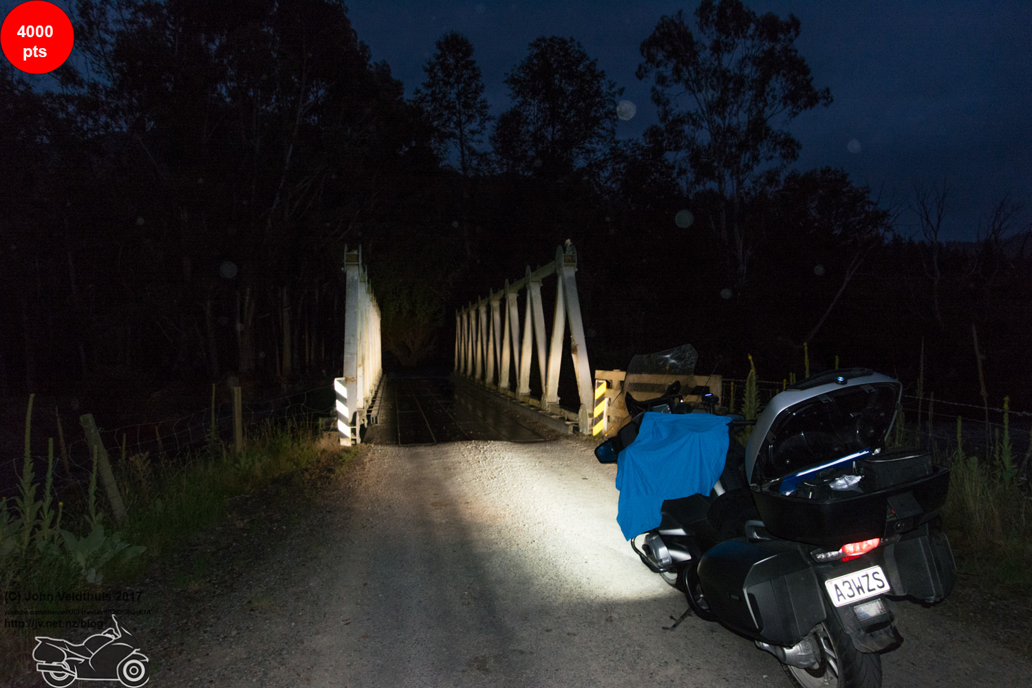
Next was down the west coast to Waitaha, Vickers Creek, and finally Okarito. It was 8:12am by this point and I had been desperately looking out for a place to eat but nothing was open. Got the photos and started the long haul back up the coast heading for Arnold and finally spotted an open café and stopped to refuel the body. It was extremely yummy on the tummy. 45 minutes later I was off and up the coast with water streaming off the visor still. It was not fog but it wasn’t really rain either. You could not see it but the roads were wet and heaps of water off the visor and windscreen. Greymouth arrived and I refilled at the Mobil shop where I get 20 cents off via my Fonterra employees card. Finally Arnold turned up and picture taken of the bridge. Started noticing there was a lot of bridges this year. Hung a right soon after and out to Haupiri and yep another bridge. Another bridge at Otututu and then onwards and upwards.


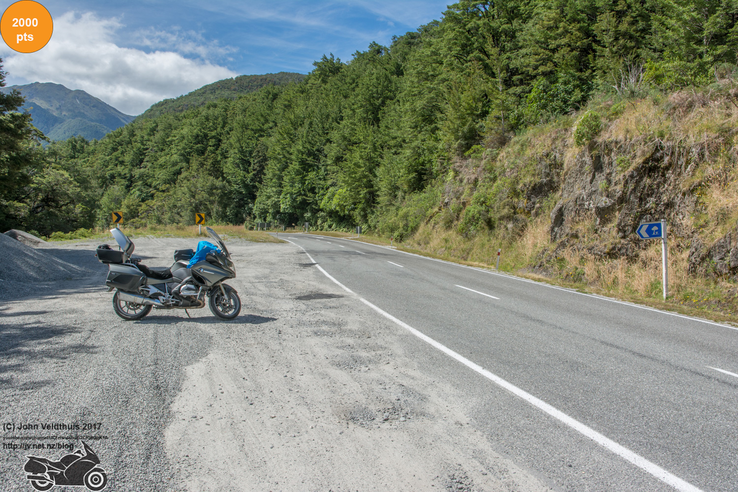
The weather cleared up just before lunchtime and was turning hot again. Next stop and Tobins Bridge was the name. Shock, Horror it was not a bridge but a rest area but it was near a bridge. Dovedale and Waiwhero were next and finally Little Sydney. Original plan said 16:23 to be here and I was there at 15:30 so looking good but the mistakes where not over yet.
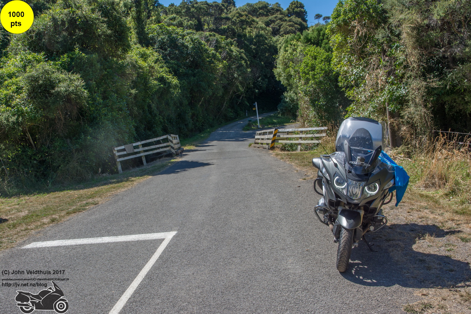
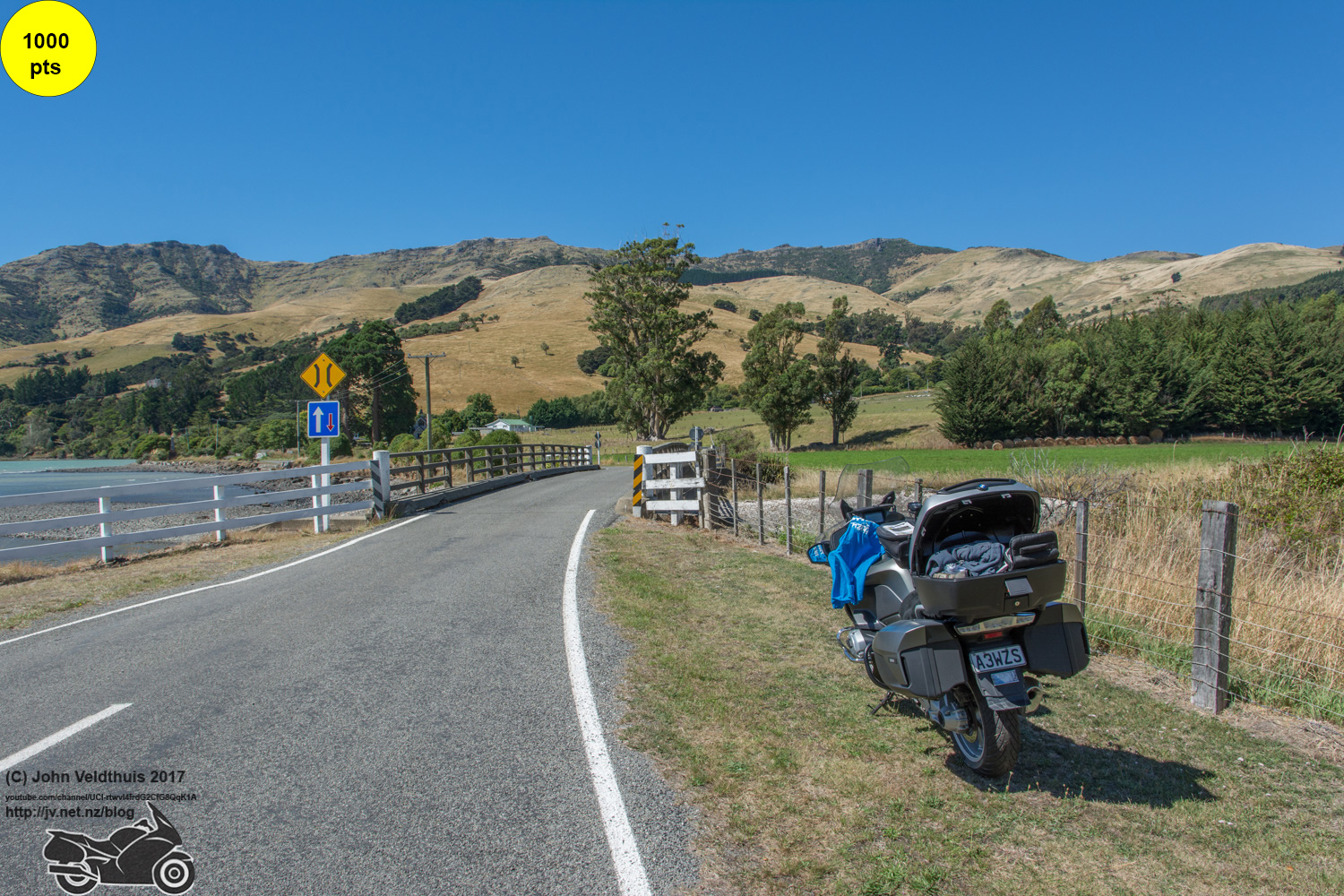
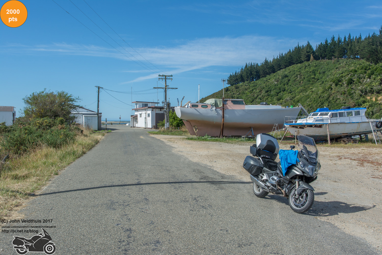
I looked at the photo book and saw one photo to go and that was over the Takaka hill. Before that however going through Motueka I tried to hit a button on my GPS and accidently cancelled the route. I stopped and thought only 1 to go so I punched in the destination and off I went. The hill was awesome as usual and Waitapu Wharf arrived and picture taken. Back up over the hill and I arrived at my stop for the night at Top 10 Holiday Park. For $94 I expected a nice room. It had a kitchen and everything you could ask for but there were no towels and toilets and showers were a 2 minute walk away.
So I got Maccers for tea and a couple of Black Russians to wash it down. After that I went through the days stuff to make sure I got everything and what the distance was. My plan said 346 for the Sunday leg and after a tally up I only needed 244 so my cunning plan to make up the extra worked even though I didn’t know the plan.
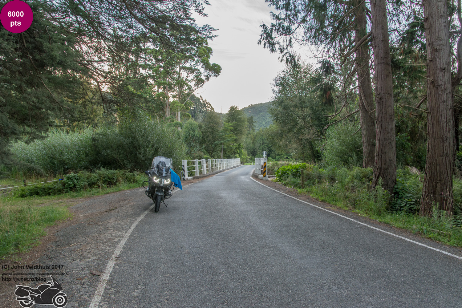
At this point I suddenly realised I was a checkpoint down. I had missed Wainui which was over the hill again. Checked the photo book and I had put it in the next days lot. Checked the route in the GPS and it was where it should be and would have taken me there if I had not cancelled the route. So it was back over the hill as I needed the 6,000 points. Finally got back to my base for the night at 8:50pm nearly 2 hours behind schedule after starting 3 hours early and an extra 158 kilometres for my trouble.
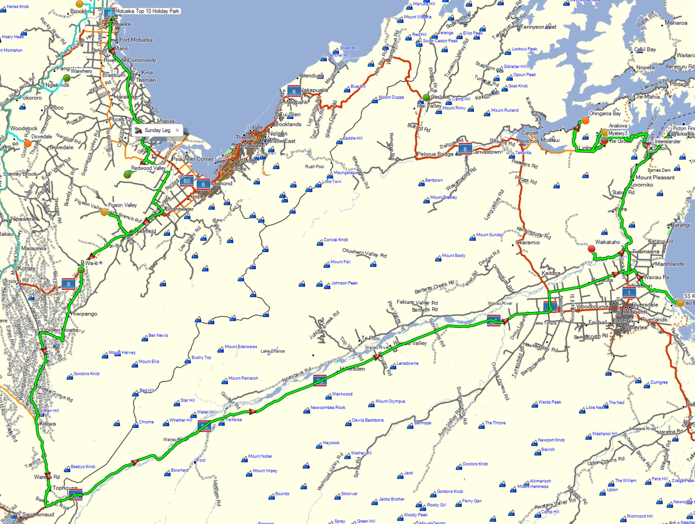
Day 3 – Sunday and more issues
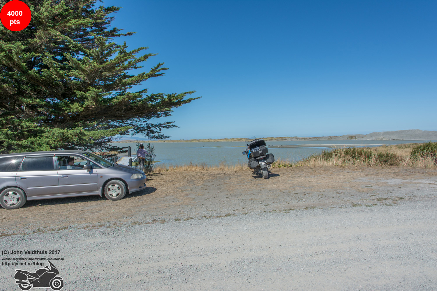
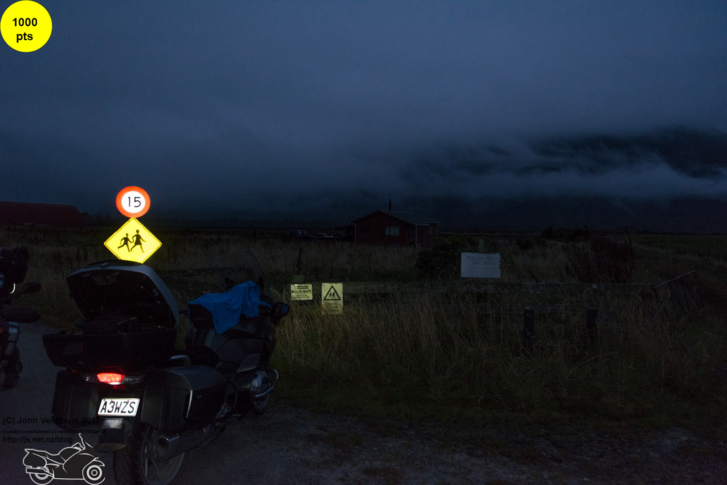
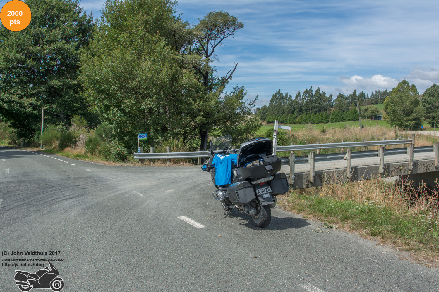
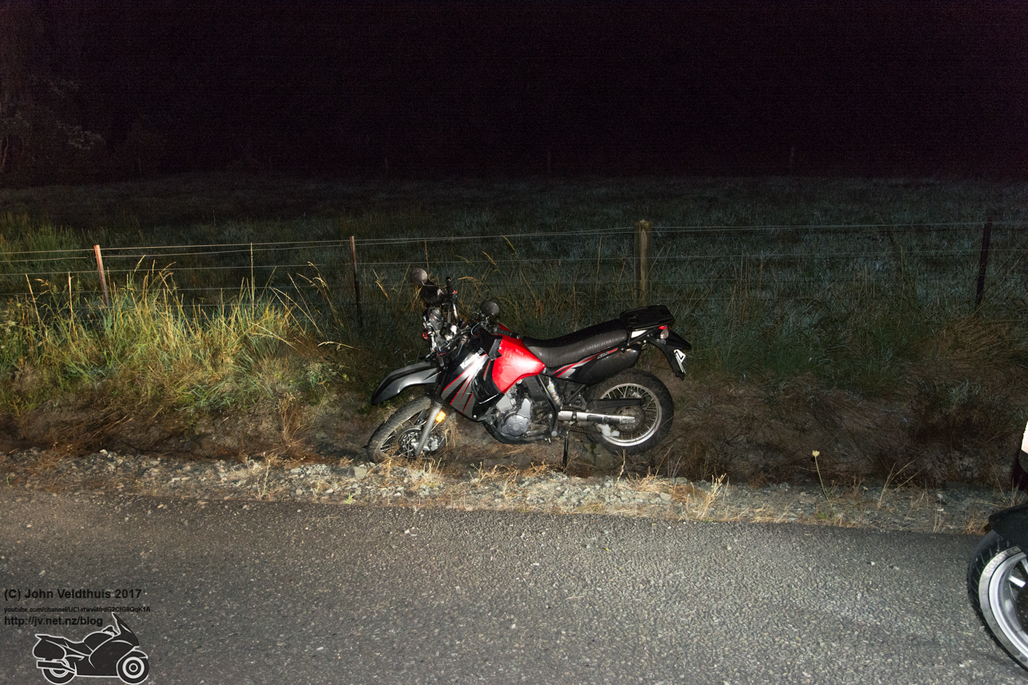
Planned to get away at 4:52 to be at the finish at 10am. Decided to leave at 3am and see if I could catch the early ferry home. Redwood Valley was the first stop of the morning and going up the road to the area I saw a bike which looked parked up and I thought someone had stopped off there for the night and was camping but I didn’t see a tent so decided to check it on the way back. Took the photo which was just up the road about a km and checked the bike on the way back. It was damaged with the spokes in the front wheel ripped out, a bit buckled, and some dash damage. No one around and no obvious signs of what was hit but it did not look good. Hoped that the person was okay as the landing area was very rocky. Pigeon Valley was next and after that was Wai-iti. After Wai-iti my GPS said to continue down the road and I said to it I was wasn’t falling for that trick again and carried on down SH6 thinking I needed to go down all the way. The recalculation added 15 minutes and again had me turning off. At the turn I stopped and dragged my big A3 map out and the GPS was actually right so I followed it down to St Arnaud and the long haul along SH63 to Blenheim area. The weather at this point went back to the same it was the day before. The stars had gone and water streaming off the visor. Got to SS Kennedy checkpoint and took the photo and the went to Waikakaho checkpoint.

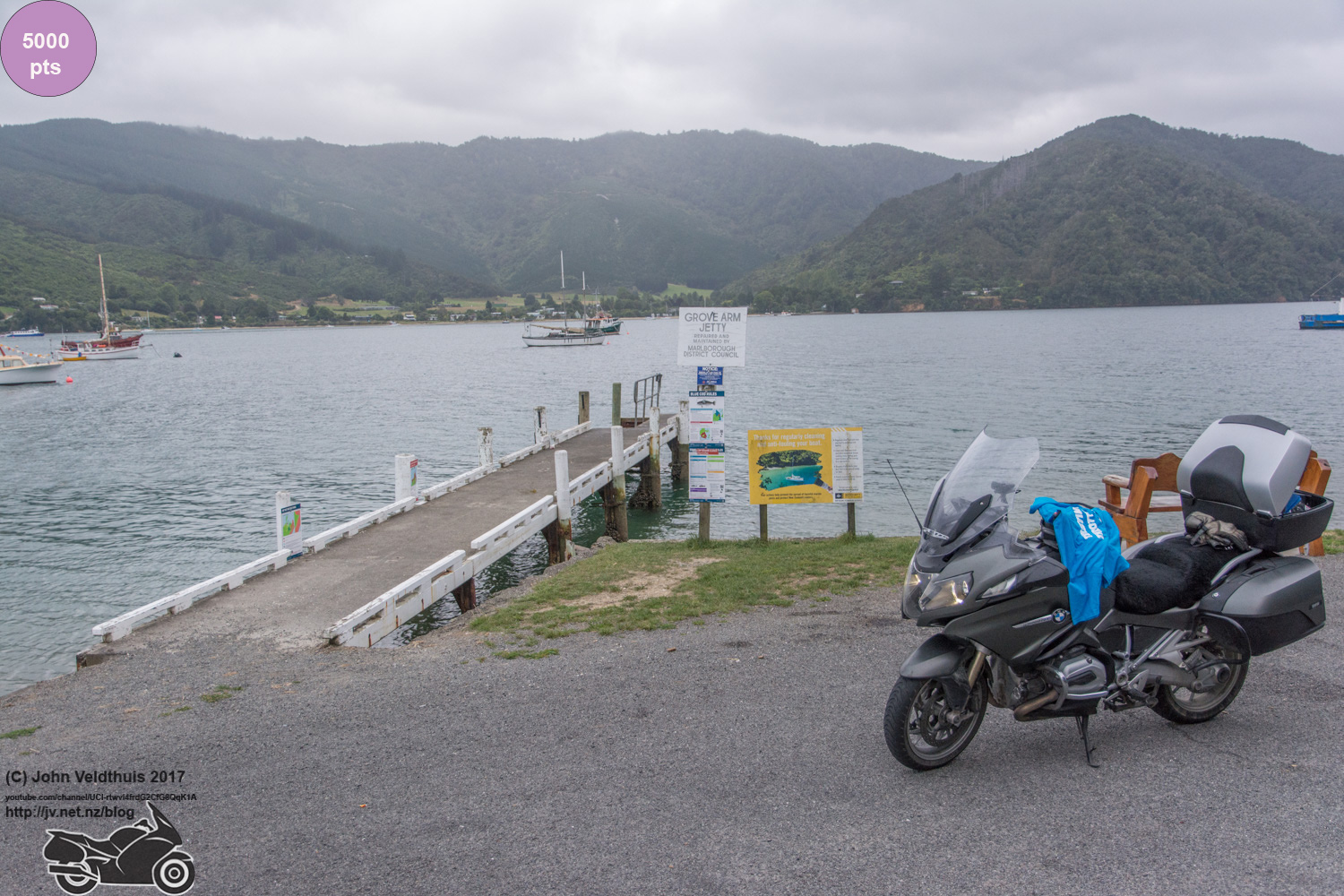
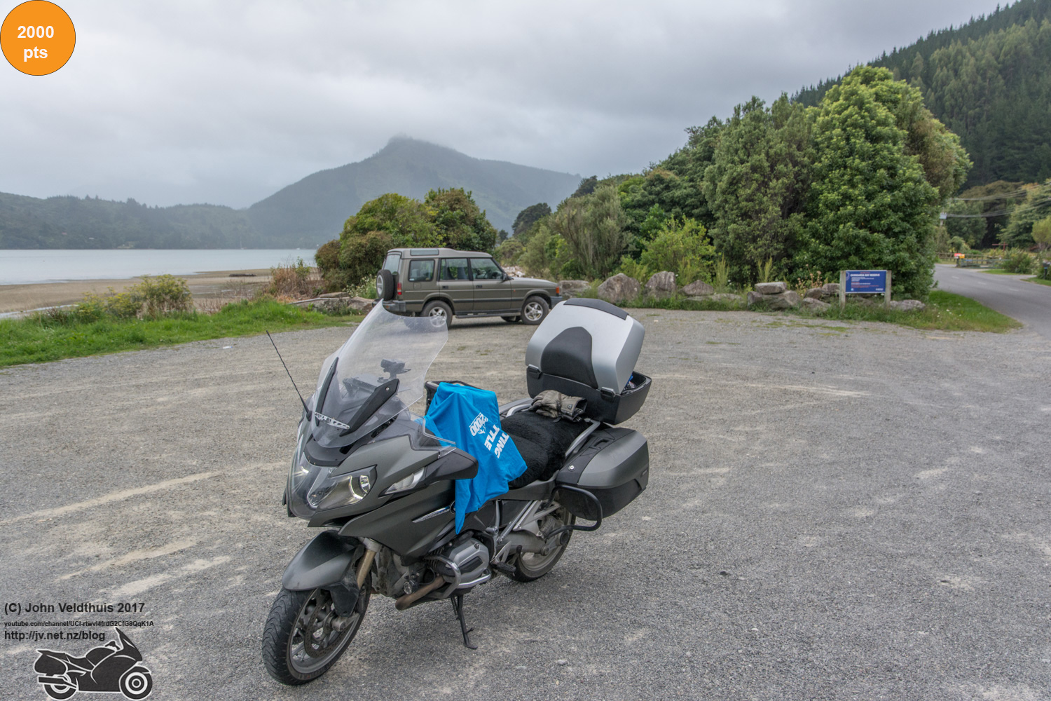
Mystery #3 was next and another found via Google Maps checking the bays till I found it. The drive along Queen Charlotte sound road was not bad but roads where wet. The photo grabbed and onto Ohingaroa further along the bays to grab the photo. There was one last photo to grab at Anakiwa but it was only 1,000 points and a fair way out looking at the map. I had enough points and thanks to the big hill had more than even kilometres I decided to give it a miss and head for the finsh.

Arrived that the finish at 8:15am and of course no one there. Went back into town for breakfast and after that headed back out to wait. I checked with Interislander to see if I could catch the earlier ferry and they said yes as long as I checked in before 9:45am. A quick ring to the TT hotline said I could upload my stuff and I was on the ferry and away.
It should have been a nice ride home but traffic was terrible after the motorway to the new Pekapeka expressway. A huge amount of filtering just to keep above 20kph and the traffic not so nice here with quite a few actively trying to block me. Finally came up on Levin with about 2 litres of fuel left and filled it up. The road was not bad from here even with the Ohakea event on. After Bulls a short way another bike warned me a cop up ahead. I checked my speed and GPS said 106 and speedo 108. He was on the side of the road and as I went past he pulled out and did a U-turn and quickly powered up behind me and turned his radar on. I expected him to put his lights on so I clicked the cruise control back one notch down to 104. He followed me for a while and then the car in front of me braked heavily for a bike that pulled out of the road in front of her. As we got back up to speed I passed her and then after a while the two bikes and warned them what was behind us. I had the radar detector going off the whole time. After Turakina I passed a truck and then a car going up the passing lane and put it back on cruise control but making sure never to exceed 110kph.
Then just as I got to the bottom of the hill I saw the red and blue lights and I pulled over to let him pass me but he wanted me. I pulled over when safe and switched off. He came up and said that I was going fast and that he clocked me at 123kph. I asked him where he did that and he mumbled something I did not catch. He asked me my details and wrote them down and then asked for my license which I gave him. He walked back to his car and I got off and followed him and asked him to show me because I still did not believe it. There was 123 on his locked readout. He said he thought I had made him and knew he was there and I said I did so why the hell would I speed. I also told him my GPS never went over 106 and he said he didn’t want to hear about the GPS because they are not accurate. Guess he doesn’t understand what they are and what they are used for! He said I wasn’t doing anything dangerous just going a bit fast. He told me to slow down in future and sent me on my way.
So he supposedly has me locked at 123kph and doesn’t give me a ticket. I checked when I got home my GPS logs and there is not one time in the whole time he was following me I went over 108 so what I am thinking is that he had just pulled over someone who had been doing 123 and gave them a ticket. He had just finished when I came along and he left the locked 123 in the window hoping I would speed but because of the cruise control I had a constant speed and while speeding it was only 4 or 6kph over. If he pulled me over and said I was borderline and just to have a word with me about it I would have had no issue but to outright lie to me about what was locked in there. I am almost tempted to make a complaint about it.
Anyway it put a crappy end to an otherwise good 2017 TT2000. Little too much gravel for my liking on my road bike but no issues this time. I have had 5 of my 6 punctures happen on gravel. Bike is a complete mess and will need a good cleaning.
Thanks heaps to the organisers whom again put on an excellent event. The earthquake threw a few plans in the bin as did the fires but nothing that made a mess of the ride.
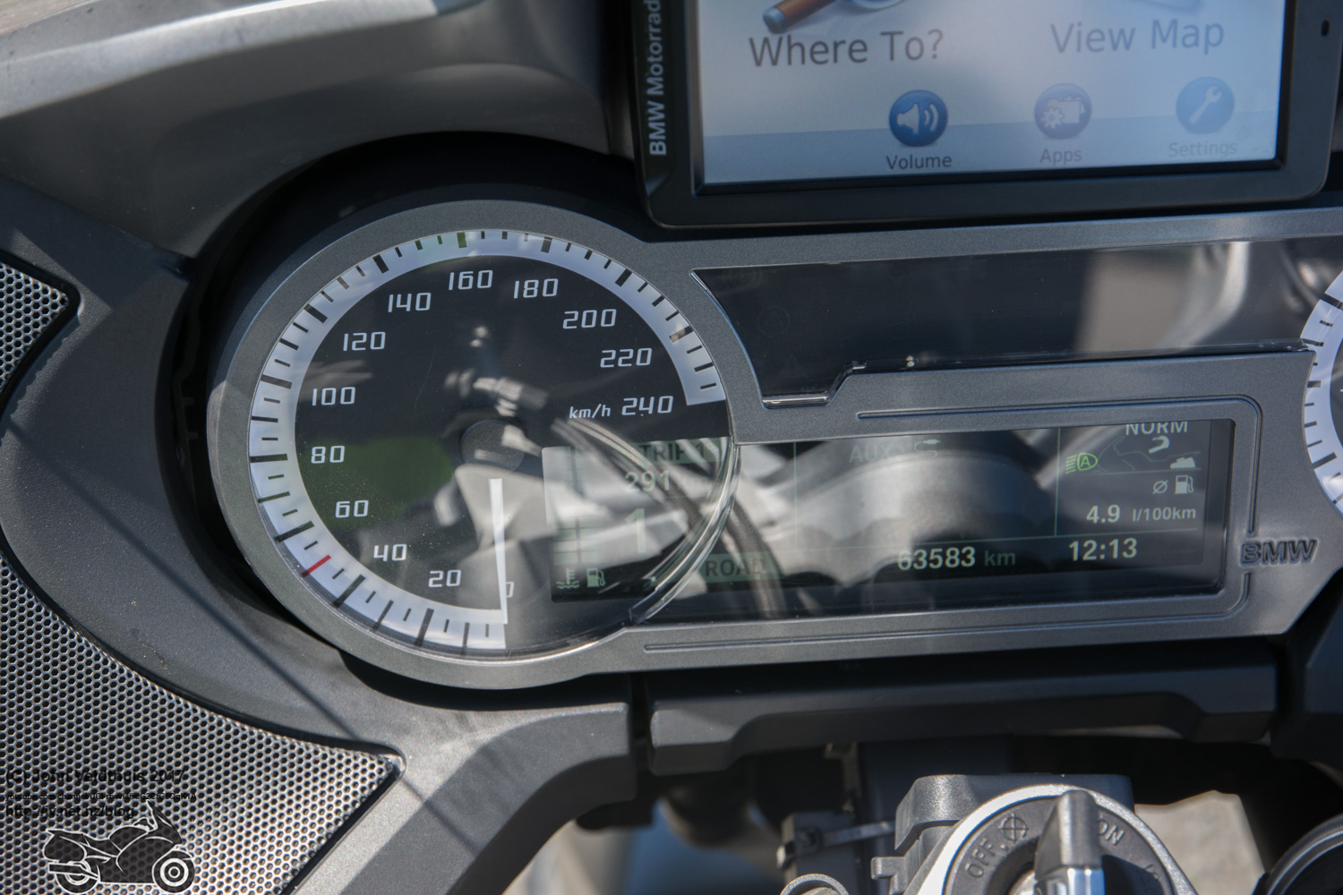
Total distance ridden was 3,328 kilometers and a spot track of my trip is here