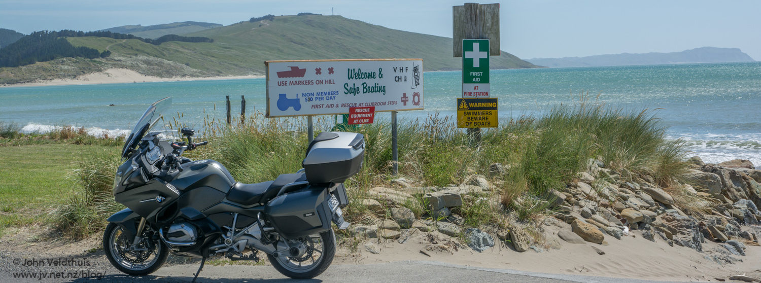
This NI800 may be my last long-distance ride! I have gotten a bit of arthritis in both my shoulders and they get quite sore. I cannot take anti inflammatory drugs due to my very low kidney function, so I am left with just pain killers. After this ride I could barely get off the bike and get it in the shed. 2 x paracetamol and 2 x codeine did little to help. The other factor was my starting position. I put my booking in on the first few days of the site opening and yet I managed to be allocated one of the last 5 away. I put my booking in early to get away in the first 1 or 3 groups. Not sure what method is used to decide the order but in my books, it should be by booking. A couple of others were also discussing this.
Anyway on to the ride.
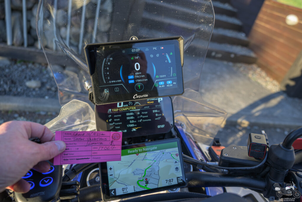
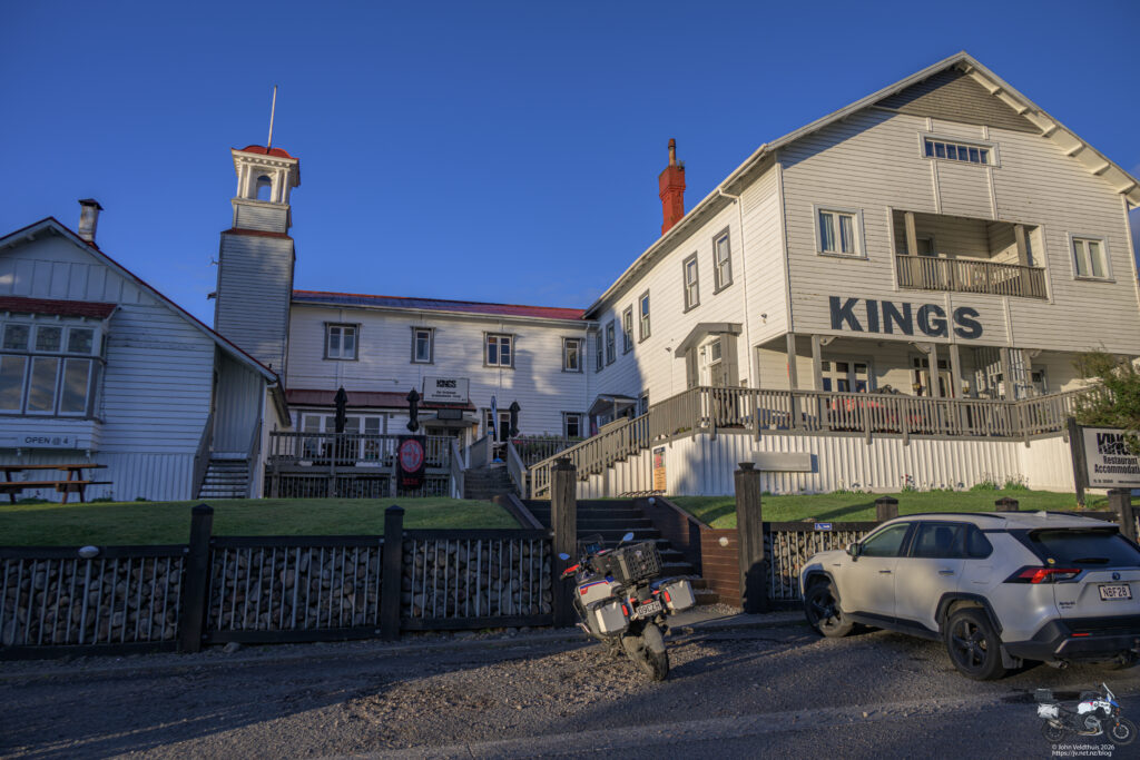
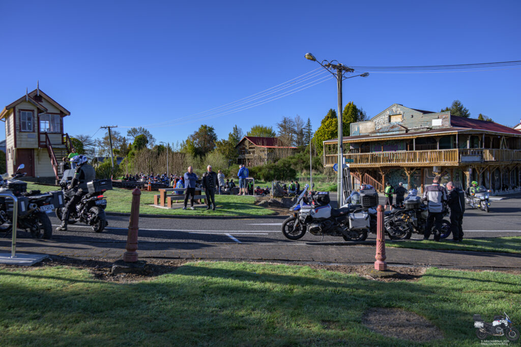
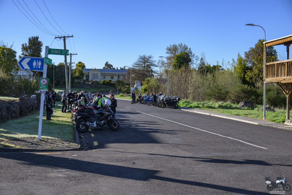
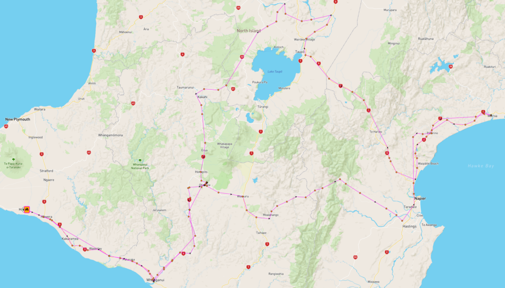
Time for the North Island 800km ride so it was time to update the GPS maps and speed camera data. Also check the bike over as it has been sitting in the shed on the battery tender for quite some time due to the Trump inspired fuel prices and I spent a lot of money installing a 8.8kW solar + 28kWh battery system to the house and purchased a PHEV RAV4 to use the free power and the 100km battery then hybrid.
I put it on the tender as I have found the Lithium Iron battery is not as good as the lead/acid battery at holding its charge while the bike is in the shed. There is always a small draw, and the LiFePO4 battery seems less capable. I know this because the last time I did this my bike would not start. It would crank but just not fast enough to fire. Also check tire pressures as they of course lose pressure over time.
All was good and then just wait for the route to program in basecamp and send to the GPS for the ride. A check on the weather a week out was saying showers in most areas. Typical NI800 riding weather.
Friday night and email arrives with the route details. Have this worked out and downloaded the track, waypoints, and info. Track and waypoints into Basecamp and route generated with one via point to get it to match the track. Next export this data and email the gpx files to myself. Open the gpx file on my iPhone, and send the data to Tread and let it sync to my XT2. Who said that Basecamp was not compatible with the XT2.
Saturday morning and out of bed at 3:30am for a quick breakfast and finish loading the bike. Then it was off to Wanganui to fill the tank with fuel. Arrived in Ohakune at 7am to register and get the bike checked and then wait for the start. As I said, not impressed with being last off the rank.
Weather was perfect as I left the start at 9:27am heading for the Gentle Annie with the GPS saying I would be back by 19:55. Weather was not that great over the Annie with showers coming through and low cloud and quite windy. The rain was not enough for me to stop and put the rain jacket on though.
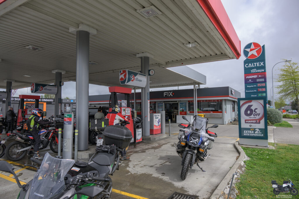
The first photo stop was Caltex at Omahu
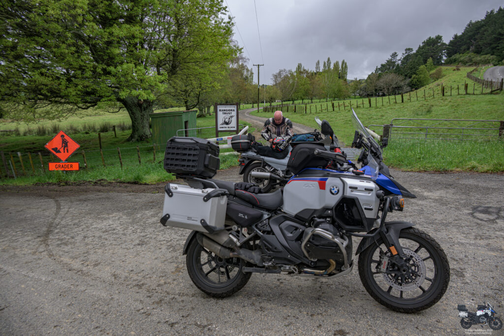
Second stop was at the Rangiora Trust sign and as usual the traffic around Napier was awful. Weather was still hit and miss at this point so was thinking to put my rain jacket on at the next stop.
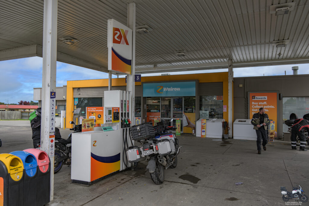
Next stop was Z Wairoa and I filled up the bike, put my rain jacket on, and got back under way. With the rain jacket on I knew it would not rain any more. As I pulled out my GPS said to do a u-turn and thinking it had not registered the last waypoint I pulled over and told it to skip that waypoint and it was back on track. A little bit later realised that it was now telling me I would be back at 18:45. I had been pulling time back, so it did not really sink in. I had the route and the track displayed just in case.
Boring ride over SH5 to Taupo and checked on my tank distance remaining. Had enough to finish the ride but not enough to get home so filled up in Taupo, slightly off the track. Got back on track and at the last round about my GPS said straight on and as I went straight on, saw that the track was up towards Rotorua. Turned and headed back and waited for the GPS to recalculate but it kept telling me u-turn. I then realised my mistake, cancelled the route and restarted it to the right checkpoint. Now telling me back at 19:00
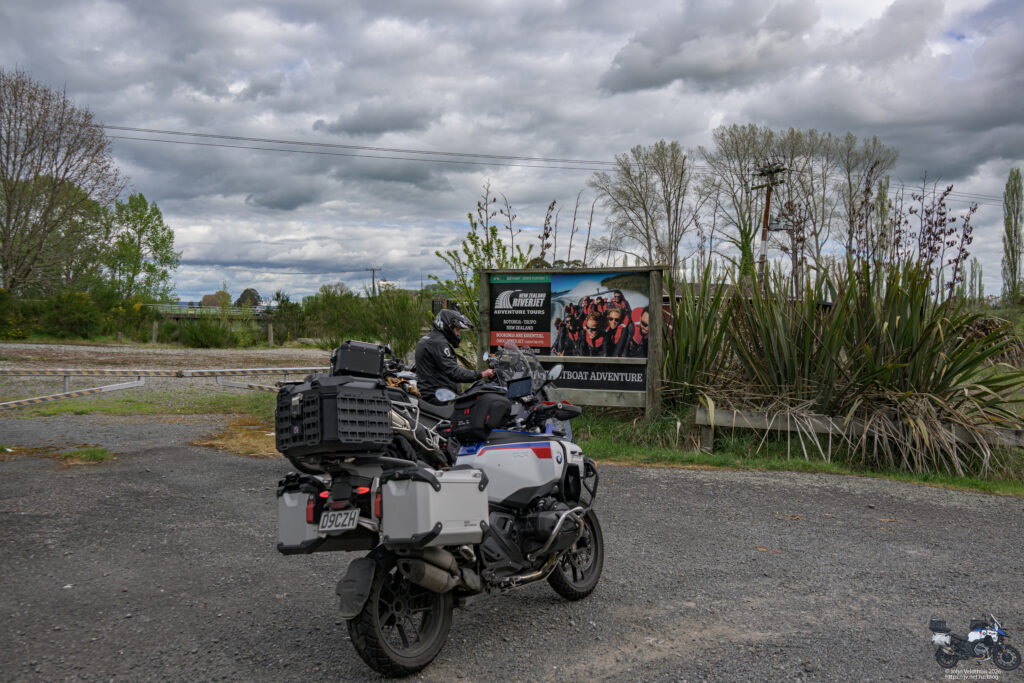
Checkpoint was the Jetboat Adventures sign and again I missed a turn as my GPS had stopped talking to me through the helmet. Found out later that this was probably caused by turning on the mesh comms accidentally. Saw it quickly and whipped a u-turn to see two others stopped at the intersection. I turned into it and quickly saw why as the road was blocked with big orange barriers saying private road. I took the option that the GPS gave me and was quickly back on track and photo taken.
Decided to reset the helmet by turning it off and on at this point and masses to turn by turn data that I had missed started coming through. After 4 mins it stopped but was not caught up so I recycled it again and soon was up to date.
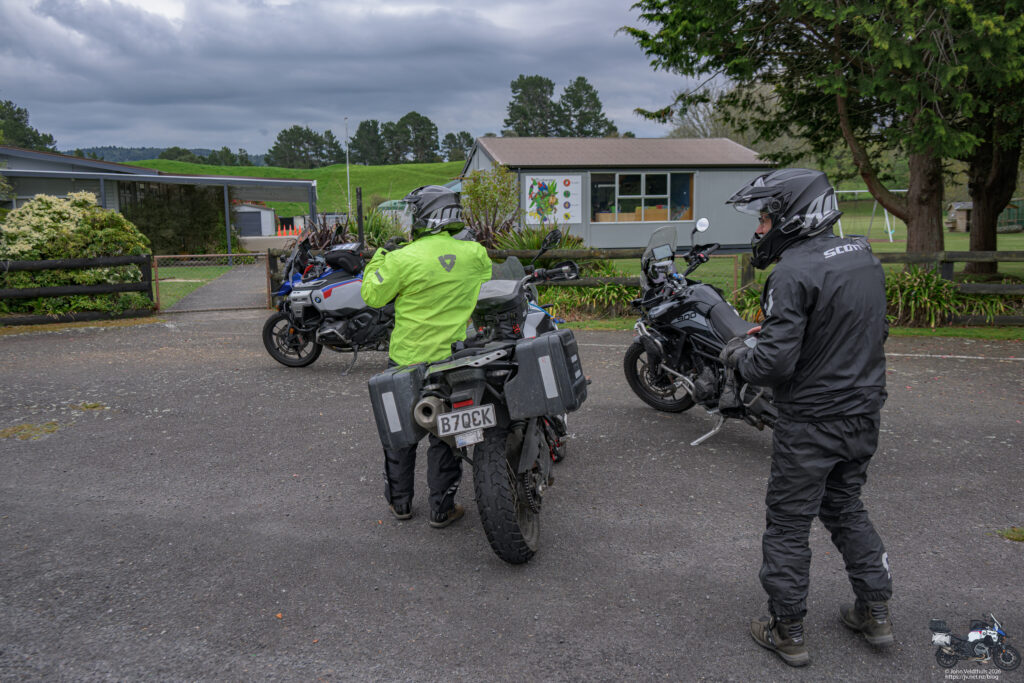
Another 52km and it was a photo of the Tirohanga School sign. As I took my photo a couple of guys came from the other direction. Seems they missed seeing the sign.
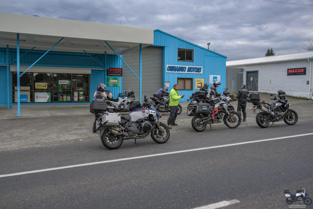
At this point I tagged onto the back of a fast moving group and it was not long before I was taking my last checkpoint photo of Owhango Motors.
59kms later I was back at Ohakune stopping at 18:24. Took my speedo photo and too my stuff in to be checked. All good so zapped myself with some insulin and sat down to a very nice burger, chips, and coke before heading off down the Paraparas to Wanganui to fill up again, then arrive home at 21:33
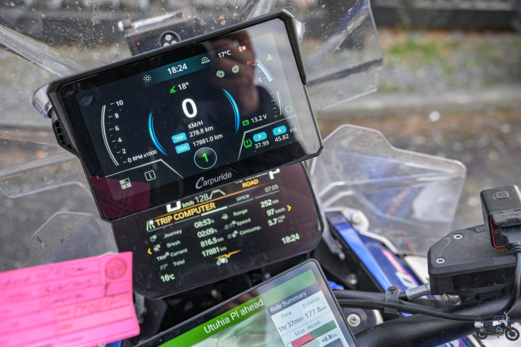
Some trip info from the ride.
Distance Travelled – 816.5km
Average Speed – 97kph
Average Fuel Consumption – 5.7 l/100km
Trip Time – 8 hours 53 minutes.
Max Lean Angle Left/Right – 42.3/40.5 degrees
Fuel Usage – 46 litres or 1.5 Tanks.