It is time for the NI800 again and a few housekeeping bits to be done before hand. First was to update the GPS with the latest maps (big error here). I noticed on my car GPS that the speed limits no longer displayed but didn’t really need them. Got the route on the Friday night just after 7pm and entered into Basecamp. Then added a few shaping points to get it to follow the intended route. Zapped it into the GPS and thought I was set. Other things to be done were to charge up all the batteries for things such as cameras and load the bike ready for a 5am trek to Ohakune.
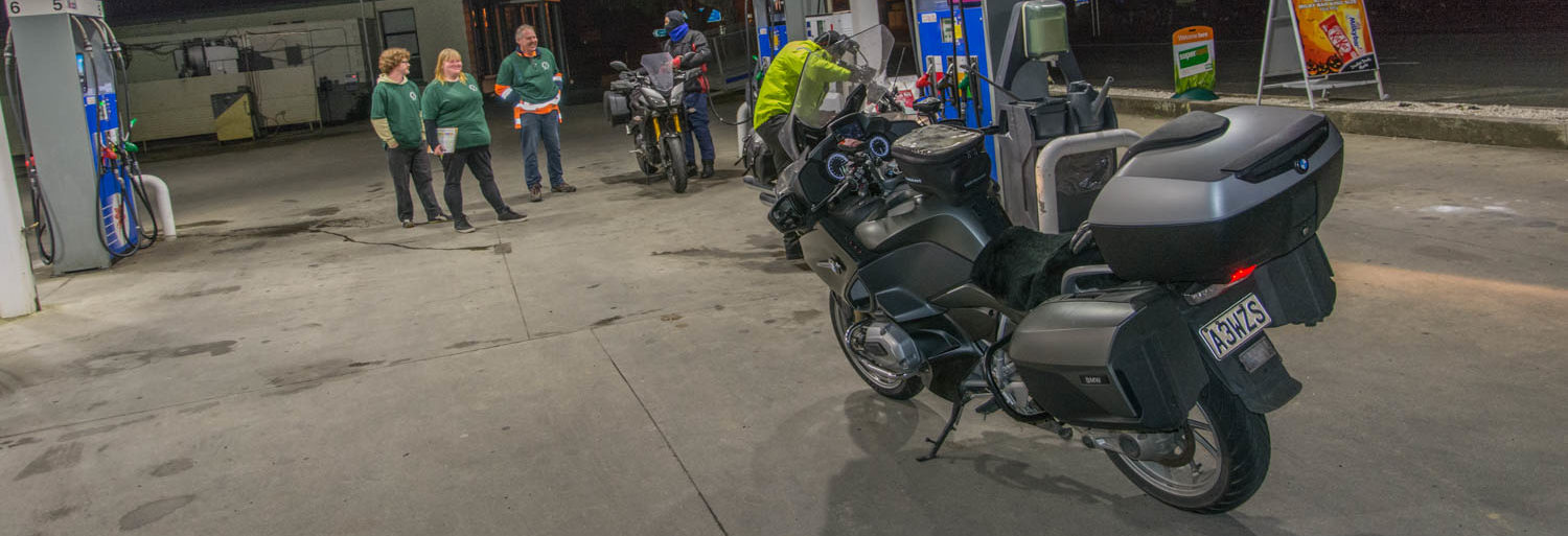
Had breakfast and was ready to go at 4:30am so left early. It was bloody cold. I told the GPS to go to the start and did not really take any notice that it was not giving me distances to the turns. It did that sometimes. By the time I hit Wanganui I was cold enough and stopped to put on the heated jacket. The handlebar heaters and seat heater were just not doing it. Noticed I had not turned spot on either. Temperatures got to -3 through the Paraparas. Arrived at the start and got my card and scrutineered and waited for the start at 10am.
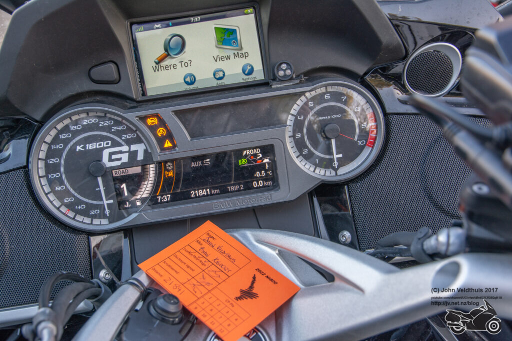
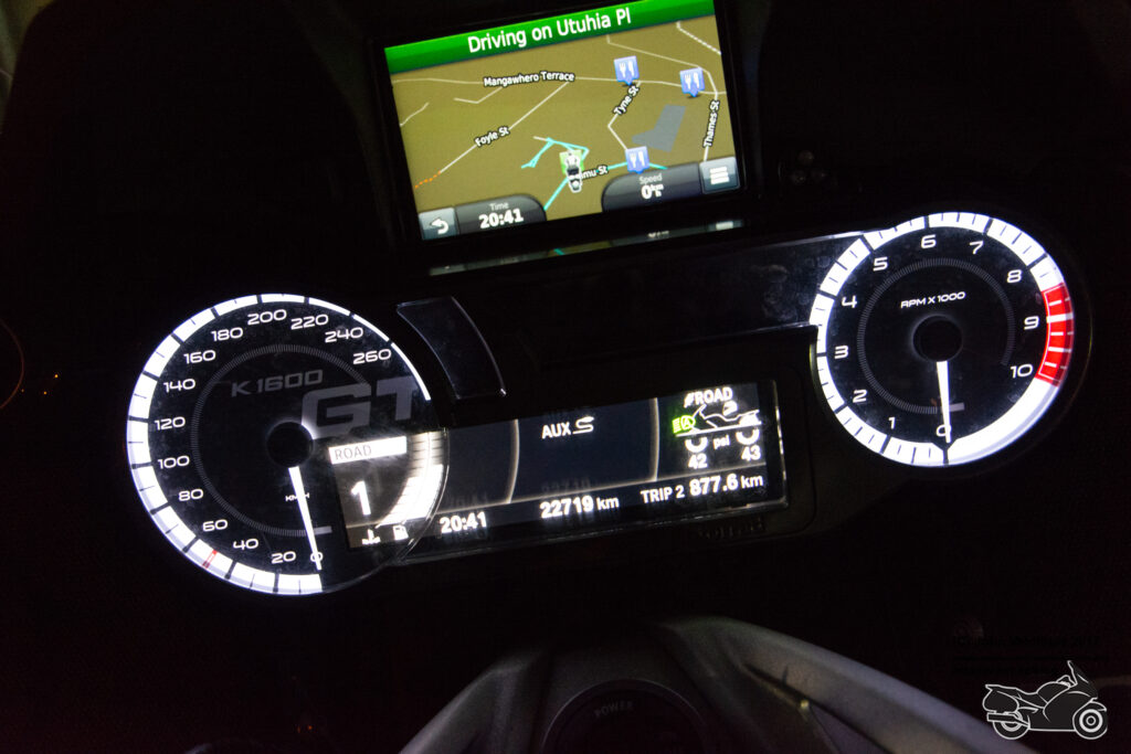
10am came and as usual they started us in groups of ten. GPS was saying arrive back at 20:40 which I thought was late. I was in the first group and front of it so got a quick getaway. Plugged in the trip to the GPS and again it was not telling me of the distances to turns. GoPro camera was on and hooked to my portable battery for the timelapse.
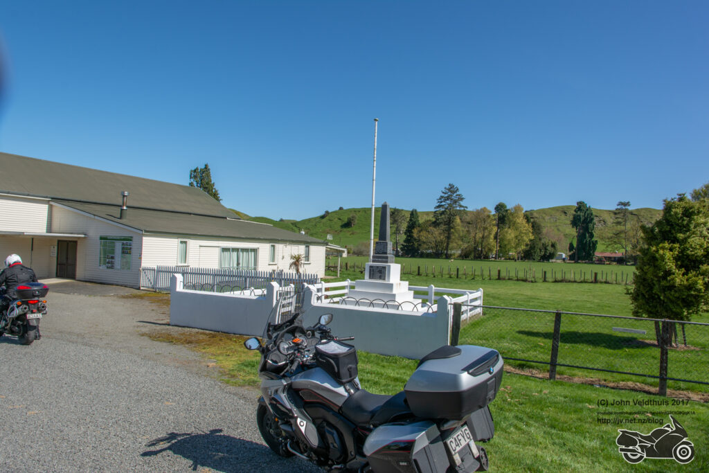
First checkpoint was of the Rangiwhia memorial and I cruised the 99km at about 110kph. Arrived and took the required photo.
Next off to checkpoint 2. This was a further 126km away and required a ride over the saddle, down SH2 and then a left and a right. Still the GPS was not alerting me and I missed the right hand turn onto Mangamarama road. The GPS must have recalculated while I was not looking and carried me on to Pori road 26km further up. This was gravel so knew I was in trouble. Tried a couple of different things and then the GPS told me I had to go back. I saw about 6 adventure riders so thought I was still on the right track but then a Goldwing rider came and we decided we had to go back. That had wasted about 60km of travel and about 45 minutes of time.
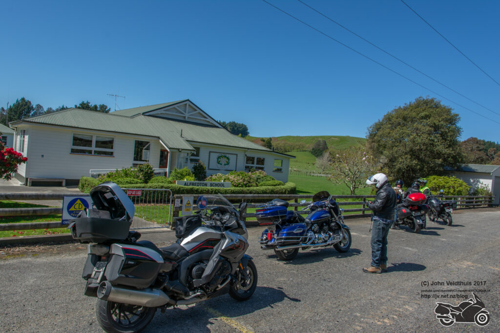
Anyway finally back on track and arrived at Alfredtown School to take the photo. Speed had crept up a little at that point.
Continued down Route 52 and it is in much better condition that many state highways. I had also turned off the Garmin maps totally in the GPS and now had proper directions turn by turn again. I needed the fuel at Masterton due to the extra travel so turned right into town and filled up on 91. Supposed to use 95 but they only had 98 at a rip off price and the bike runs well on 91 just can’t always run it on it.
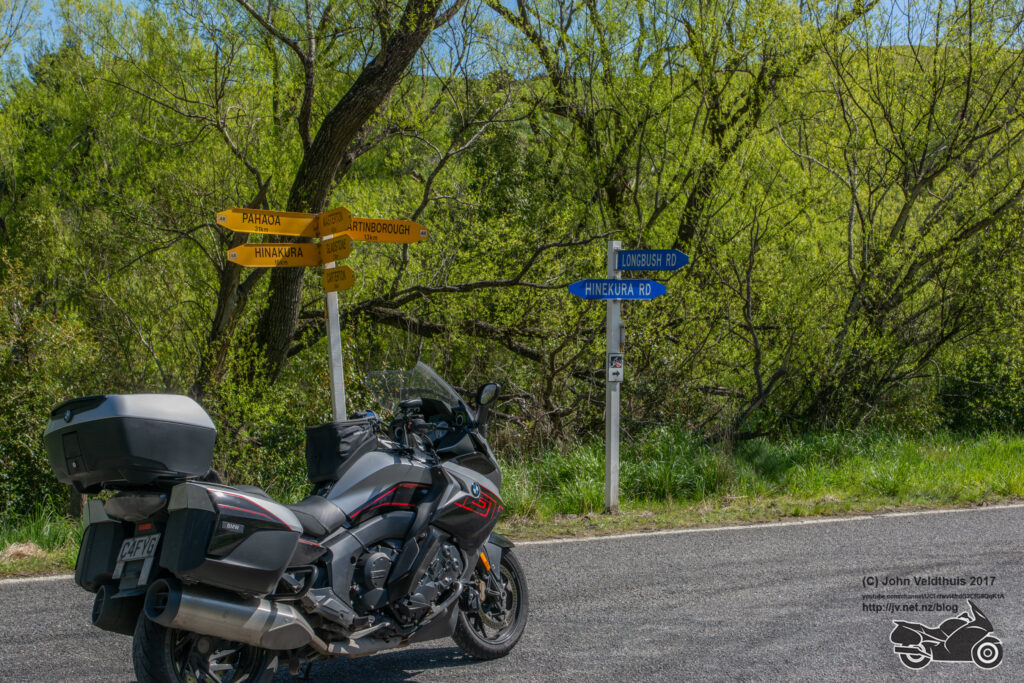
A further 83km and a photo in front of the road sign and checkpoint 3 was done.
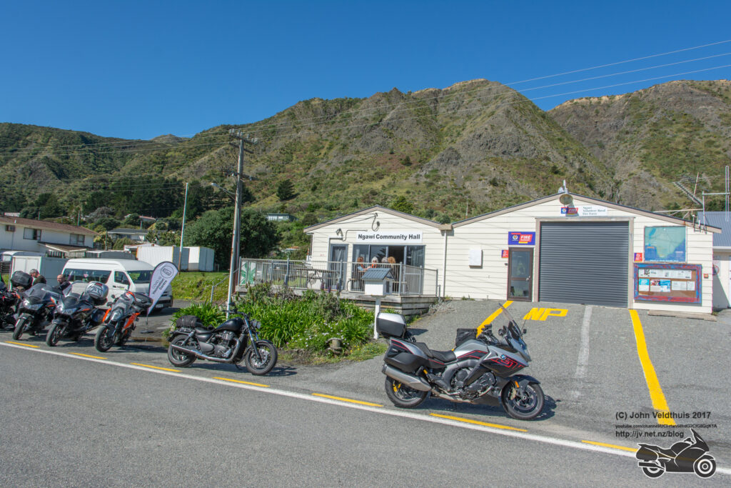
Next checkpoint was at Ngawi 74km away down at Cape Palliser. Man, the roads were literally eaten away by the sea in places. Saw many riders coming back along this road. Quick stop for a photo, some E2 drink and ½ a moro bar and I was away again.
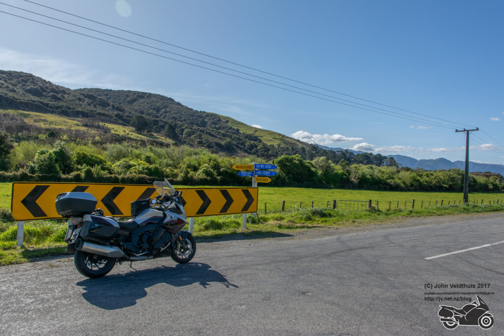
Next stop was 59km away at another road sign but on the way out came across an accident and looked like someone had gone off the road. There were about a dozen bikes there and a couple gave the thumbs up so I carried on. Did see two ambulance vehicles heading that way though so hope they were okay.
Picture taken of the signpost. Well not really because my camera started playing up again at this point. The Nikon says Err flashing on the display and takes a really dark photo. Web reports say it is losing contact with the lens and to clean the contacts and I have done this a few times now. Maybe time for a new camera as my Nikon is quite old. Finally got a proper photo.
Mauriceville Sign was the next on the list at 86km away but first a fuel top off again in Masteron. Got some 95 this time to blend with the 91. I have been at this sign a number of times now. No other issues and grabbed the photo.
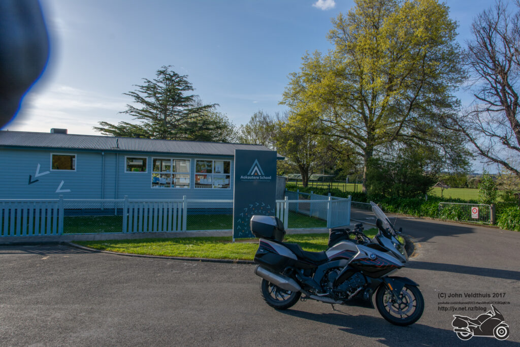
On the homeward leg now and next up was Aokautere school. GPS was telling me back by 21:40 at this point. The stop was 68km away, but I must have missed a shaping point as the GPS seemed to be pointing me back towards the Saddle again. I took the intended route over the track and the GPS recalced and said 21:00 back at base. An easy 40-minute saving. Arrived at the school and took the photo.
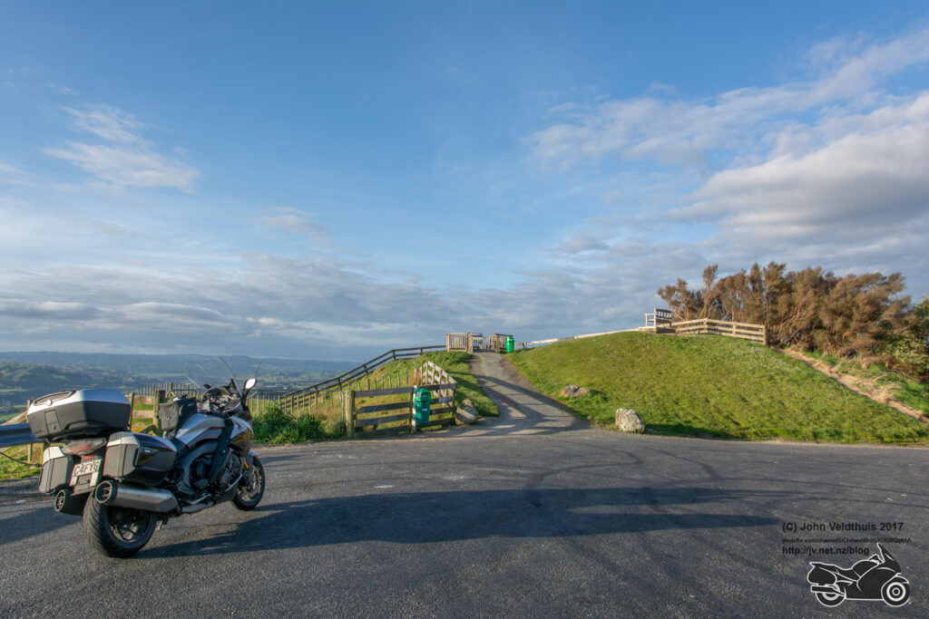
Stormy Point Lookout was next 55km away and was quickly dispatched. Always a great view from this lookout.
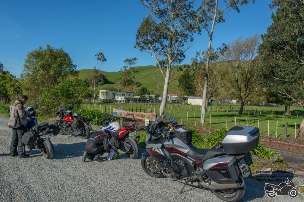
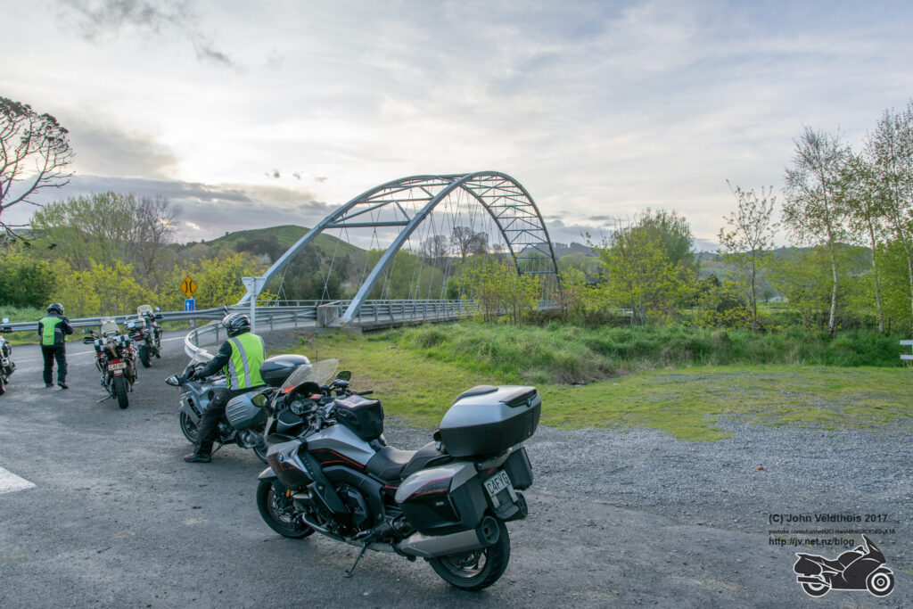
My next stop was Hunterville to top off again. I had enough fuel to get back, but I needed enough to get home after so a quick top off needed. There were 4 others here at this point just pulling out as I filled up. I was a bit worried about this next stretch as had trouble getting the GPS to route it properly, but it handled it without a miss. The Bridge over the Whangaehu river was quickly taken and off for the final two checkpoints.
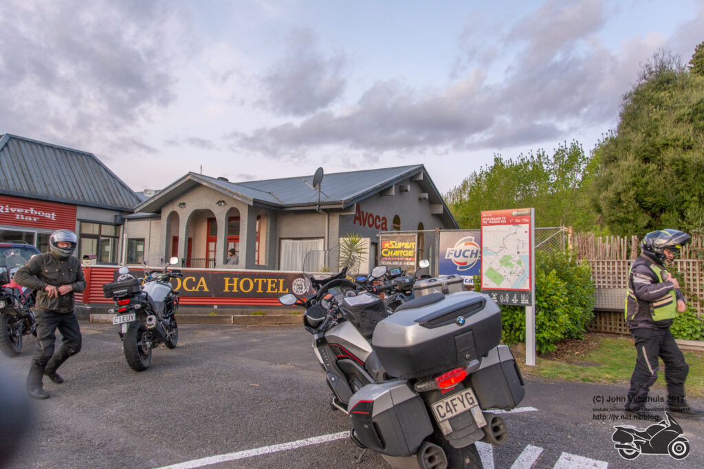
Next stop was the Upok Avoca pub only 33km away and I followed the other 4 and we soon had that one.
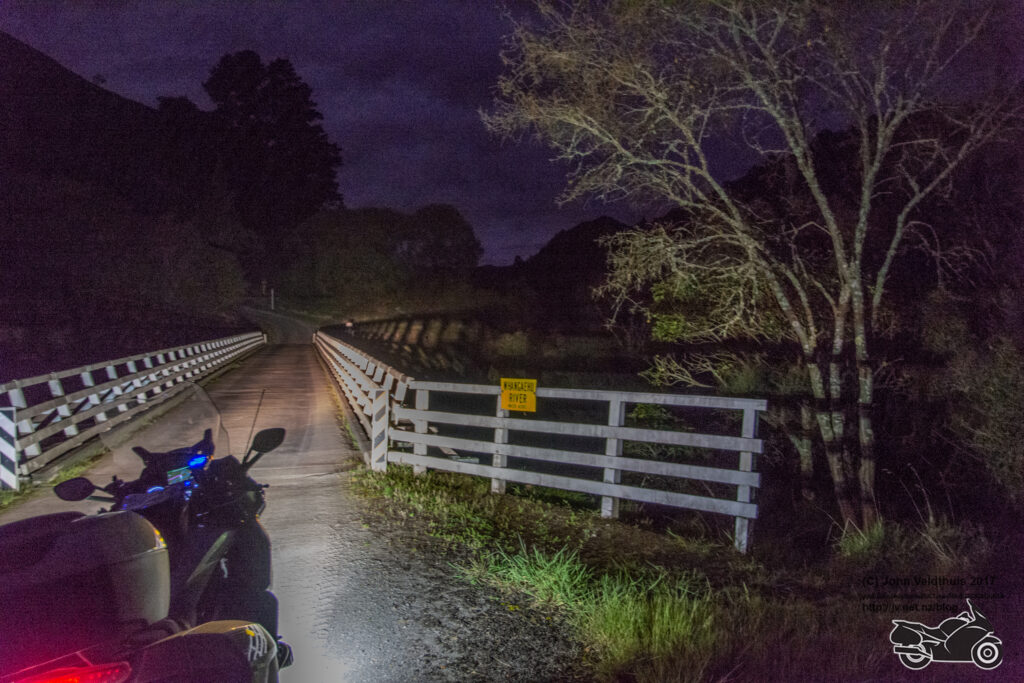
One last stop was up the Paraparas, right on Fields Trak and then to the Whangaehu River bridge. I left before the other four as I know the Paraparas like the back of my hand and wanted to make good time. Thought I would make the bridge (56km away) before the sun went down but not to be. It was dark when I turned onto the track and the wildlife was out in force. Sheep, goats, possums, rabbits, and a few others made the horrible road even more dangerous. Finally got the bridge and quickly took the photo with the bike lights. The photo after editing makes it look quite light but it was really dark. Just shows what software editing the photo in Lightroom can do.
Now just 38km left to the finish. It was slow because still had to get off the trak but finally good road and arrived back at the start at 20:40. Not bad considering the time I wasted. Took my photos in and got them checked off and then onto the tasty burger and drink that was included in the price. The burger was absolutely lovely considering I had had one moro bar all day and about 600ml of E2 drink.
21:30 and it was time to go home back down the Paraparas. Saw about 20 bikes coming back on the way and I arrived home at 23:30, left everything where it was and went to bed.
Another NI800 completed without too many issues. My GoPro disconnected from the battery not long after the start, so it stopped recording until I noticed it. My key fob gave a low battery warning right at the start, but it too worked okay. My back was extremely saw the next morning due to the bumps and the damage caused by the crash I had in 2021 but otherwise great.
I will post the time lapse videos on my YouTube channel after I have processed them. Good to have the telemetry back with the new GoPro Hero 11 but think I will leave one gauge off.
Channel here
Thanks to the organisers who again did an awesome job and finally picked a great day for a ride.
I had a similar issue with my Zumo and found I had more than one map ticked it the menu . Once I only had the latest map ticked all went bact to telling me how far to next turn . May be worth a try for you
I have always had both the Garmin and NZ Open maps selected with no issues before. However the thought crossed my mind and tested it after. I found that with the NZ Open map only selected I got turn by turn instructions with distance to next turn. With the Garmin 2023.2 Aus/NZ map only selected I got no turn by turn announcements nor distance to turn indications.
I have saved the old 2022 Garmin map and intend to put that back on and see if that works and am confident it will. As I said the speed limit indication also vanished on both my Nuvi 2797 and Navigator VI when I updated the map to 2023 version.
I also started with the whole route on my montana 700i. After CP1 I sion found it worked much better if I added the CP as a way point and let the gps route. This got rid of confusing diverging tracks. Well done mate!