This year will be my 11th run at the TT2000. I would have had the TT10 badge but failed to complete one run after dropping my Honda VFR1200 on the main street of Westport. Pulled away from the dairy and still don’t know what happened but road was wet. Cracked the panier open and broke my clutch lever on the Friday night so called it quits.
Anyway, this year is mostly schools, and it was obvious from the start that getting the 2000 points would be very easy. However, starting at the top of the South Island and finishing at the bottom meant getting the 2000km would be a bit more work.
This is also going to be my last ride for about 8 weeks as I go into surgery on the 1st of March 2022 to have my left Ulnar shortened by about 5mm and my TFCC reconstructed. This is all damage from my accident in January 2021.
Again, there are four mystery check points which one took a bit of finding as I knew where to look but google street maps did not have a photo of it. Tracked it down eventually. I will be grabbing two of them as the others are well out of my way.
I left booking everything until late because I did not know when my surgery would be but as soon as I knew I booked everything. Finishing way down south meant another night in the South Island I could not get back to catch the ferry in time.
Plan made up and transferred into the GPS and it was time to sit back and wait for the 18th of February.
I did one timelapse video of the Friday with the GoPro. Turns out my camera case blocks the GPS antenna so does not record data. Only did Friday as I had time to set it up. Saturday was quite a bit in the dark, which the camera does not do well, and also there was a 100% chance of rain, which also makes videoing horrible.
Thursday 17th
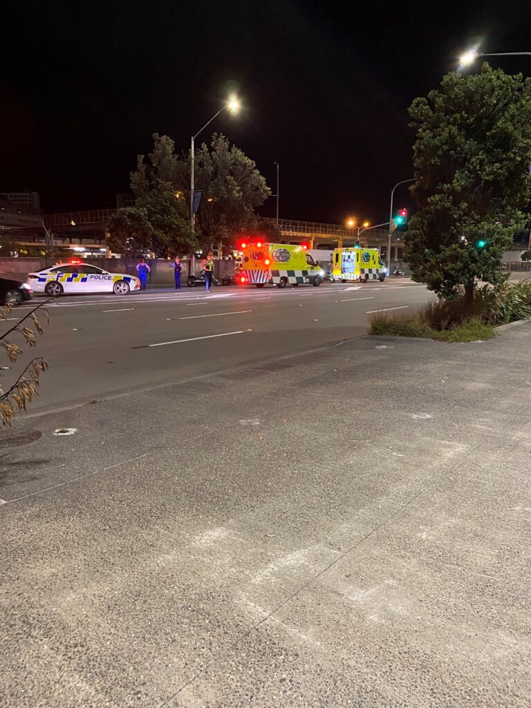
Hurry up and wait was the call of the day. Early access to the ferry wasn’t until 11pm but I eventually ran out of things to do so left home for a slow ride down to Wellington about 2:30pm. Nice day but a little windy and was only doing about 90kph most of the way. Arrived at Bluebridge way too early and sat around waiting until 10pm to book in. 10pm and then noticed a sign saying ferry delayed (again) and not open until 10:30. Finally they opened and got my ticket and moved the bike to the park area only to be told early access was no more and I would not be able to load until about 2am. Really annoyed me as that was the sole reason, I brought the ticket. Seems they have stopped early access. Will be a bad review for them. However, to kill the time some bikies decided to speed past on the main drag. It sounded like a police car was chasing them, but it was an ambulance. Just as they went past us, one of them seemed to hit a centre island. It must have cracked open the crankcase and put oil all over his back wheel. Needless to say, he fell off and the ambo stopped next to him. In the next 20 minutes at least 8 police cars turned up and two ambos.
Friday 18th
Got up at 5:15am and was told food not until 5:45 so had a bit more sleep and then had breakfast before finally getting under way about 6:40am. Slow ride to Blenheim and refilled the bike. Arrived at the start area and was the first one there. Not for long though as the bikes started arriving and there was a constant line of them backed up along the road at times. Impressive array of bikes in the car park. Briefing started at 11:30am and we were on our way by 11:50am.
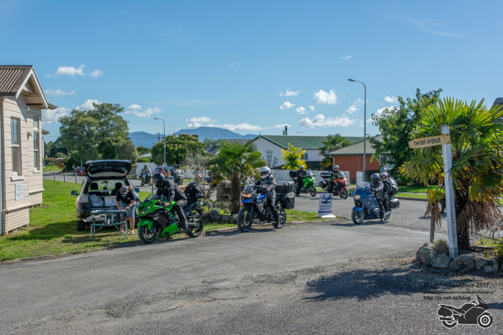
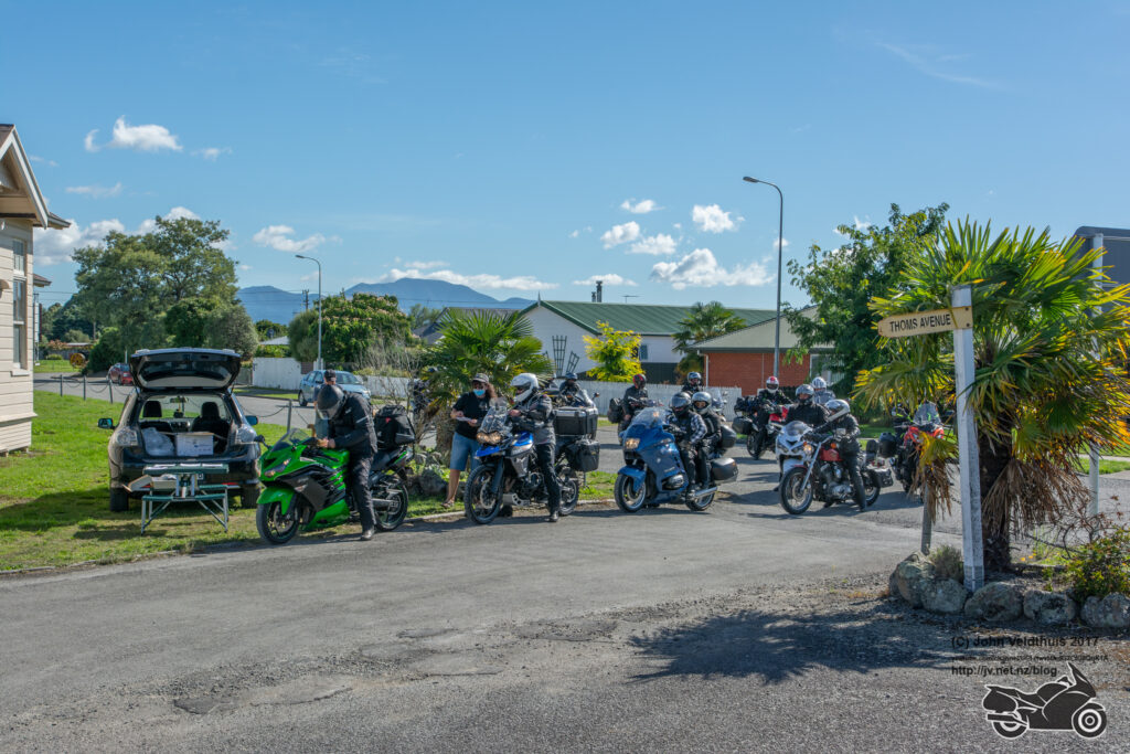
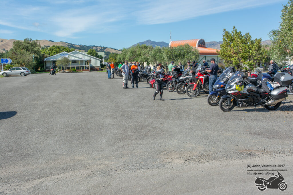
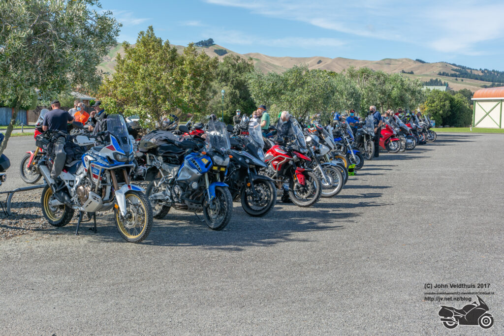
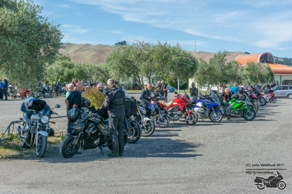
My plan had me going north and then down the east coast arriving Timaru about 5:30pm. This plan soon went out the window as the road speed limits have dropped. I thought the North Island was bad but there is multiple 80, 90 kph areas on perfectly good roads and then you get the wankers doing 10kph less and yellow paint as far as the eye can see and you are barely getting along at 70kph. Took the left onto the Queen Charlotte Drive and man is it in a bad state. Heaps on one lane areas and multiple stop/go lights. One corner had masses of gravel and had a big slide through it and made a note to self to watch for that on the way back. Finally arrived at my first stop of Linkwater School and grabbed my first photo.
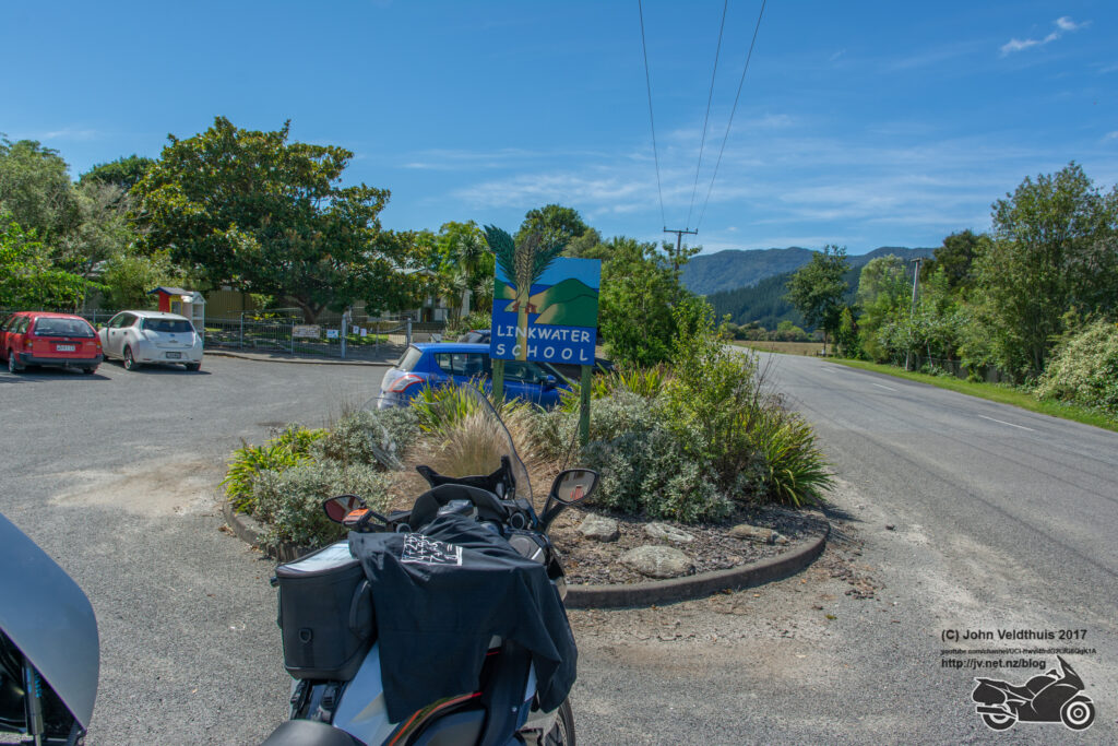
Now back along the crappy road and forgot about the note I made earlier and slide on the same gravel patch along giving another pucker moment. Havelock school was the next one and already dropping way behind my schedule.
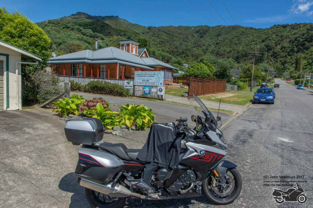
Canvastown school was next and not far away so made good time and took my photo. The problem this year was you had to get the exact photo and the GPS co-ords only took you to the school not the right place. This meant going around the block at times to find the right place.
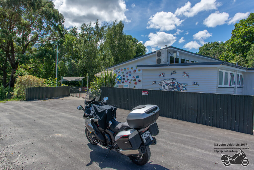
Ward school next so back the way I came to Blenheim and then down the East coast. Day was very warm now at 32 degrees but there was still some fresh snow sitting on the hills. Ward school photo taken and continue along the coast.
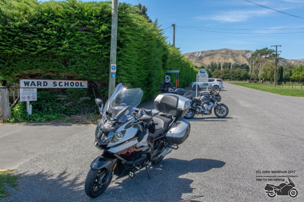
A nice brisk ride down the coast and Hapuku School soon came up. Stopped and made sure I had the right photo shot and carried on.
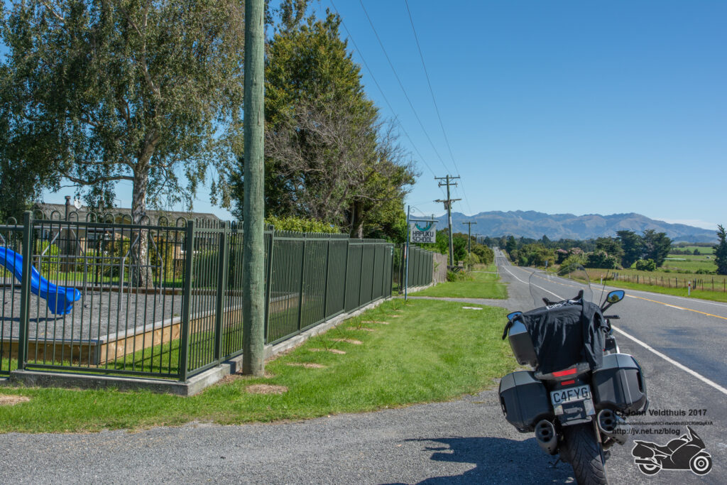
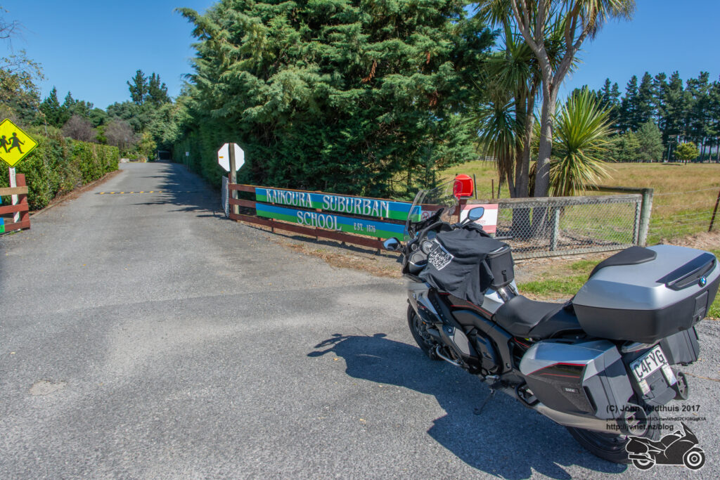
Not far though and a right turn and a few kilometres to Kaikoura Suburban school. Photo down and back to the main road via an alternate route with a pit stop along the way.
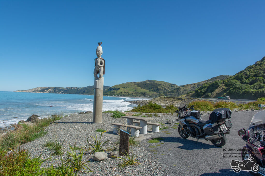
The Canterbury mystery check point was next, and I kept thinking I had missed it as there seemed to be heaps of these statues along the way but when I got to my location it was the correct one and I took the photo.
Now we got into some small twisties and a hill and a big tail back of cars not moving. After waiting a bit and not seeing anything coming from the other direction I pulled out and slowly made my way up until I got to the front which had a stop/go person there. They finally let us go and they had just done one tiny strip of sealing but the tailback on both sides was huge. My next stop was to be Mobil Cheviot, but it was an Allied station so carried on.
Next on my list was Great Valley but I had cocked up and Omihi School was actually the next one and I saw it just before I shot past, and I grabbed it. There was a three-wheeler bike there. Took the photo and realised I was going to be short for my distance now.
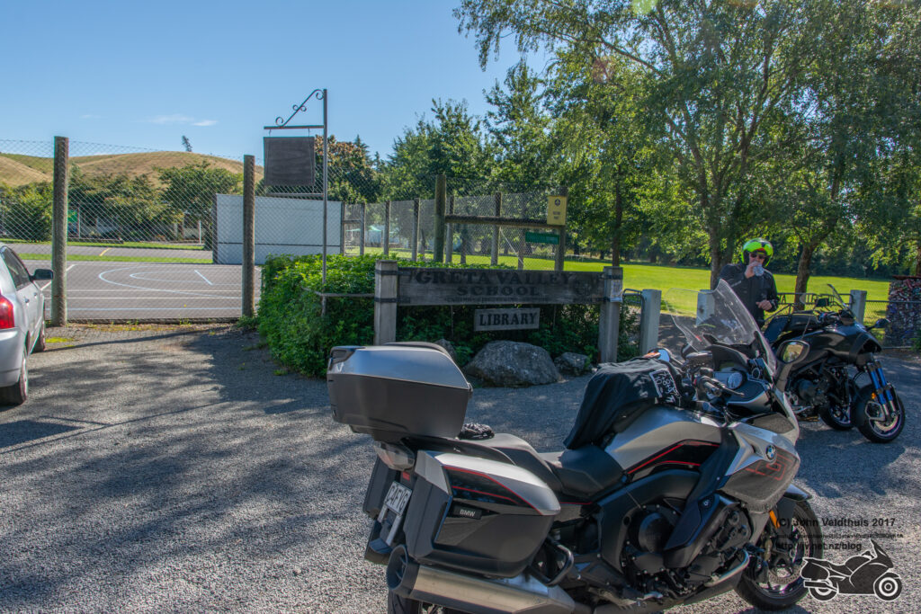
Greta Valley school was next. I took the photo and was getting a bit concerned about my fuel as the warning had come on, so I had a look through the GPS to see how far Amberly was and it was within my range. I took the photo and the guy on the 3-wheeler got away just before me.
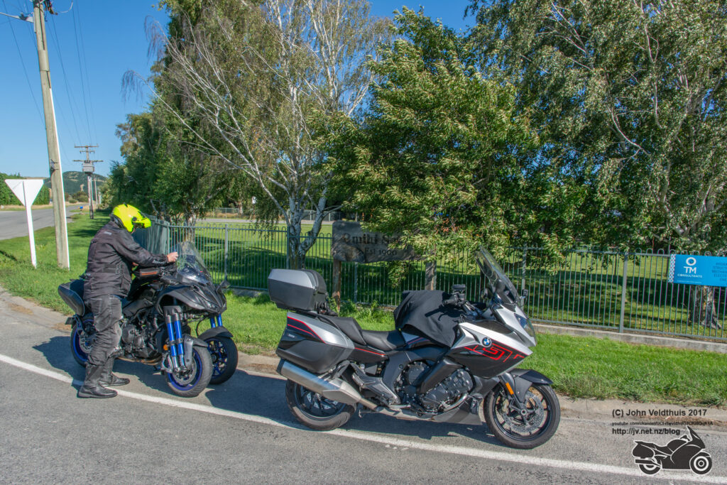
It was a right turn to Waipara school and the guy in front low sided on a bit of gravel. I gave him a hand to pick it up (it was heavier than it looked). Didn’t seem to have much damaged at all and he said he had a sore hip. He got it restarted and we carried on. Photo taken.
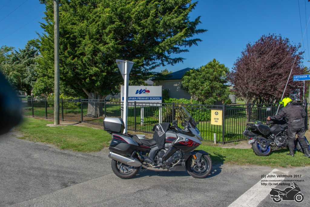
My next stop was Chertsey so back to the main road and further south I went. It was 120k away so took about 1hr 30 minutes. Stopped in Amberley first though to fill up the beast. Through Christchurch and traffic was quite heavy. Got to the turn off and had a bit of trouble finding the right spot and had to do a u-turn and then around the block but finally found it.
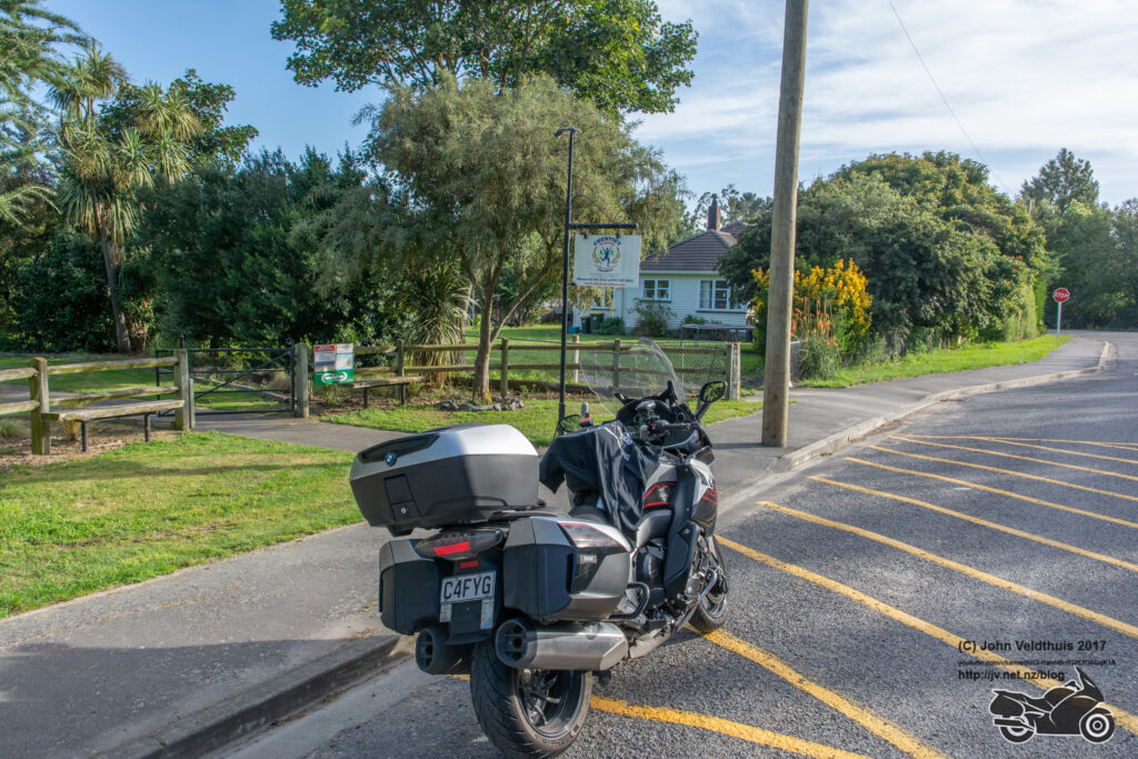
One more school for today and I was about 30 minutes behind my original schedule. I had been letting the bike use a bit of its legs at times. Found Arowhenia Maori School but could not see the sign for the photo. Remembered the briefing saying one school had the sign blown down. Took what I thought was the right place and carried on to my stop for the night at Timaru Top 10 park.
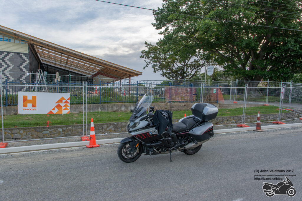
My plan for the day was 633km. With the boo boo I made it dropped to 607km. I actually did 598km and arrived 30 minutes later than my plan. First day in the bag. Got to my unit and it had no power. Told them about it and went up town to get some tea and refreshments and when I got back the power was on.
Saturday 19th
Plan had me away at 5:30am but due to speed limits I decided to leave an hour early. This would give me some time for breakfast which I don’t normally plan in. Was up at 4am after a good sleep and away for my first checkpoint at St Andrews School by 4:30am. Short hop of 19kms and I was there.
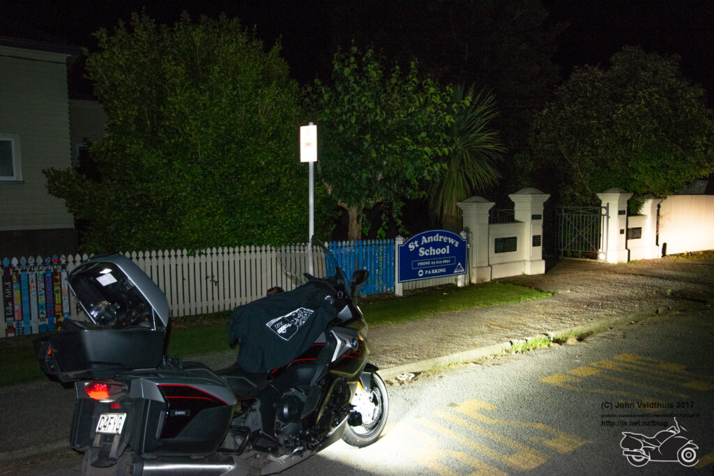
Makikihi School was next and even shorter distance away so no issues finding it.
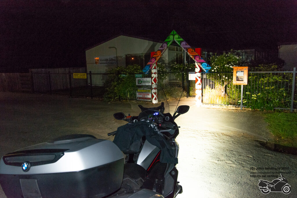
Glenavy School was next on the list and where my troubles began. It was a 30 min ride away and quite easy to find and take the photo and head off for the next check point. However, after about 10kms I had the sudden thought that I had not put my tee shift back. Pulled over and checked and sure enough no tee shirt. Nothing for it but to back track and see if I could find it. Suddenly saw it in the middle of the road on the Waitaki bridge so went to the other end, turned around and made my way to it and pulled up just past it. Hopped off to grab it and a truck went past and my tee nearly went over the side into the river, but I grabbed it and back on track.
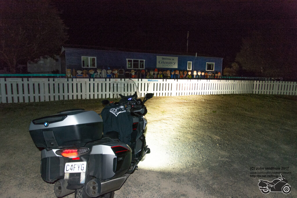
Totara School was next and was still on the main road so pulled over and grabbed it. My spot tracker started flashing red at me about this time meaning the battery was low. They are special Lithium batteries and very expensive, so I don’t keep spares with me. They usually last a while once it starts flashing red.
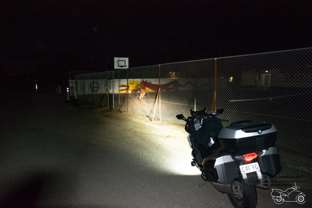
Next was one of my compulsory points of Kakanui School. The GPS was telling me to continue down the side road, but it looked no good, and I didn’t remember it when I set the route up. So, I carried on down the main road and it told me to take a left further down. I took it and it was not much better, and it was telling me to take a left in 8km. Then things got weird as the road on the GPS vanished and it was still telling me to take the left at the end of the road. I followed it and the damn thing took me in a loop and I was back on the main road at Totara school. I killed the route and did a manual goto and this time it took me to the right place and finally got my photo. I needed some extra kms but that was ridiculous.
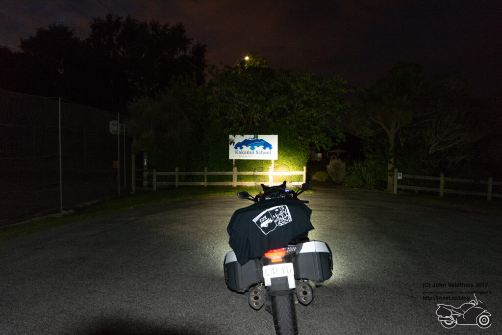
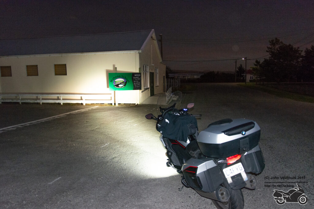
Restarted the route and next up was Maheno school which was found no problems at all.
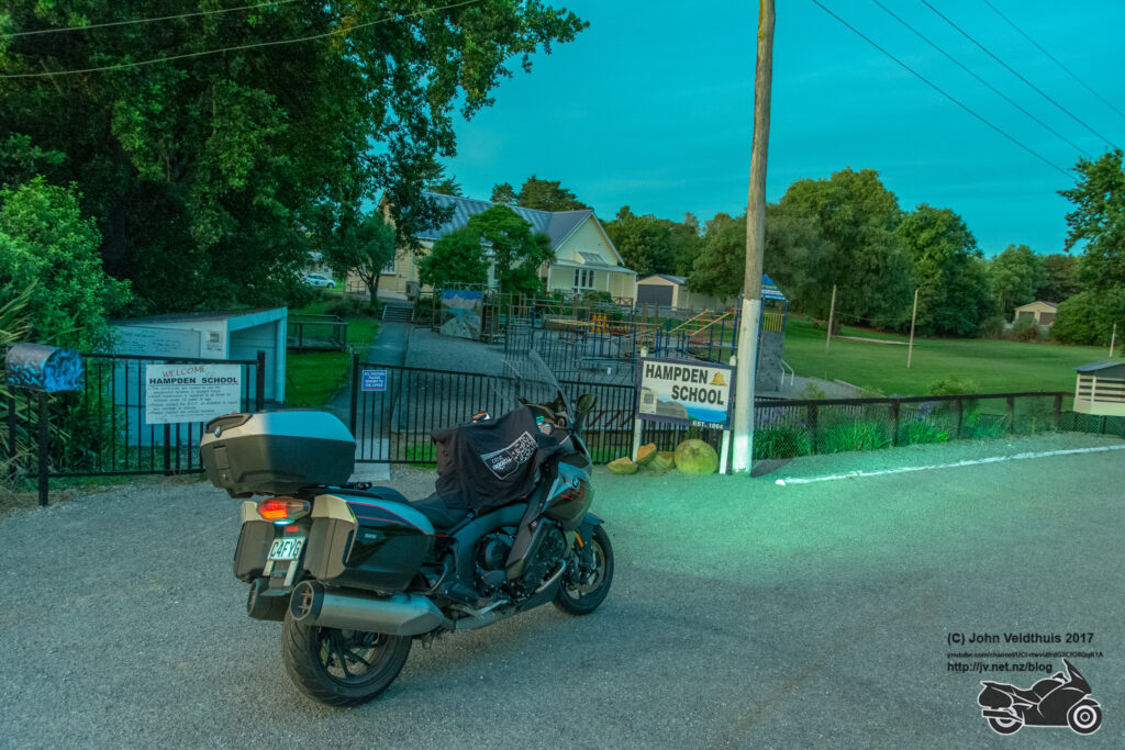
Hampden school was next up, and the camera must have done something strange as the colour for it is really weird. It was still a lovely morning with clear skies and no sign of things to come.
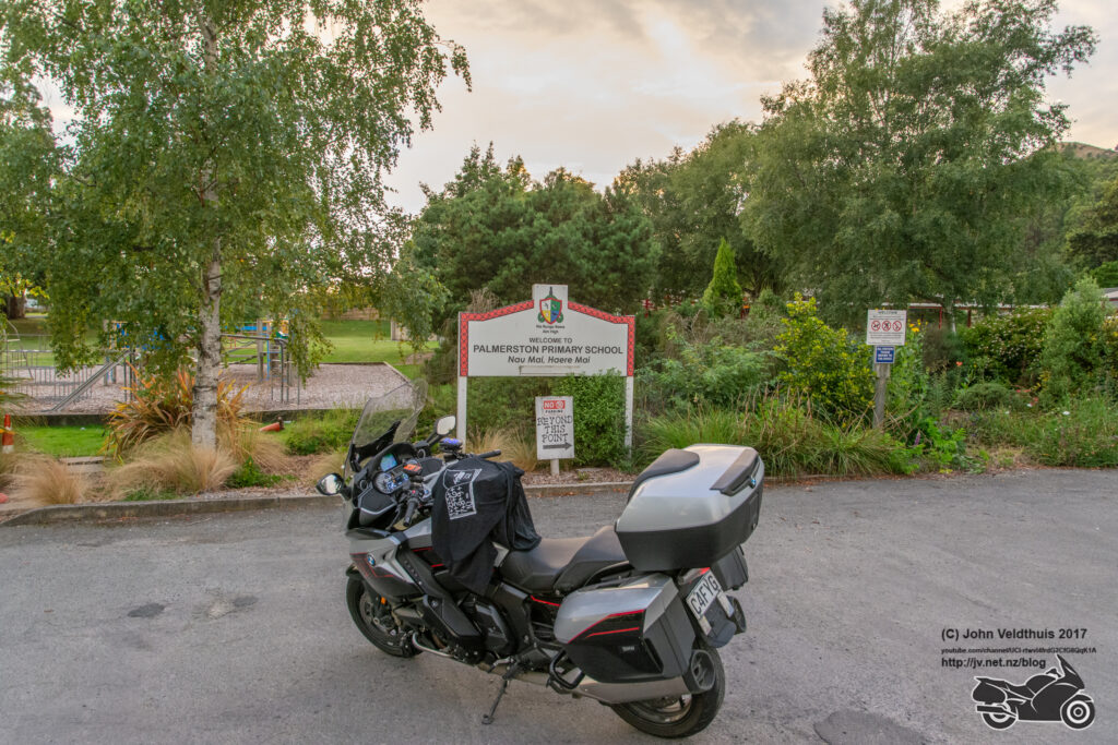
Palmerston school was next up and finally found a bakery open and they said they would do me up some bacon and eggs on toast. It was very nice. Photo taken and away.
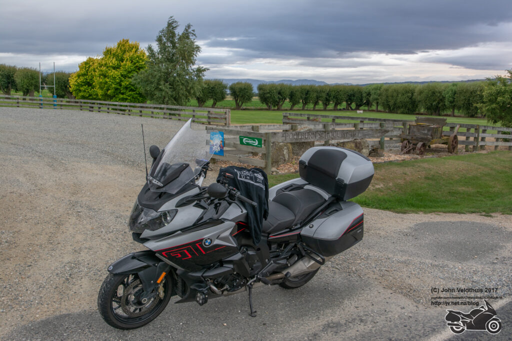
Poolburn school was next up, and I could see the clouds starting to build around me but still clear overhead.
Mystery Otago was the next one. It was a little hard to find originally but got a hint from someone which helped.
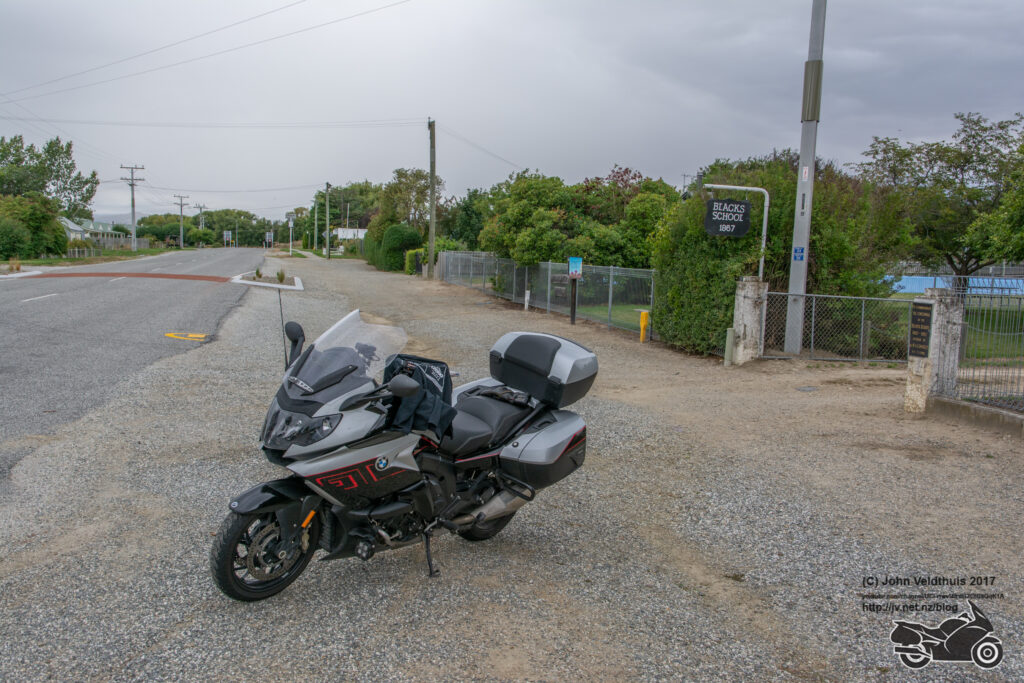
Omakau school was nice and only 3km further along. After taking the photo and short distance later it started to rain just a bit. I thought I would put the rain suit on and keep it away, but it didn’t work.
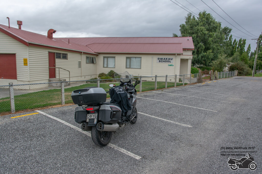
Fuel stop in Alexandra at about 9am and it was off to Glenorchy school. Took a while to get there but the road out from Queenstown to Glenorchy is lovely. Photo taken and it was another compulsory one for me.
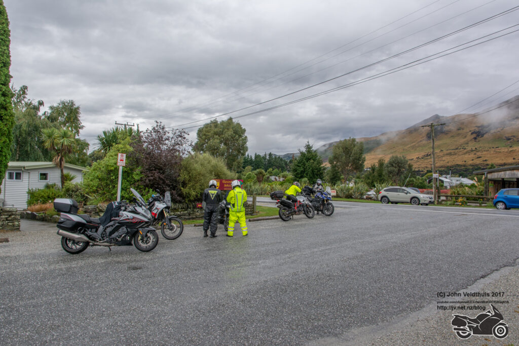
Then back the same way and off to find Garston school. The wind through the Devils Staircase area was horrid hit you just at the wrong time and the rain was relentless. Finally came up to the school and quickly grabbed a shot.
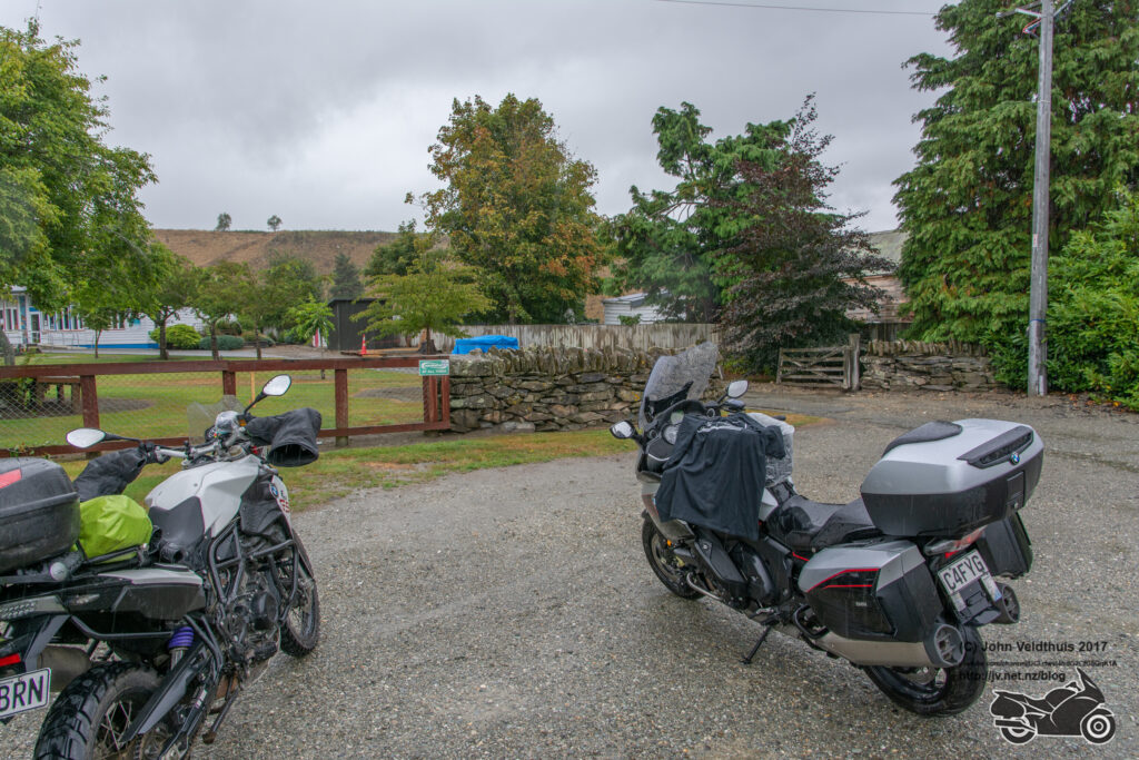
Mossburn school next cab off the rank and quickly dispatched.
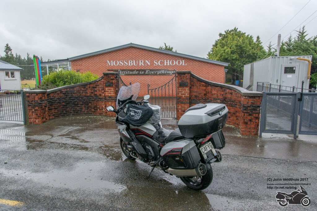
Mararoa School was next and another compulsory for me. Needed to get two pairs of them.
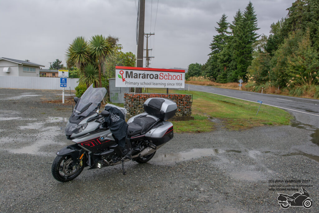
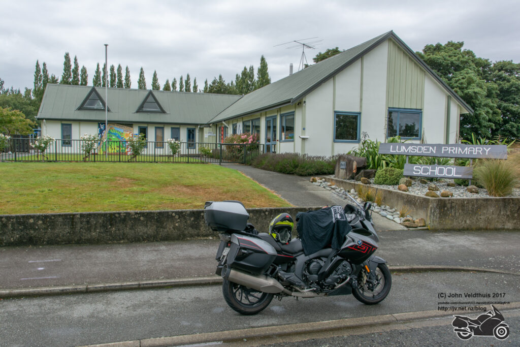
Went out to TeAnau just to grab some extra kms and to fuel up. Rain had just stopped as I got there, and time was about 1:30pm. After that it was back along the same route and to Lumsden School. It was still not raining so decided to take the rain suit off, but it had not really done its job and I was soaking all the way through.
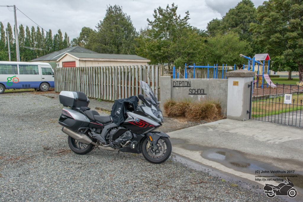
Dipton school was next and no issue.
Takitimu school was next after that and again quickly found.
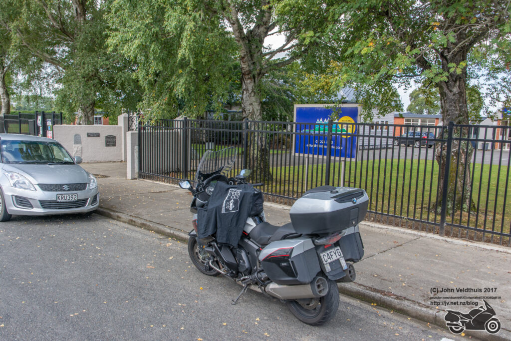
Final stop of the day was Hauroko Valley Primary school where a lady and a couple of kids emerged from asking if there was going to be more. Told her I was sure there would be. Grabbed the photo and was off for the 92kms to Invercargill Holiday Park for my stay for the night.
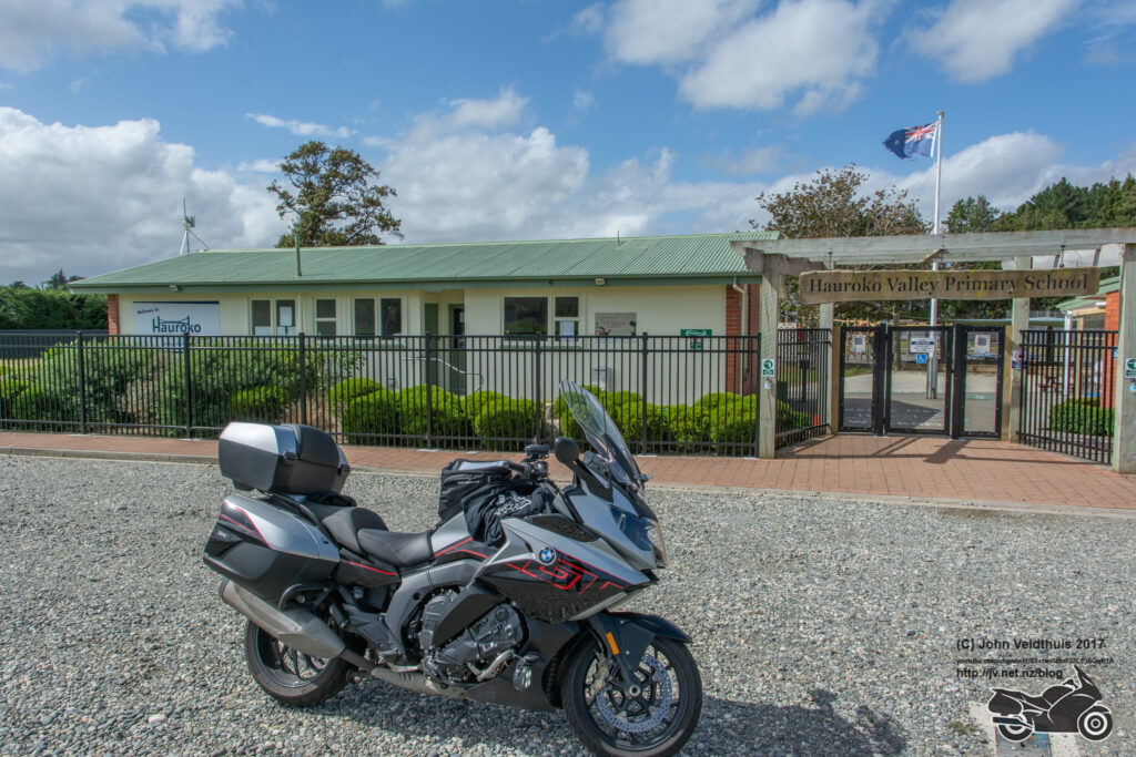
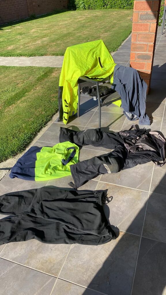
Arrived 2 minutes earlier than my target time and quickly had all my wet gear hanging in the sun. Planned to do 974km on the second day and ended up on 1010 which sounds right given the detour my GPS made me do and back tracking to find my tee shirt. Then had to start drying stuff out. Gloves never did. Good I had several pairs.
Sunday 20th
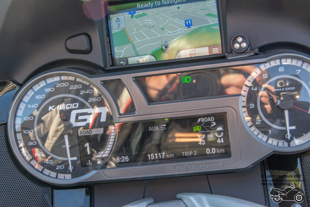
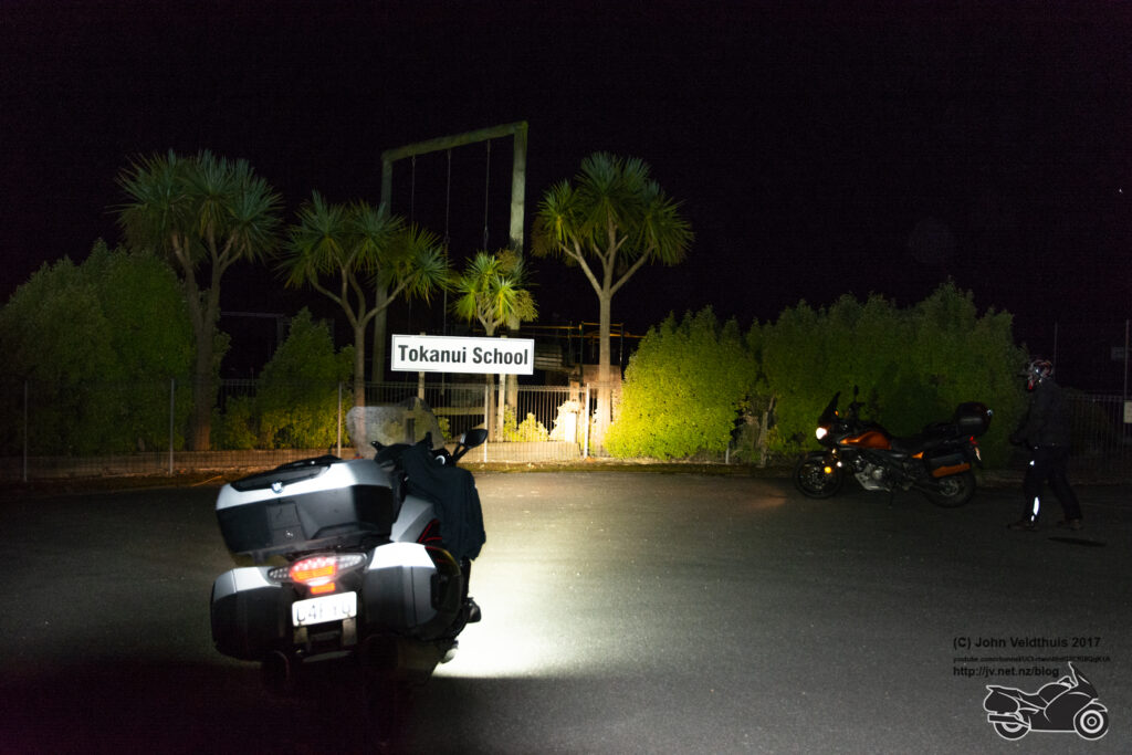
Sunday was all about getting my last compulsory checkpoint and then making up the distance I was short to 2,000km. So off to Tokanui school I went and again decided to leave an hour earlier than my plan and left at 4am from Invercargill. I put several via points in around this area as I wanted to make sure it had the right route, but it failed. I arrived at Tokanui school at about 4:30am and put the bike on the side stand still running. The Denali D4 lights take a lot of power. I realised I was pointing at the wrong place to light up the correct sign so went to hop back on and move the bike. My foot must have hit the gearshift lever and it went into first. It killed the engine quickly but not before it wet forward a small amount. However, this was enough to move it off the side stand and as I held onto it the bike slowly toppled to the ground. I was in no position to stop it. At this point I thought I was stuffed. The BMW K1600GT is a big beast to say the least and I wondered how I was going to get it on its feet. 1st attempt re-enforced the feeling as I could not even budge it. 2nd attempt I got set again. No adrenaline to help as it went over too slow so just had to heave ho and slowly it came up and careful not to go too far got the side stand down. A quick check and looked like just a bit of paint scraped off the pannier crash bar. Repositioned and took the photo just as someone else rode up. The bike without panniers is about 320kg. I had both panniers and top box full for another 30 odd kg.
So now was just the ride to the finish point. Was going to refuel in Gore but again the GPS had other ideas. It again tried to send me down a gravel road. It did not look too bad, and I knew that it was a short road so let it have that one. Joined up on the right road and was back on track. Nearly went past my stop at Gore Mobil and again it was an NPD station but had to take it.
It was about now I noticed that my Spot tracker was dead as a dodo. Batteries too low.
Next stop was Dunedin and was looking for a place for breakfast but nothing open. Filled up in Dunedin and went through town but still nothing open and it was 7:30am. Had a slight detour as the cops had the road closed off obviously looking for someone. Now to the finish. Headed towards Milton and then past far enough to get the 2,000km and then headed back but not before the GPS once again wanted me to go down a gravel road. Have avoid unsealed roads turned on so it should not be doing it. It even tells me unpaved road so not sure what the issue is.
Finally rocked up to the finish at 8:30am and found the paddock and parked on the tennis court. Two lovely ladies where setting everything up and allowed me to upload my photos and took my stuff. Seeing as I was finished early, decided to see if I could catch the ferry before it sailed. As I rode out through the gate, I could feel the bike moving really badly and thought it was going to be a mess after 300 odd bikes had been over it. Still couldn’t find anything open to eat until I got to Palmerston about 10:30am and had another feed of bacon and eggs in the same bakery.
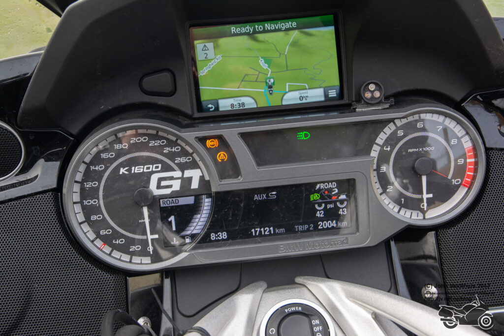
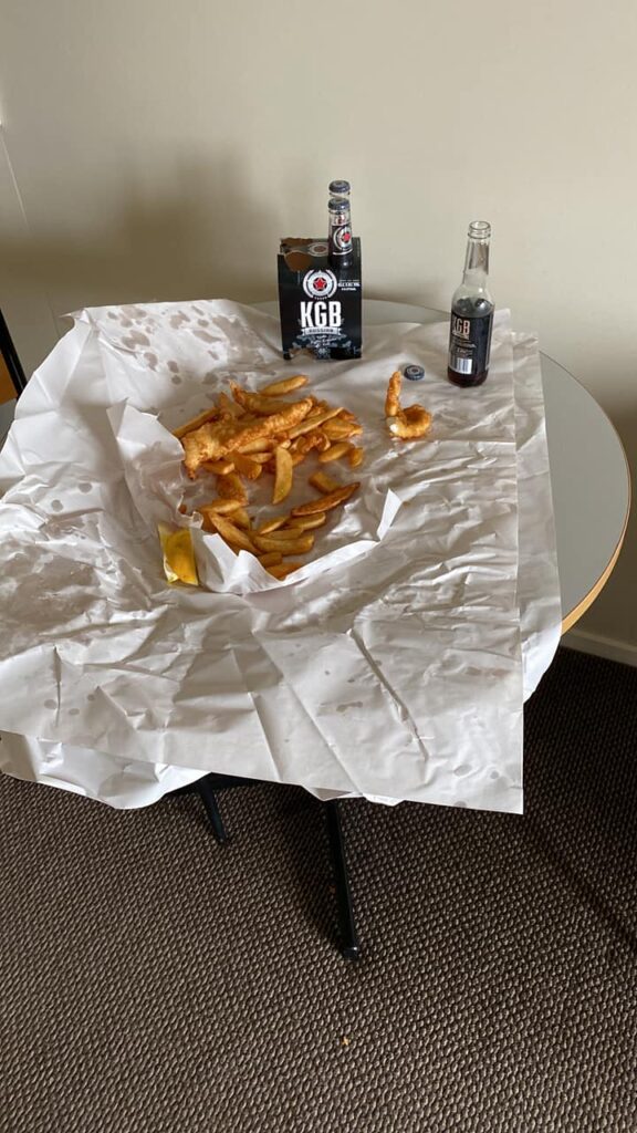
As I got to Kaikoura, I was feeling really tired so decided to stop at the place I had booked to stay the night. Again, another detour around town because a sink hole had opened up on the main road. Arrived there about 4pm and got some tea and refreshments. Ended up on 2004km for the ride.
Monday 21st
This was just a quick blast up the coast to Picton, catch the ferry and a 3-hour ride home from Wellington. Refuelled at Blenheim. Other than that, a boring ride home arriving about 4pm for my 11th TT ride and 10th successful finish.
A great ride put on in trying Covid conditions. Well done guys.
Oh, and whoever says time heals all wounds has never been really hurt. My wrist still gave me sh*t nearly the whole ride. Operation on the 1st March will hopefully fix that.
