The end of August 2022 and the rules and checkpoints for the TT2023 are now out. Quick read of the rules shows that one must do 2,000km, do it in the time prescribed, and this year have ten compulsory check points from one of themes.
The themes being “The Pilot”, “The Driver”, “The Captain”, and “The Engineer”
I had a preliminary look at the checkpoints and a possible route before I decided on doing “The Engineer”. “The Engineer” theme had to do with trains and stations.
As usual there were mystery check points but this year there was also a mystery route which you would not know until the day. Did not want to spend time entering checkpoints later so gave this one a miss. I did find two of the five mystery check points quite quickly and found they were nowhere near my track. Found the other three checkpoints with only one needing a bit of help. These three were on my route so stop at them I must.
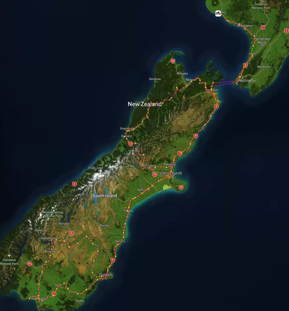
This year’s start is in Clyde so that meant taking an extra day off to travel down Thursday for the Friday start. Decided quite quickly to stop at Dunedin for Thursday and Friday nights so booked the Bluebridge ferry and cabin and a motel in Dunedin quickly. Next was piecing togeather my route for Friday which was easy to get back to the motel. Saturday was always going to be a long day and I wound up routing up to Christchurch and halfway to Kaikoura before heading back down and then over to the west coast via Arthurs Pass to Greymouth and then up SH6 to Nelson and then to Blenheim to stay Saturday night. Sunday would be a quick blat down the east coast to Kaikoura to pick up enough kilometres to get the 2,000 and finally finish in Picton before catching the ferry home. Plans made, motels and ferries paid for, and it was sit back and wait.
While waiting and on the way back from the Hamilton 1KC my GPS started playing up as though someone was touching the screen. Turns our this is a common fault with the BMW Navigator 6 so had to send it back to get a fixed one. But as usual in this day and age they could not give me a date for when the new one arrived and said it may not be back by the end of February. Therefore, decided to splash out on a Garmin Nuvi XT. Was a pain to find a clean spot to mount it but finally did and looks to be working well.
Going to add this in here
It is now Tuesday 28th February and two days after I got back. I tested this morning as I had a course on for work and was clear of covid. However was feeling a bit off after lunch with a sore neck and bit nasally so I tested again and tested positive for covid. Think I picked it up coming back on the ferry as there was a group not far away coughing. Only good think out of it is I get another 4 days off work. Hopefully my symptoms don’t get any worse.
Day 1 – Wed/Thu – The Trip down South
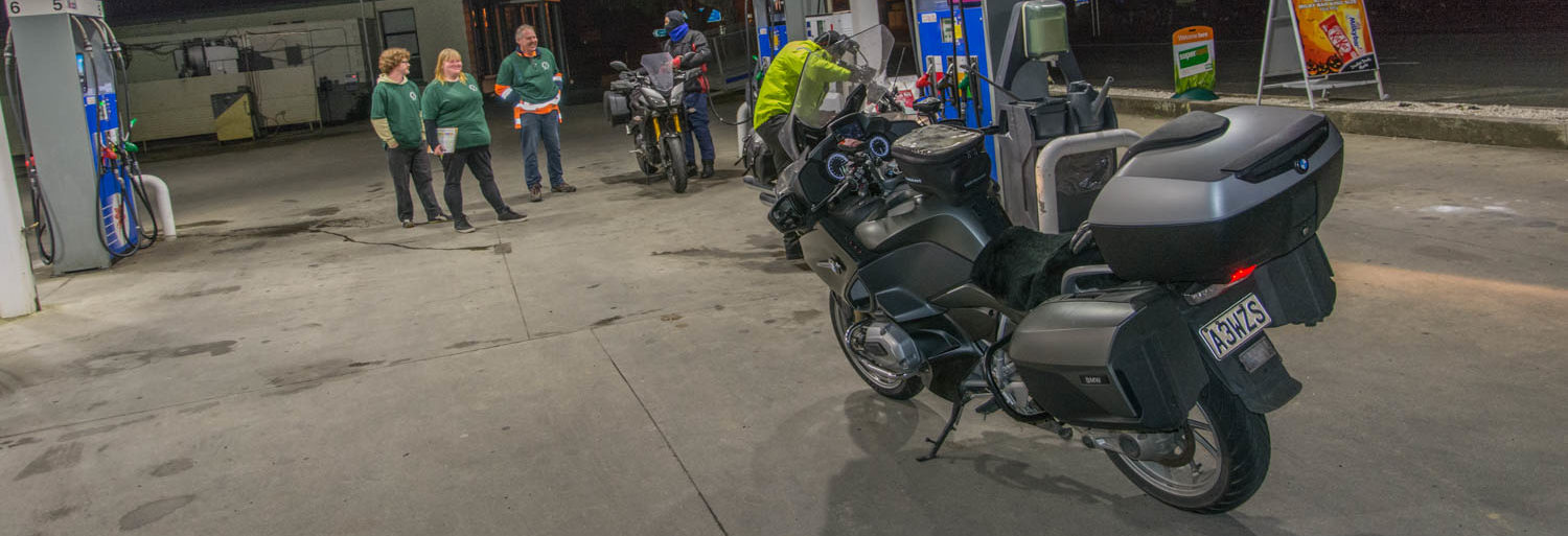
Decided to leave at 4pm to take a nice leisurely trip to the ferry. Travelled at 96kph and got great milage. Would have got 524km from the tank. I normally aim for no more than 400km per tank. Anyway, as I got on the new expressway and started to climb the big hill, it started to rain so I increased my speed and arrived at the Bluebridge terminal at about 8:15pm. They had texted me saying my ferry was delayed by up to 1.5 hours (yeah right). The terminal was open, so I parked my bike out of the rain on the foot path and went inside. Got my ticket and waited. Ferry arrived finally and we went out to wait to load. They got me and another guy in the pouring rain and blowing wind for nearly an hour while they loaded trucks and campers. I finally told the lady to hurry and load us and get us out of the rain. 2 minutes later we were heading on. They put us in front of a truck that had been loaded 40 minutes earlier and they could have loaded us before that. Another black mark for Bluebridge. Went to my cabin and hunkered down. Finally sailed 2.5 hours late and the crossing had quite a large swell. Had breakfast on the ferry which was not that great, and it was fine in Picton as we unloaded. Headed for my motel in Dunedin which the GPS said was not quite 9 hours away. Just before Kaikoura it started to sprinkle so decided to stop and put my rain suit on. The rain on the trip was not heavy but was consistent. Once on the Christchurch motorway I suddenly saw a cop with his lights on and hoped he was not coming for me. I pulled over to next lane to let him pass which he did but then he suddenly veered across the road in front of me with no indication and also in front of another car and just took the exit ramp. Wankers need to learn to drive.
Another fun part was just before Oamaru there was some road works and a huge tailback. Slowly made my way down the outside and inside towards the front and caught up with another doing the same. As we got near the front, we saw that 4 cars from the front was a cop car so our progress was halted and we pulled in beside another bike 1 car back from the cop. After a short time, he pulled out and did a U-turn and then pointed at all three of use as though for us to pull over to the side of the road. We thought we were going to get a telling off, but he was just signalling that he was taking the side road. With him out of the way we made it to the front. Think we sat there for about 30 minutes all up. Luckily it had stopped raining for a bit. Rest of the trip was uneventful and arrived at my motel in fine weather. Stripped off and went to town looking for some refreshments and dinner.
Day 2 – Friday – The Start TT2000 2023
Was about 2 hours from Gore according to the GPS but I made a boo boo and selected the wrong checkpoint for the start. It took me off SH1 not long before Gore and I thought it was taking me on a shortcut. However, when it looked to be taking me further away, I checked and discovered my mistake, selected the right start point and after detouring about 40km arrived at the start location at about 10:30am where I quickly registered and took my start photo.
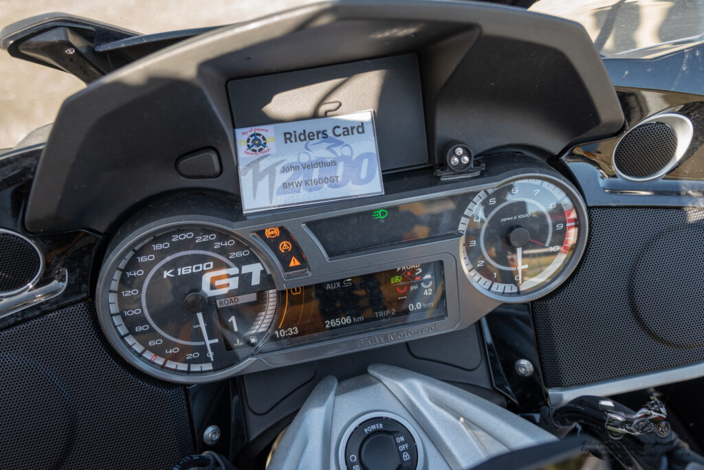
Went to set up the Hero 11 but found I had everything but the camera. Seems I had left it by my computer so no timelapse this time. Duh!
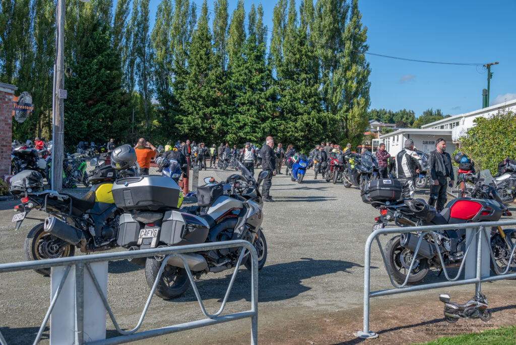
So finally underway after a short wait and GPS was saying I would be in my Dunedin stop by 18:36. My plan had me there at 19:37 but it was very conservative. I also worked out that the GPS seems to calculate the time with about 10kph under the speed limit so staying above 90kph would gain time. I decided to stick to no more than 108kph this trip.
My first stop was only 14km away at Mataura station but had to get through a stop/go roadworks first. My new Zumo XT GPS was doing a great job telling me of upcoming roadworks and such, but never once did it offer a detour. Snuck up as far as I could along the line and briefly stopped before continuing to the stop and taking the photo.
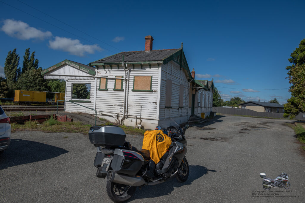
Second stop was a further 52km away at the Burt Munro memorial. Snapped and another 1.4km to Invercargill Station and then 1.7km to Oreti Railway. Finally, 1.4km to Invercargill airport. All snapped and no making up any time with these short jumps.
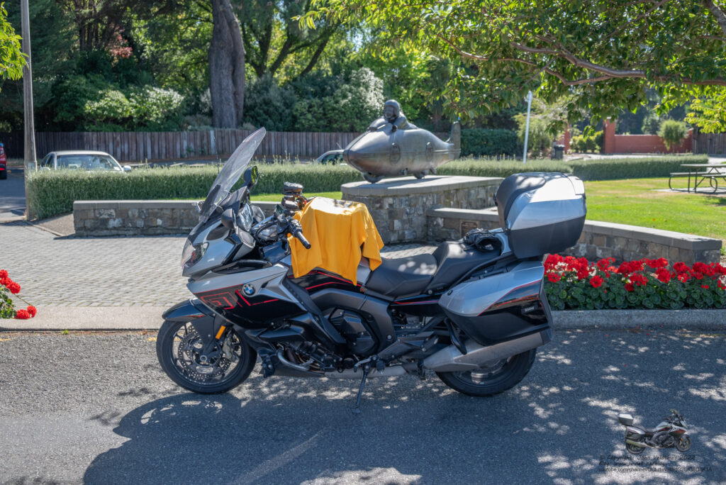
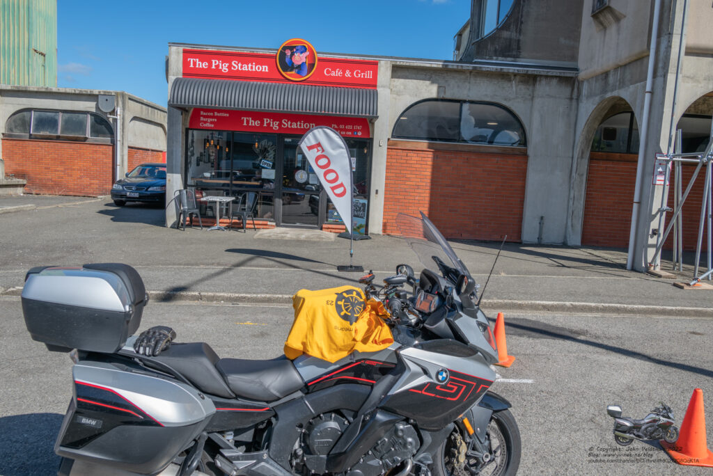
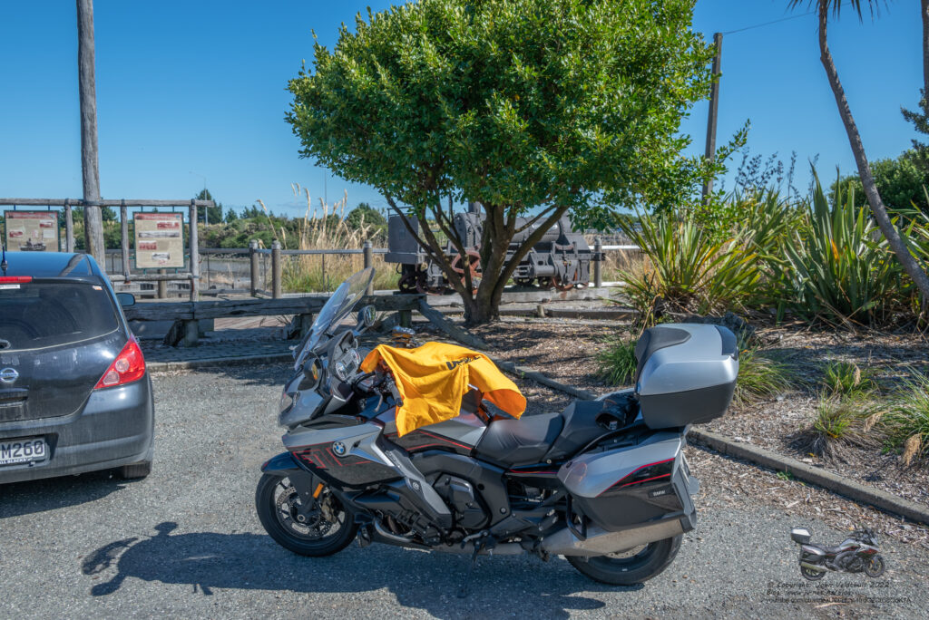
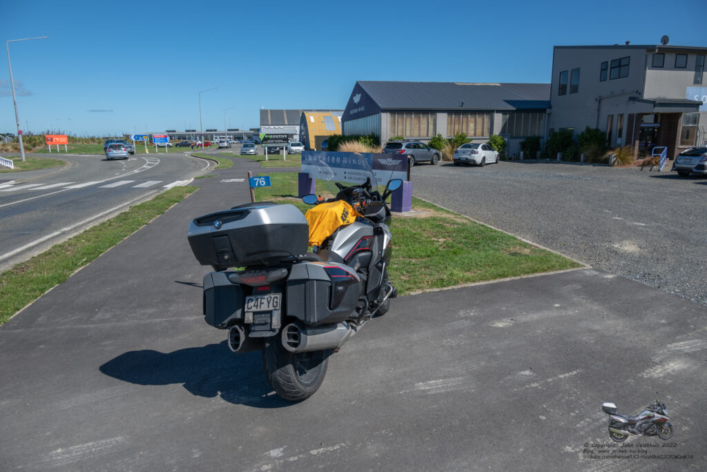
Next stop was Riverton and there was supposed to be roadworks here with a stop/go on one side. However, found the whole road was closed and a detour around it. GPS kept telling me to do a U-turn, but I followed the detour signs and after about 8km was back on the right road. Snapped the shot and headed for the next one.
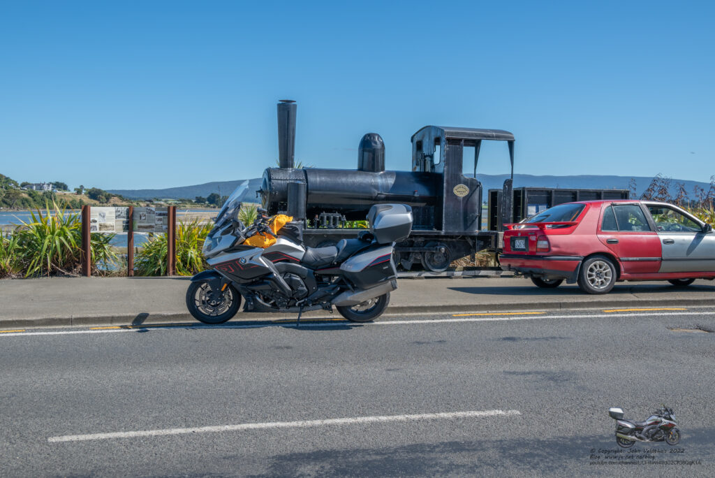
Lumsden Train was next and it meant a return trip through the closed road but I had already planned around that one and took left before the actual detour and probably shaved some time off. Had to skip a shaping point but all good. Lumsden was 102km away so could make up some lost time and GPS said I was still on its target time. Photo snapped and away.
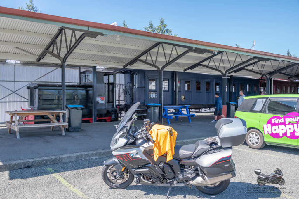
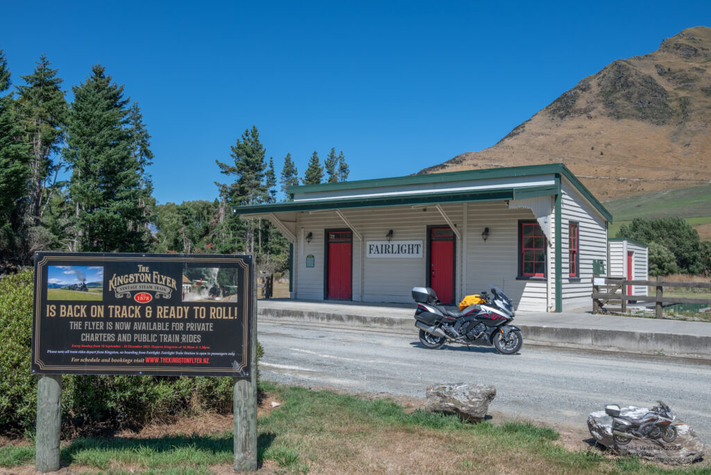
Fairlight station was my next stop at 50km away and was soon there taking the photo. Kingston station only 12km further and then Mystery #4 which I all took.
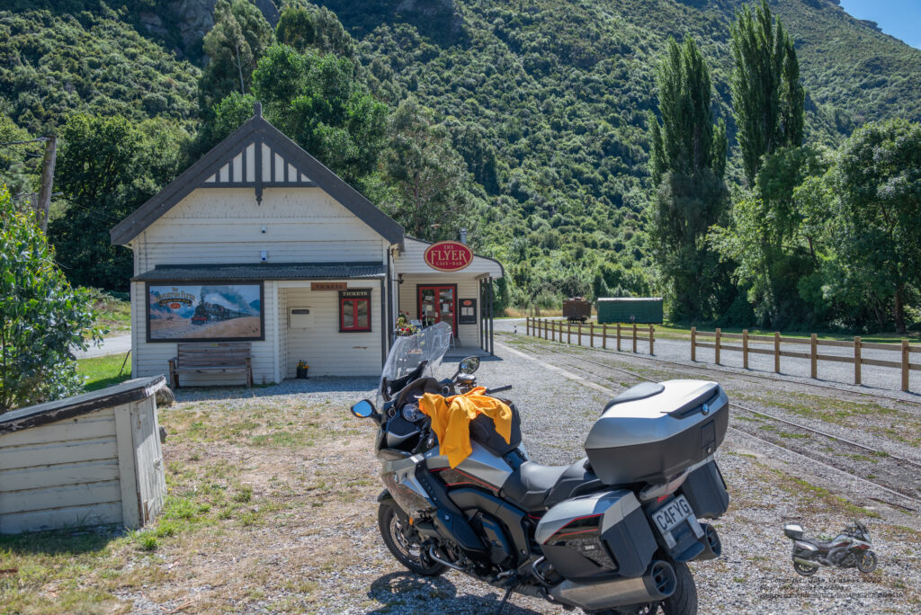
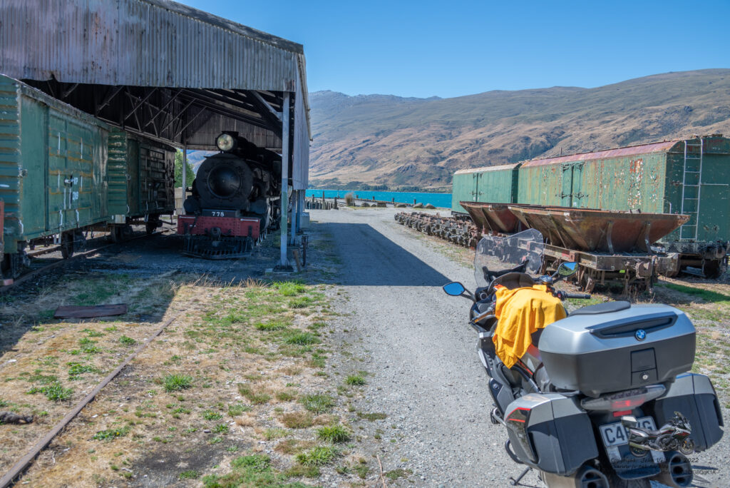
My first fuel stop was in Queenstown and then onto Clyde to snap the station. This followed 37km later by Lauder Station.
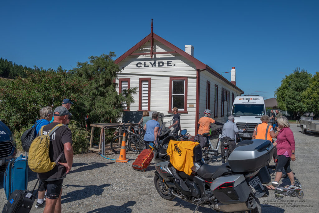
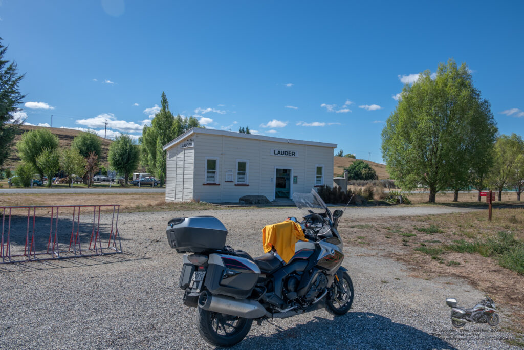
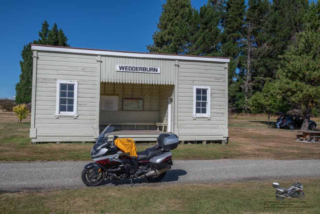
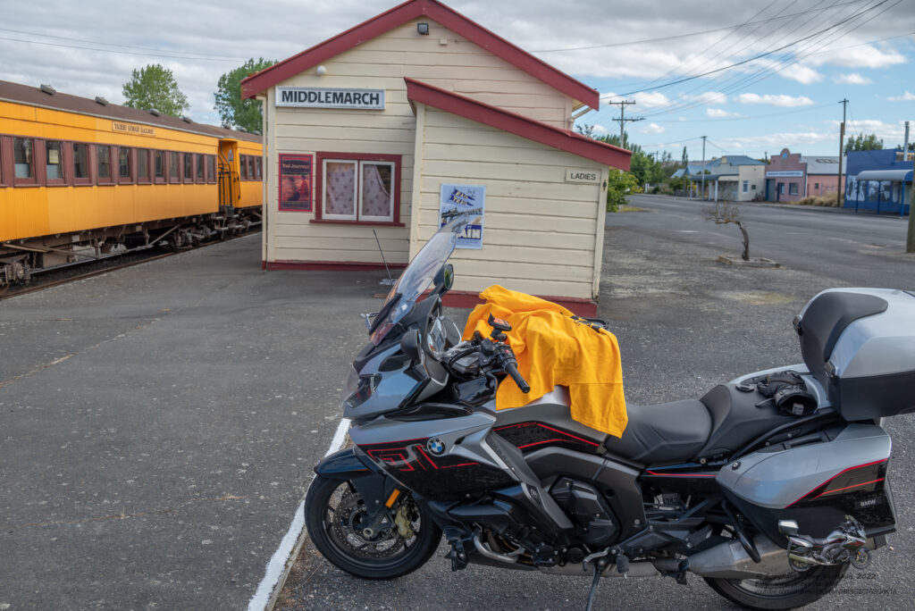
Weddarburn and Middlemarch station were next on the list to snap off and they were quickly dispatched.
Final stop was Dunedin Station, and it took me a while to find this one and I had to go up and down the road a few times.
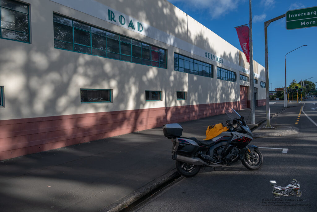
It was just on 18:00 so went and got some Burger King for tea and went to the motel and tucked into it and went to bed about 20:30 ready for an early start to Saturday.
Day 3 – Saturday – The Big and frustrating day
My original plan had me starting at 3am and arriving in Blenheim about 7pm. I wanted to get there a bit earlier and decided to leave at 2am. Looked outside and could see the stars so decided to put the thermals on. This was a good call as it got down to 3.5 degrees through the pass.
First stop was 200km away at Timaru. GPS was telling me I would be finished by 16:00 so was all good so far. This was not for long though as when I arrived in Timaru at the GPS co-ordinates, I could not find the photo location. I spent 30 minutes going around streets before giving up and taking a photo of the actual station. Will not include this in my list. Even after using Google Maps, I could not find it.
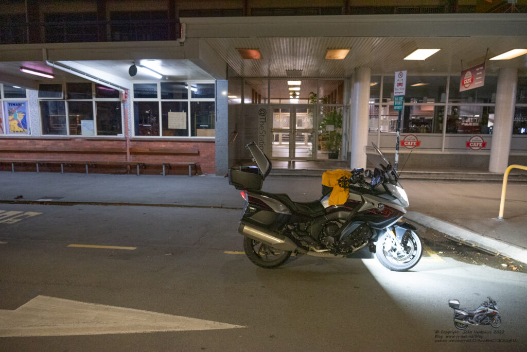
Next stop was 20km further on at Pleasant Point Railway. Once again, I could not find the location to take the photo and spent 20 minutes on this one going up and down the road. Looking on Google Maps for this one I found I rode past it at least twice. Had it been daylight I would have found it. Anyway, snapped a photo of the station I could find.
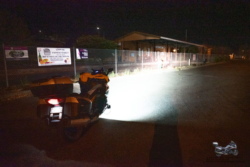
Third stop for the day was Plains Vintage Railway and yep, could not find it. The GPS location was a carpark for an athletics club. Once again went up the road a bit and gave up quickly as all this was eating into my time. Google Maps, once I was home showed this one was down a side road quite some distance away from the GPS location. Again, had it been light I might have found it. No photo here. I was now down 125 points.
A quick splash of fuel at Ashburton and it was off to Christchurch station. Just coming into Christchurch, it started hammering down and it lasted the whole time I was there. Found the tower and snapped it. Not sure why but the camera did not focus even though it looked okay in the view finder.
Weka Pass was next on the list, and this was quickly dispatched and another splash of fuel at Amberly.
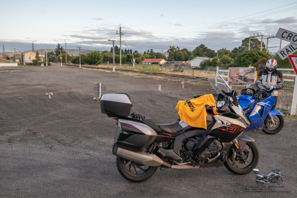
Now the GPS started to tell me to take side roads, but I had the Track overlay turned on so was aware of my original route and followed that. Springfield Station was next, and I was looking for somewhere to grab breakfast. Snapped the photo and checked in Springfield which had a café open but heaps in there so carried on.
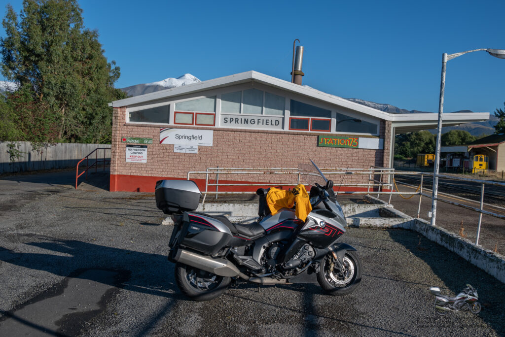
Arthur’s Pass station was next at 82km distance and down to 3.5 degrees so had the handlebar heaters going and the bum warmer. There was several riders here and I would see quite a few more from here onwards. Snap.
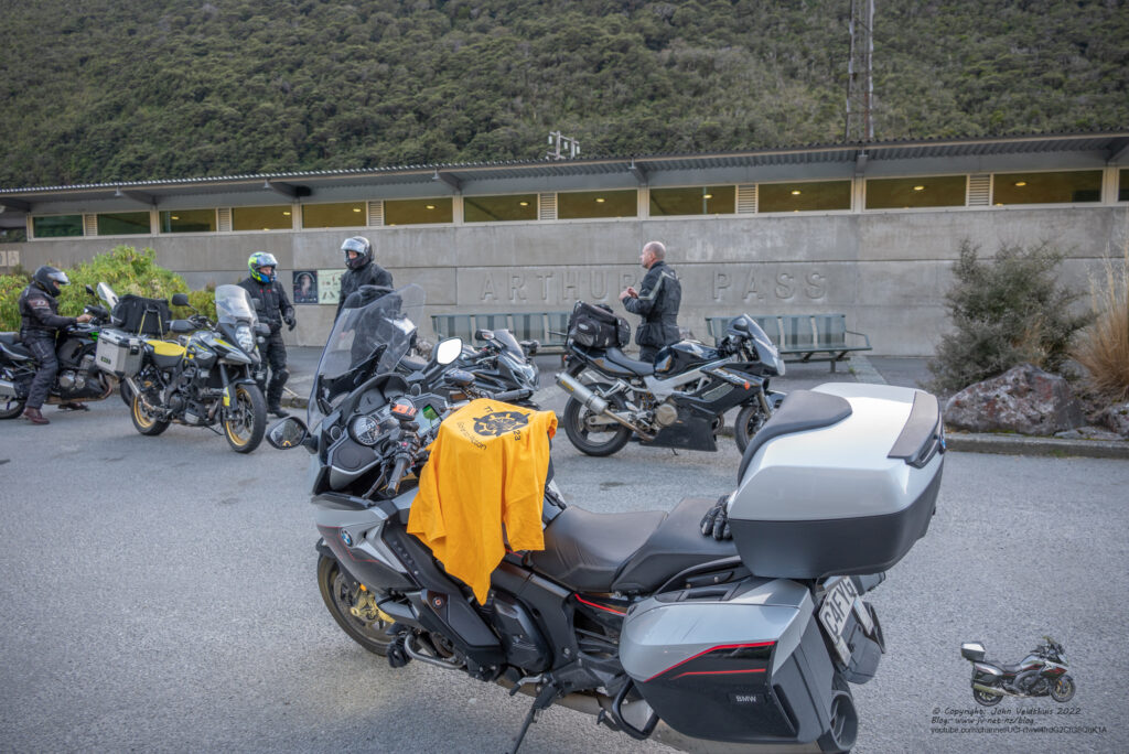
Next was another splash of fuel in Greymouth but first had breakfast just turning onto SH8. Was very nice and I was quite hungry at that point. Greymouth Station, Runanga and Mystery #3 where all very close so snapped them off. At this point I noticed I did not have a lens cap for my camera. Must have left it on the seat and it fell off when I rode off. $25 down the tube.
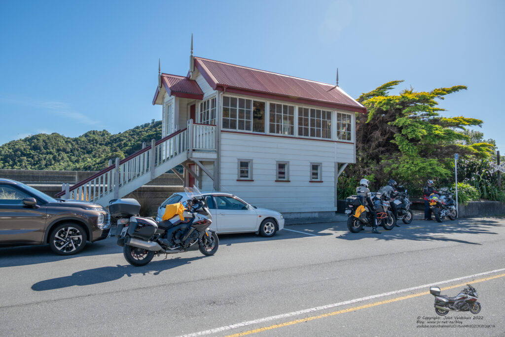
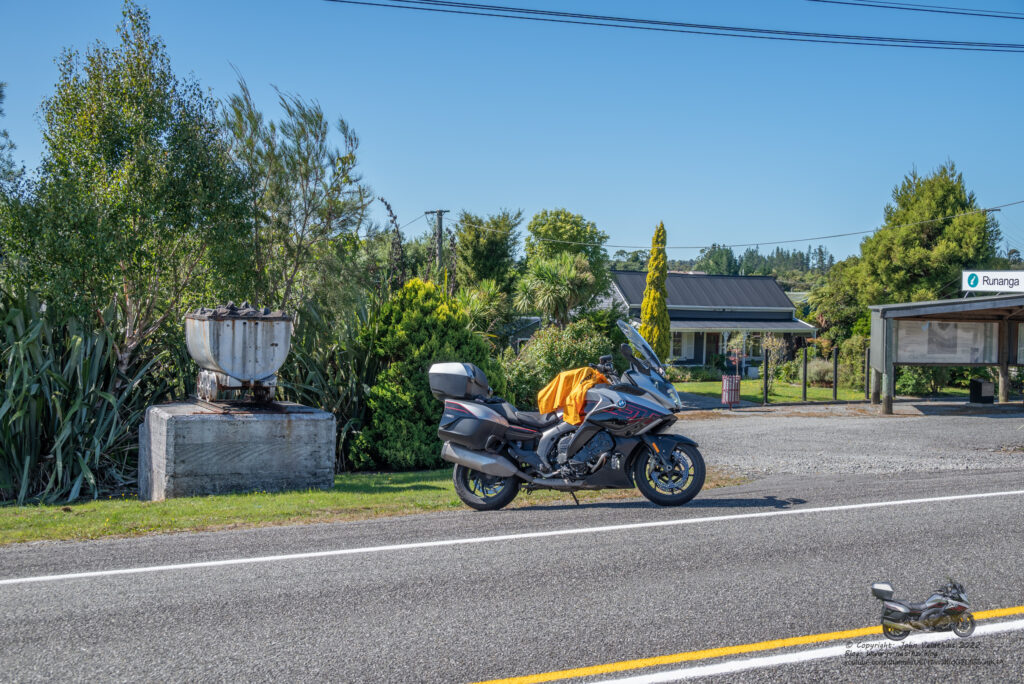
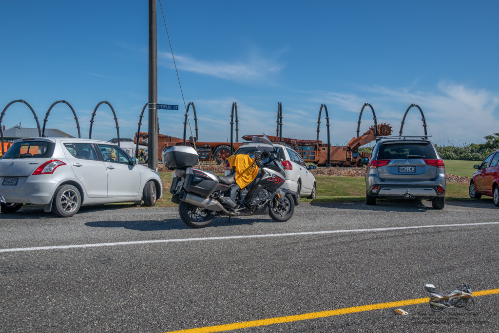
Stillwater station, Mystery #1, and Ngahere Train were all very close togeather and snapped them all off. GPS said I was keeping to my time, and I had made up some of the lost time from the first three locations.
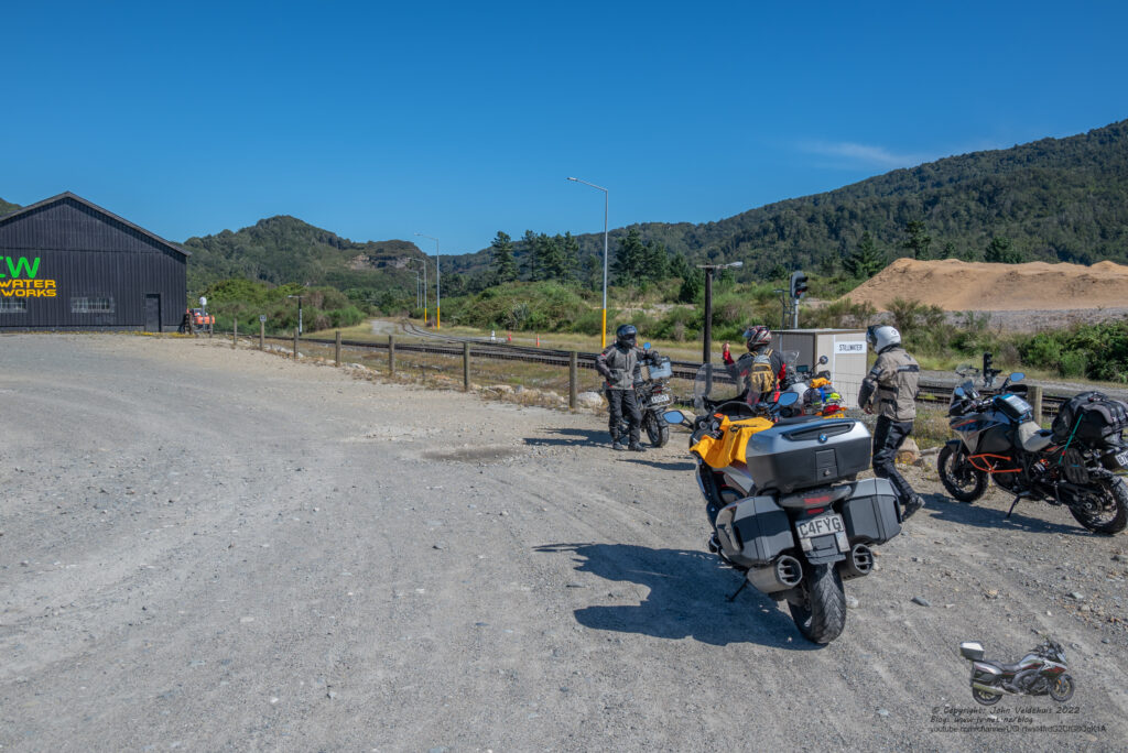
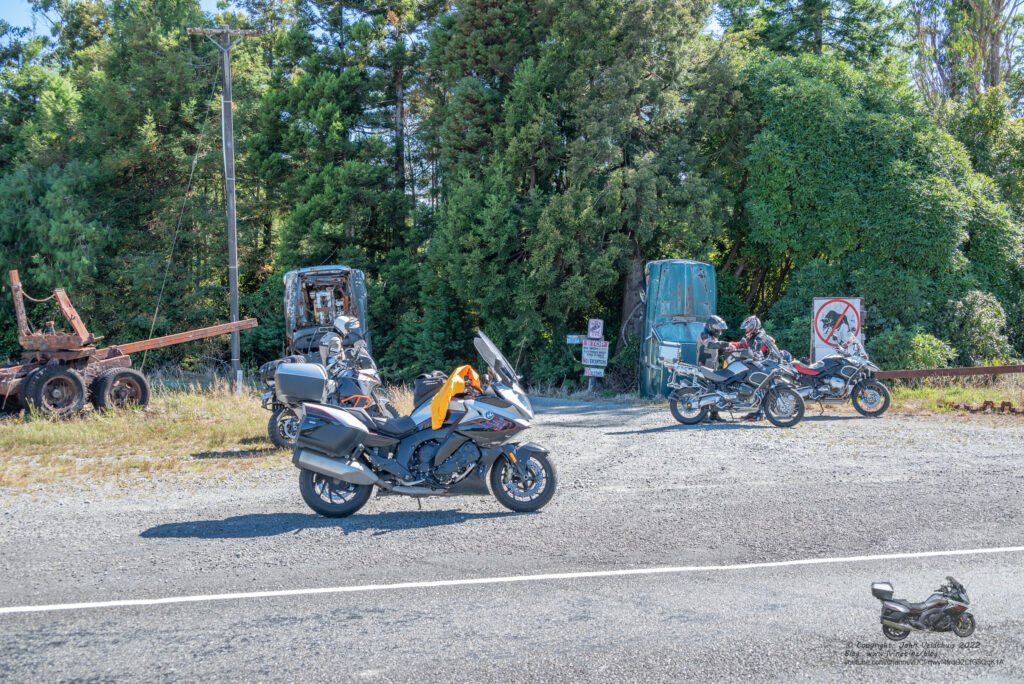
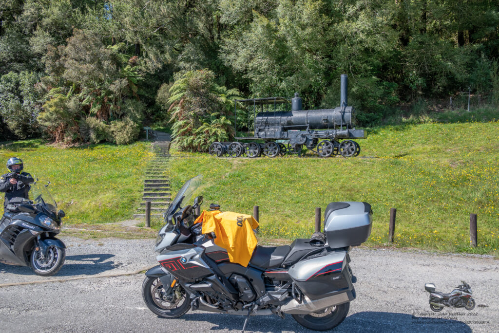
Yet another splash of fuel in Reefton and Reefton Train, and Reefton Station snapped off being very close togeather.
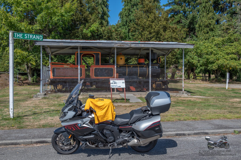
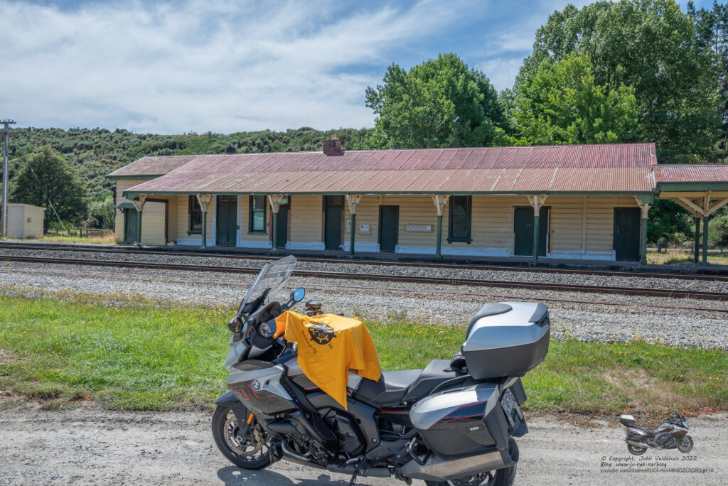
Kawatiri was next about an hour away through some nice twisty roads and took the photo.
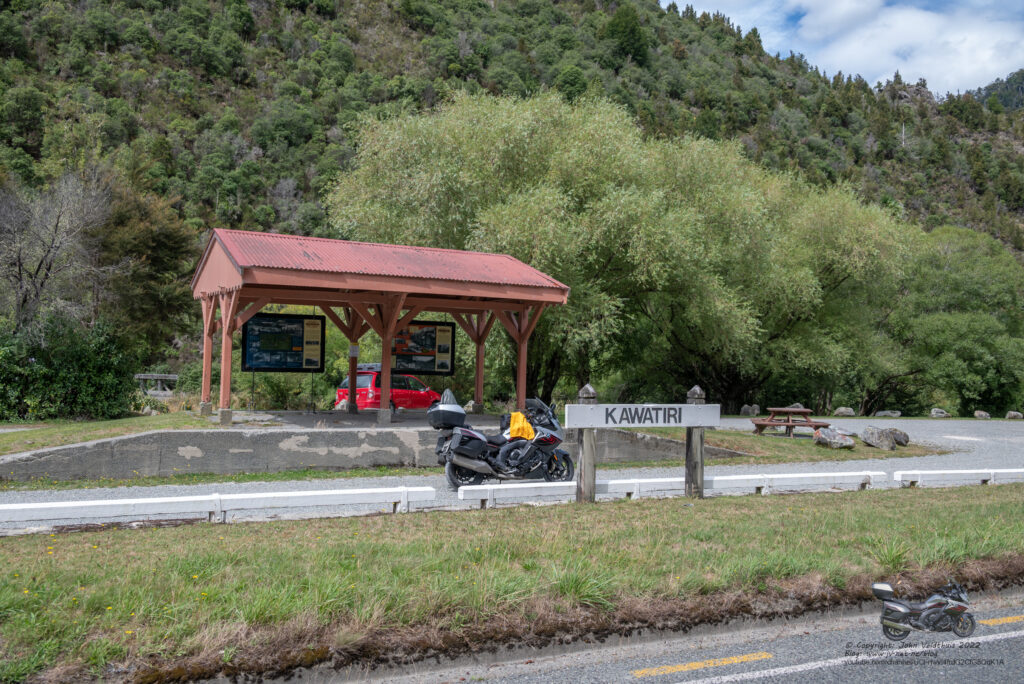
Tapawera was next up and then the Wakefield Mural. Both easily found.
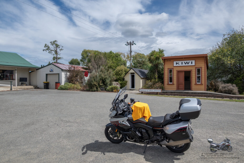
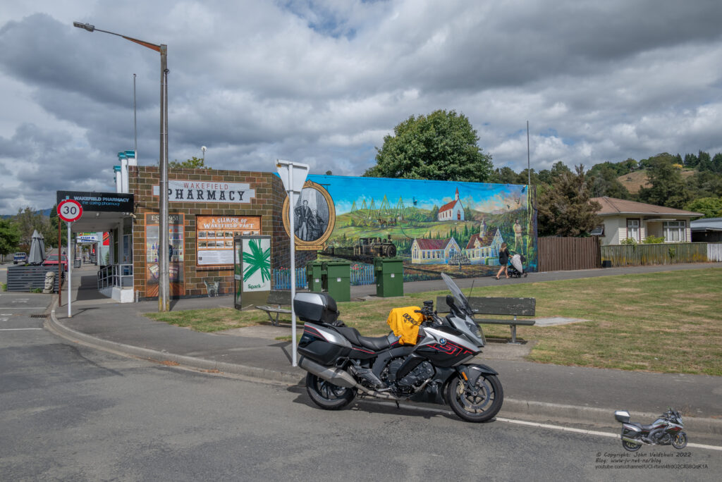
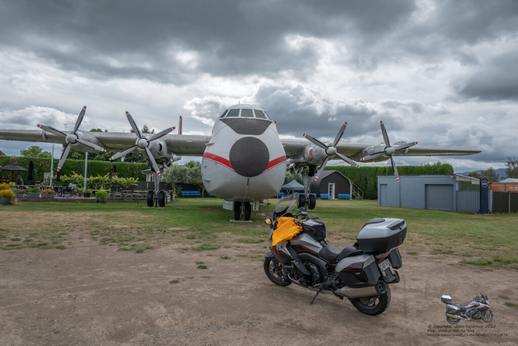
The big plane at Argosy was the second to last stop for the day and then into Blenheim to grab my last for the day at Blenheim station.
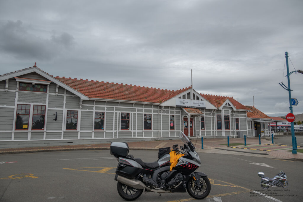
Arrived at my motel (Two Tree Lodge) just on 16:30 for a 15-hour riding day and 1152kms travelled. The motel was great and can highly recommend it. Grabbed some fish and chips for tea and watched a bit of TV after making sure I still had enough points after missing the first three.
Day 4 – Sunday – The final day and a wet one
Got woken by heavy rain during the night a couple of times so was thinking I would be needing the rain suit for the last day. Understatement there. Woke at 4:30am and decided to pack up and get under way. I needed 227km to get the 2000km and had decided to go to Kaikoura to get the checkpoint there as well. Did not need the points, just the distance. Left at 5am and it was not raining but you could feel it wanted to. After about 30km it started to rain. After 40km it started to hammer down and it was so hard that I had to slow to 40kph so I could see, and I could feel myself getting wet through the rain suit. Made the call to turn around and get the needed distance elsewhere. After another 15kms heading back towards Blenheim it had stopped raining. Got to Blenheim and worked out I needed a further 70kms so headed back towards Nelson for 36km, turned around and made my way back to Blenheim. Refuelled for the last time in the South Island and headed for my last photo at Picton Railway station. The GPS put me on some strange route which headed for the finish. I did a U-turn and then it put me back on track. This was about the only time it mucked up the route. Took the photo and it was way too early to go to the finish so stopped in town and had breakfast. Once I stopped, I tried to get out of my rain suit but as I said I was wet under it, and it did not want to slide off. A kind US gentleman came out of the café and gave me a hand to get out of it. As thanks I gave him my paper after I finished breakfast.
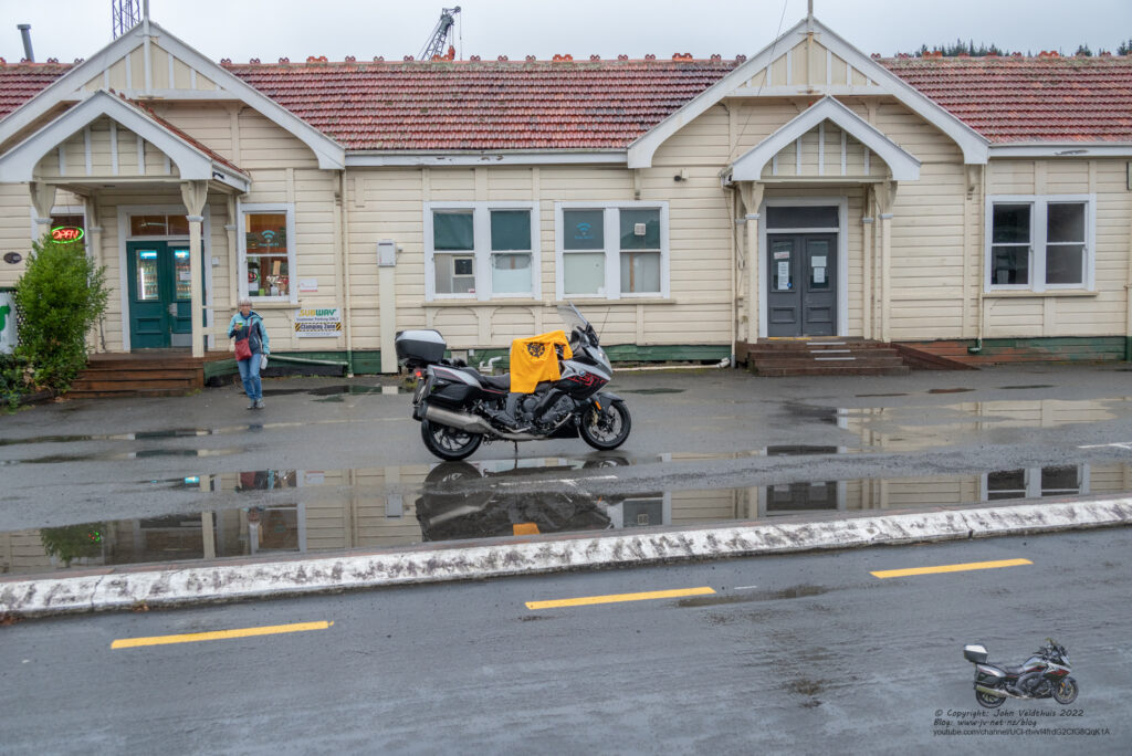
Headed to the finish and was the second one there. Seems the council had double booked the event, so we moved to the other car park area. Had to wait a while so I could get my sticker and take my finish photo. Did both and headed off to the ferry at about 9am.
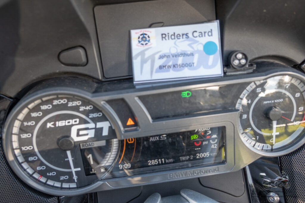
I had already got a text saying my ferry was delayed and not to check in before 10:30am. I thought I would try, and I could just sit in the sun and dry out and when I got to the check in booth the lady was on the radio. She then asked me if I was on the 11am sailing and I said I was. She then told me that I could get on the ferry that was loading if I wanted. Boy did I ever! Ticket printed and it was straight through to the ferry without stopping (they were still loading heaps for cars) and within minutes I was tying down the bike and up stripping off drying out my clothes in the sun.
Rest of the trip home was uneventful except for a huge downpour of rain around Wanganui for about 5 minutes.
Another TT2000 done and only the photos and stuff to finish off and be uploaded.
Many thanks to the organisers for another great TT2000 and next time I am going to check the locations via Google Maps and get the actual locations before I leave. I might have found the three missed ones in the daytime but at night they were impossible.
Great writeup, as usual. I think Clive (Tiger 900) and I (Yellow R1150GS) scooted past you on the ride into Gore?
Did the ‘Pilot’ theme and enjoyed the Crown Range, West Coast and Arthurs in perfect conditions. Stayed Amberley Saturday night and copped all that rain, in the dark, heading North for the finish and our 2pm ferry that was rescheduled to 11am!!!
Definitely worth the effort to find the actual CP lat/longs in advance.
Bring on 2024!!
Cheers
Chris